New Zealand Trekking
Routeburn Track
April 2024
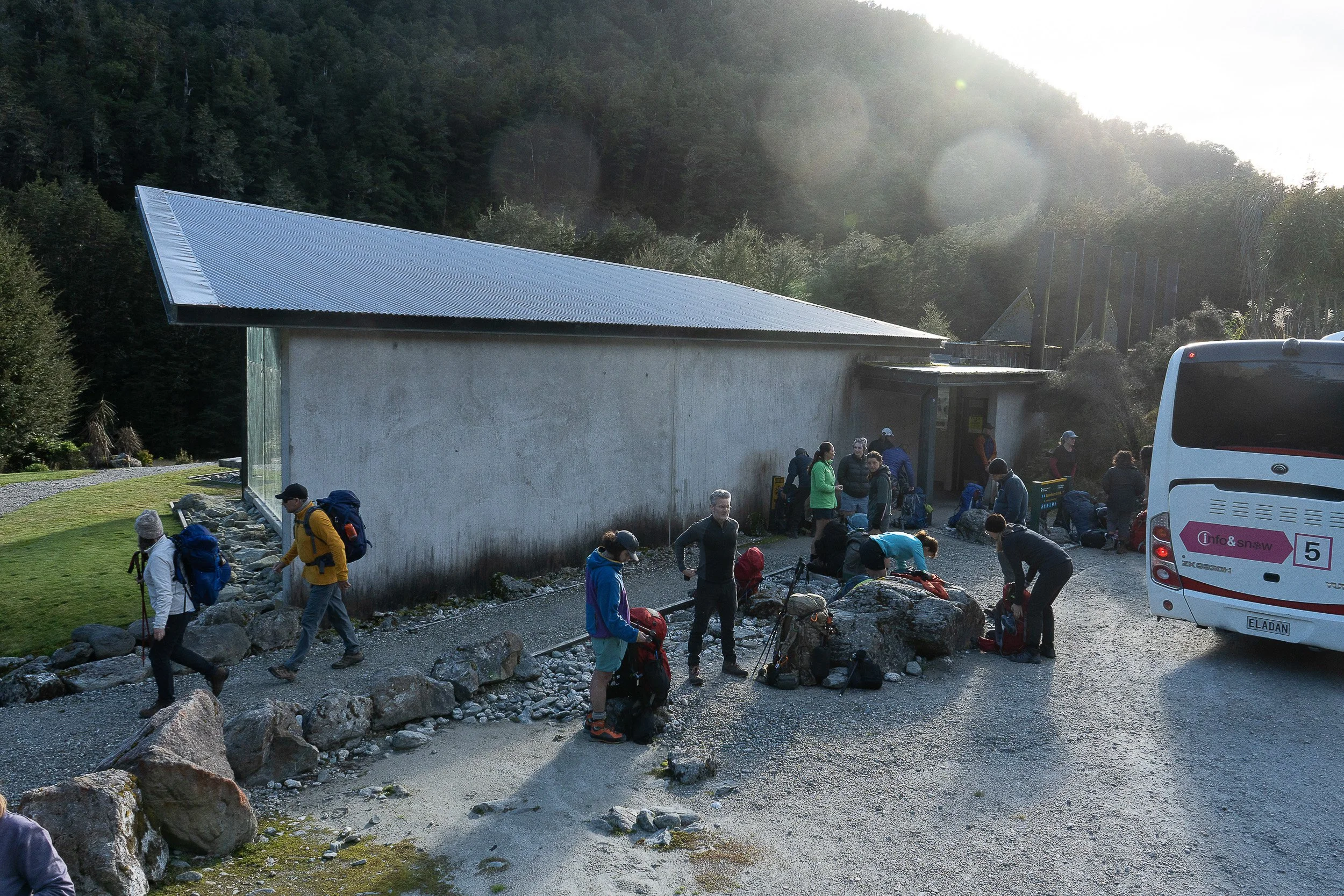
An early morning bus from Queenstown took me and other hikers to the beginning of the Routeburn Track. Here we are gathering our gear and getting organized for the walk.

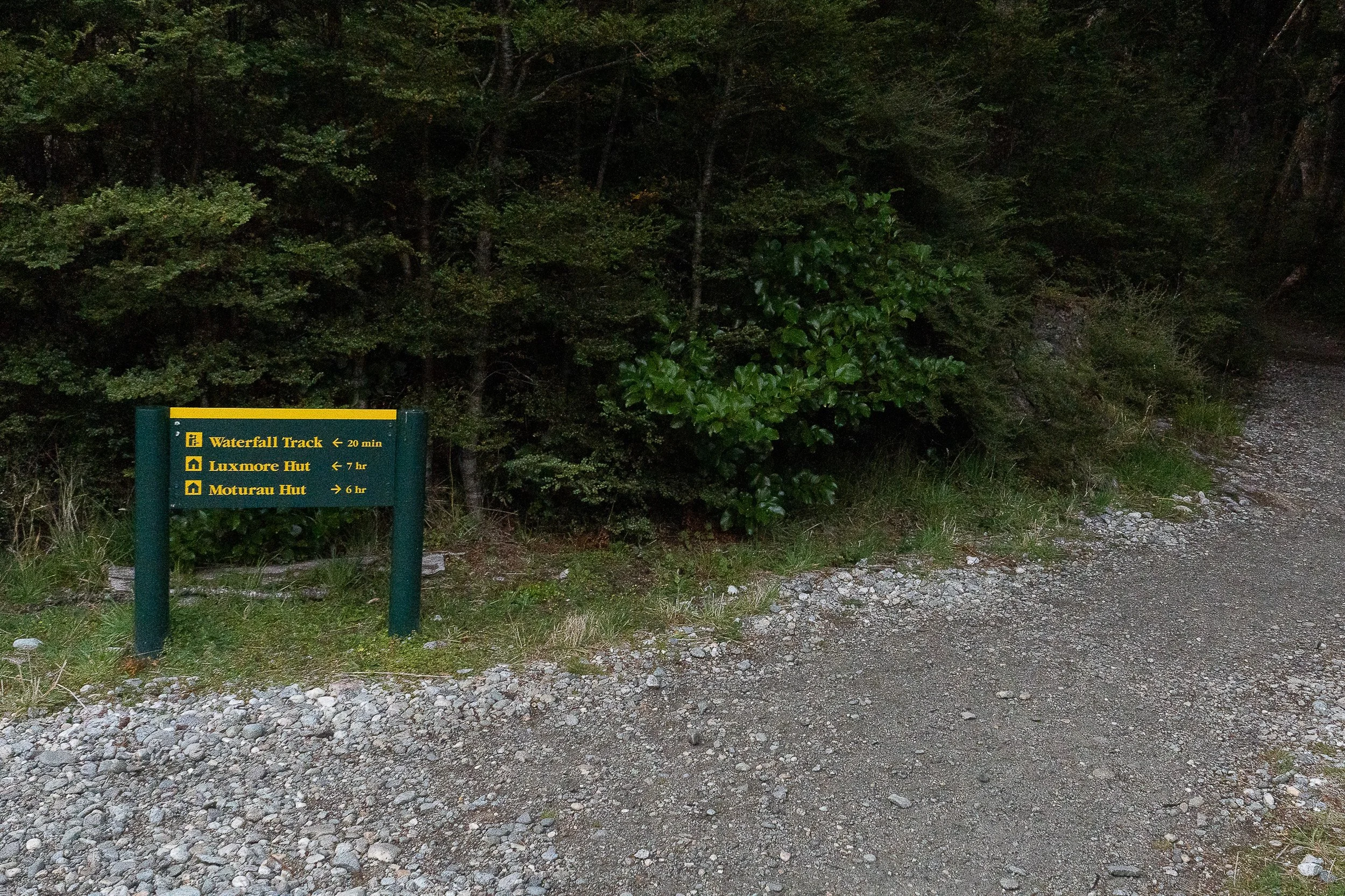
Sign at the beginning of the hike for distances to the day’s destinations. I’m headed to the Routeburn Falls Hut.
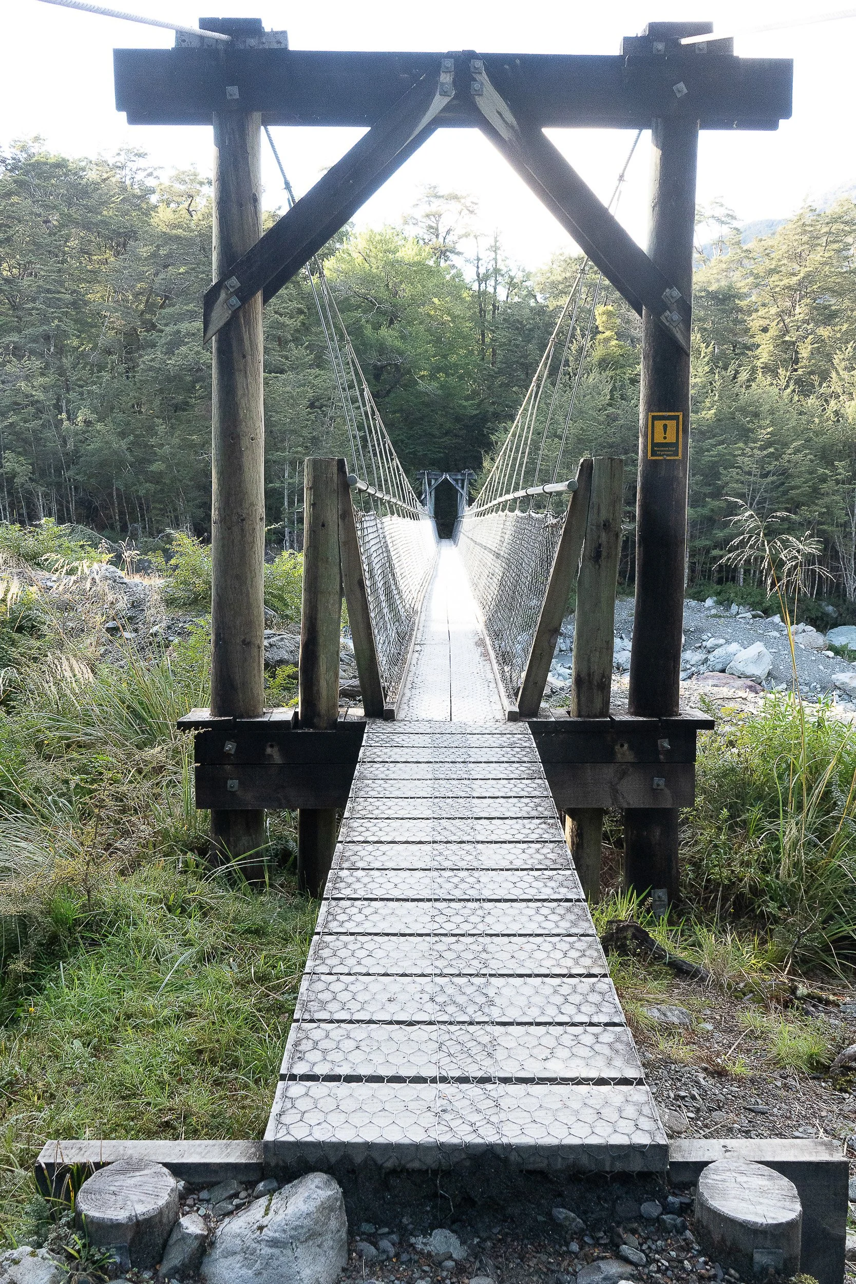
Suspension bridge over a stream not far from the beginning of the trail.

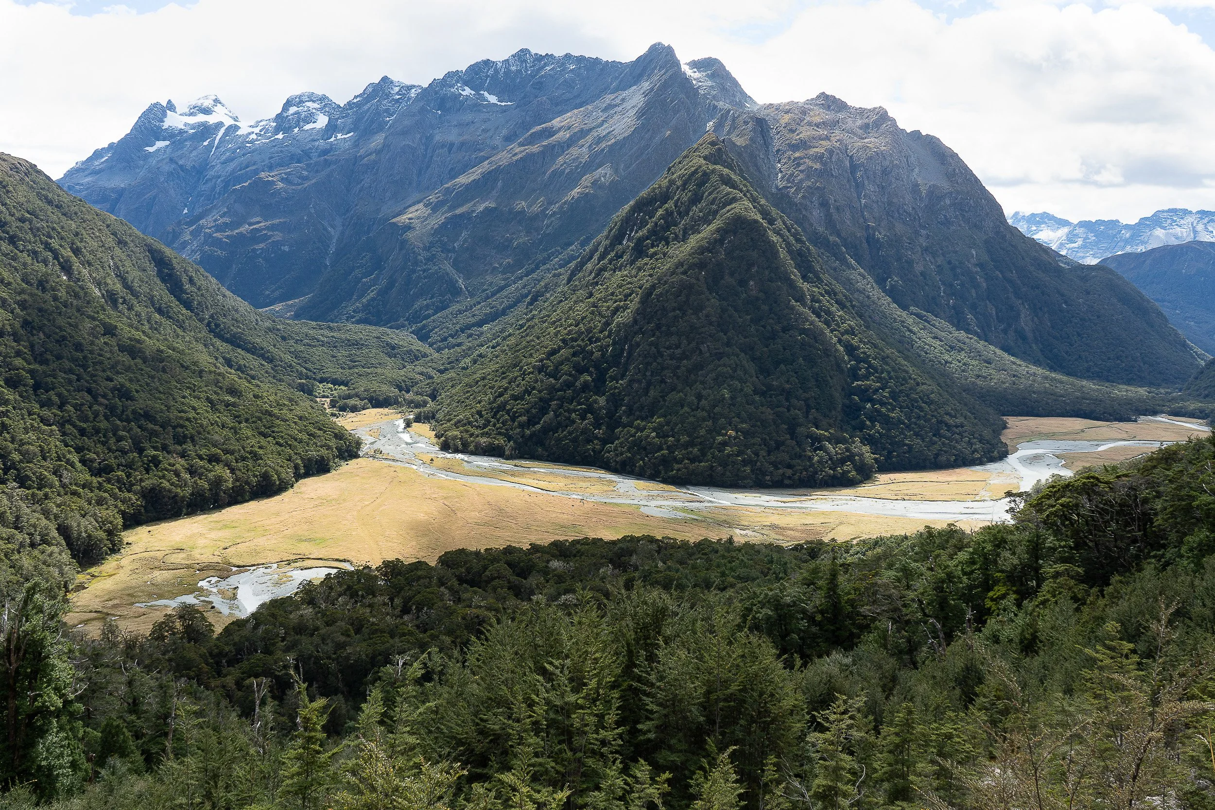
The trail along Routeburn Flats before starting the climb to Routeburn Falls Hut.
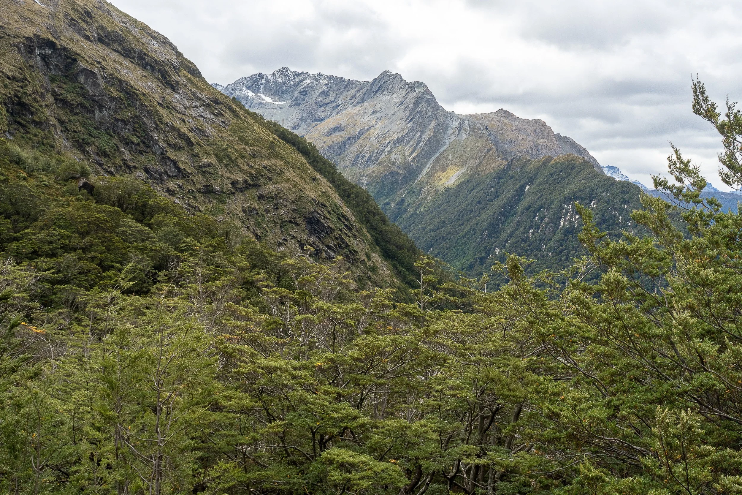
The view from Routeburn Falls Hut. The sign said 2.5 hours to get to the hut making it a relatively short hike.
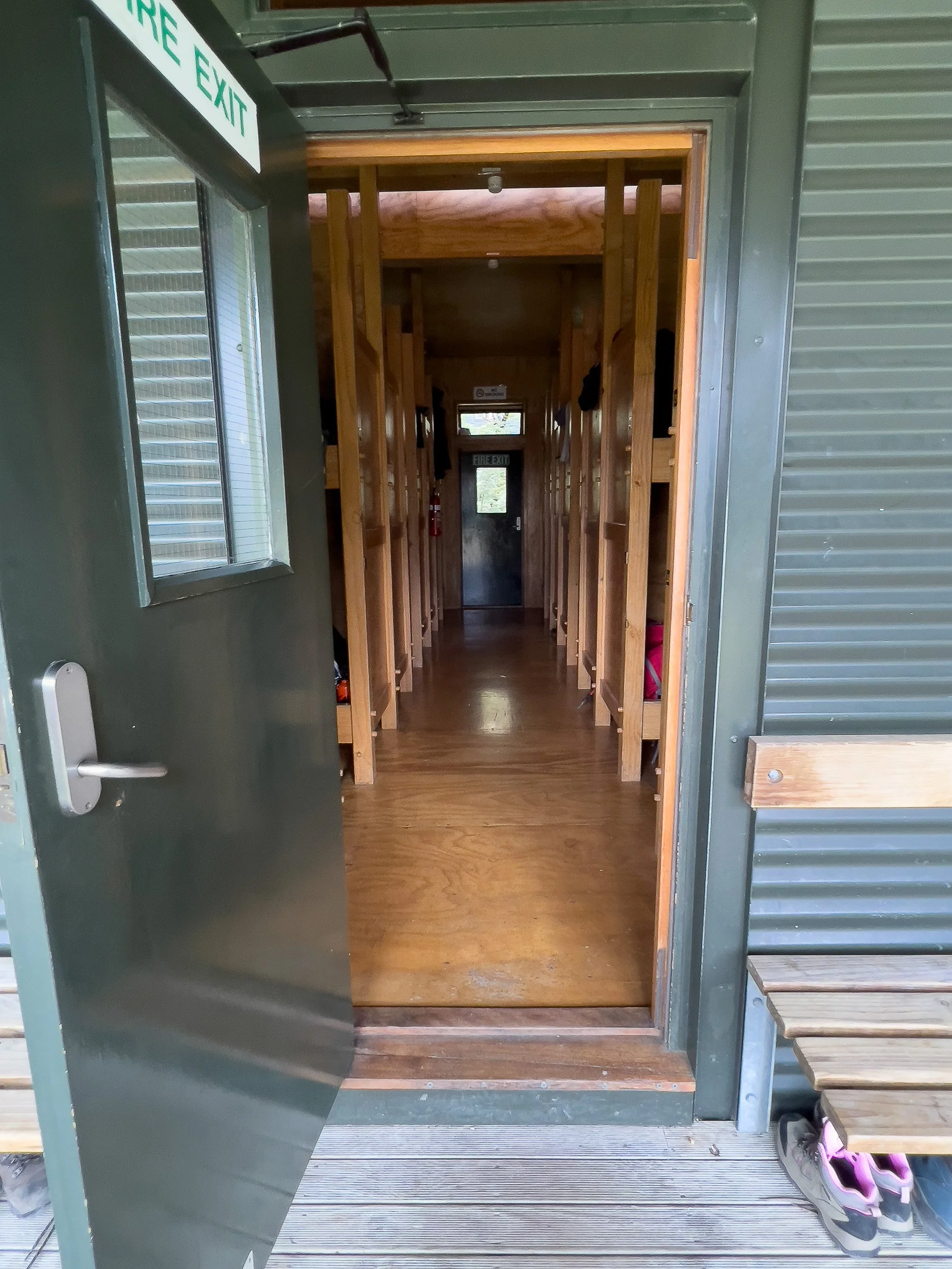
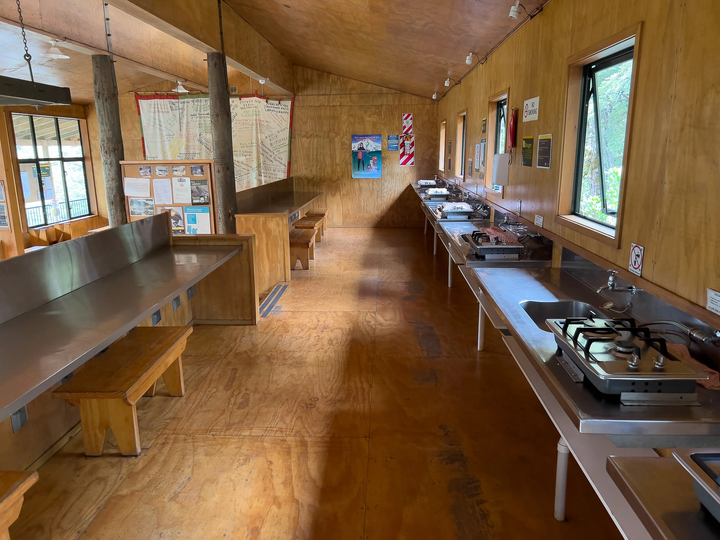
Routeburn Falls Hut. Left, the sleeping quarters with bunk beds. Right, the dining room with gas stoves conveniently located next to sinks. Signs advised to boil the water to avoid giardia and the like, but I didn’t do that and had no problem on either the Routeburn or Kepler Tracks.
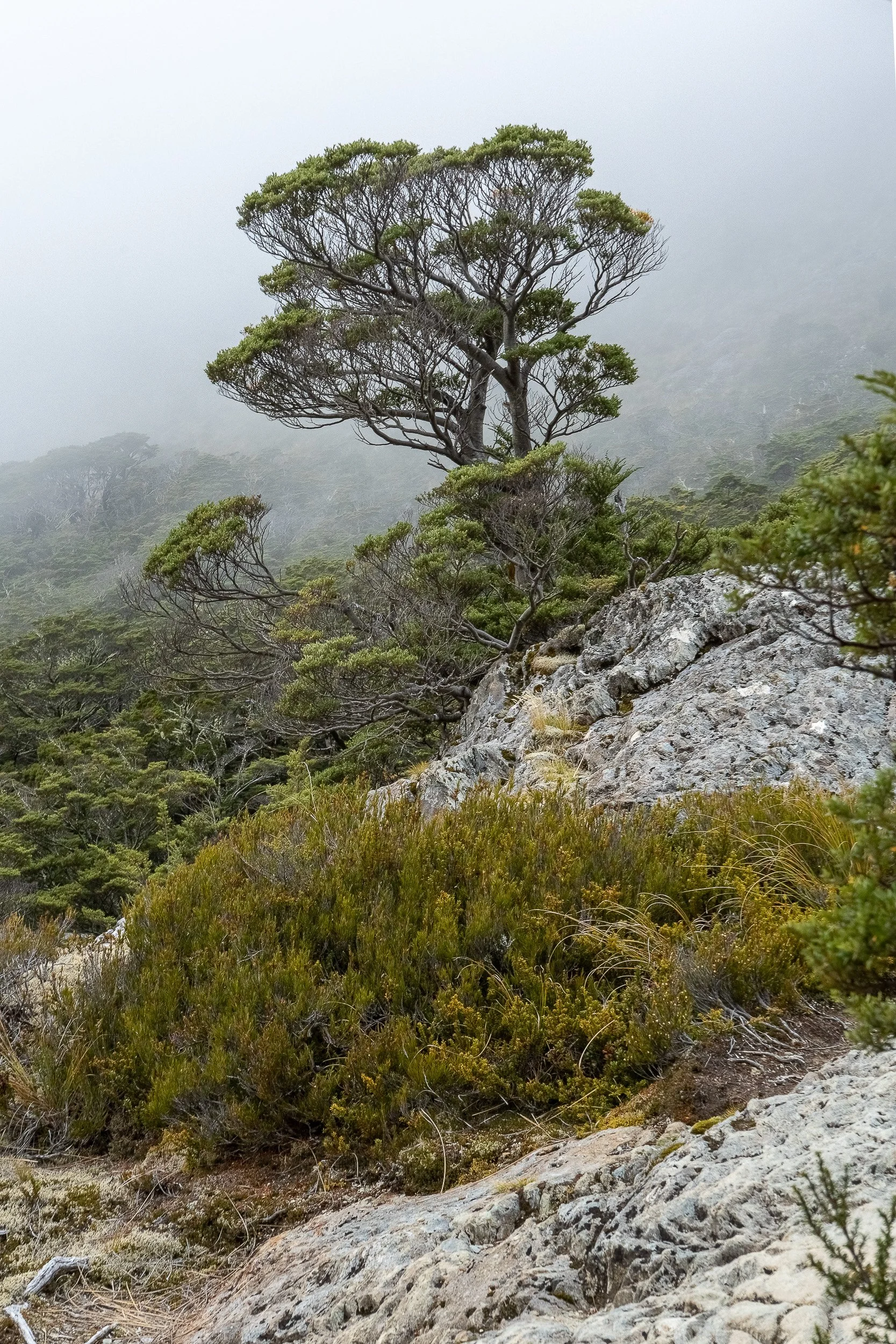
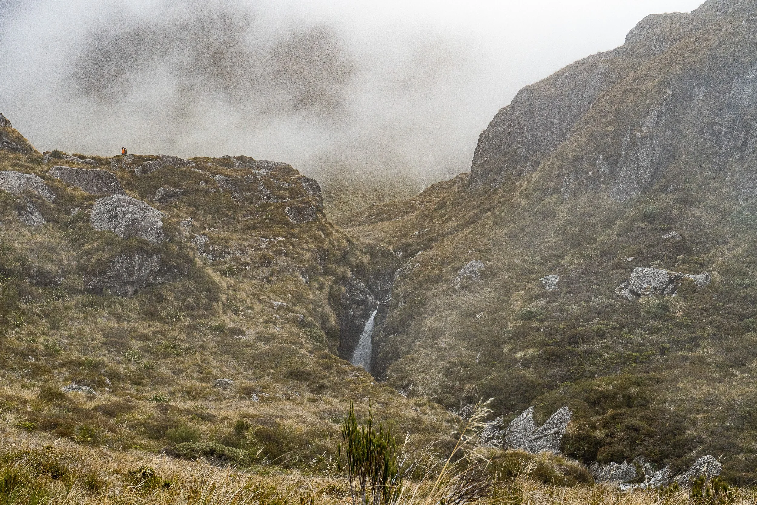
The next morning, it was off to the Harris Saddle and then Mackenzie Hut. Along the way were cliffs where you could hear but not see Kea parrots screeching in the fog.
This is the view from Conical Hill, located at Harris Saddle. Despite the fog, I decided to climb to the top. Fortunately the fog lifted as I arrived at the top. The views were spectacular so I’m glad I didn’t pass it up. It was steep but worth the effort.

This is a view of Harris Saddle coming down from Conical Hill. The building was a place for emergencies (e.g., extreme weather). It was not for regular camping. Good news: there was also a toilet.
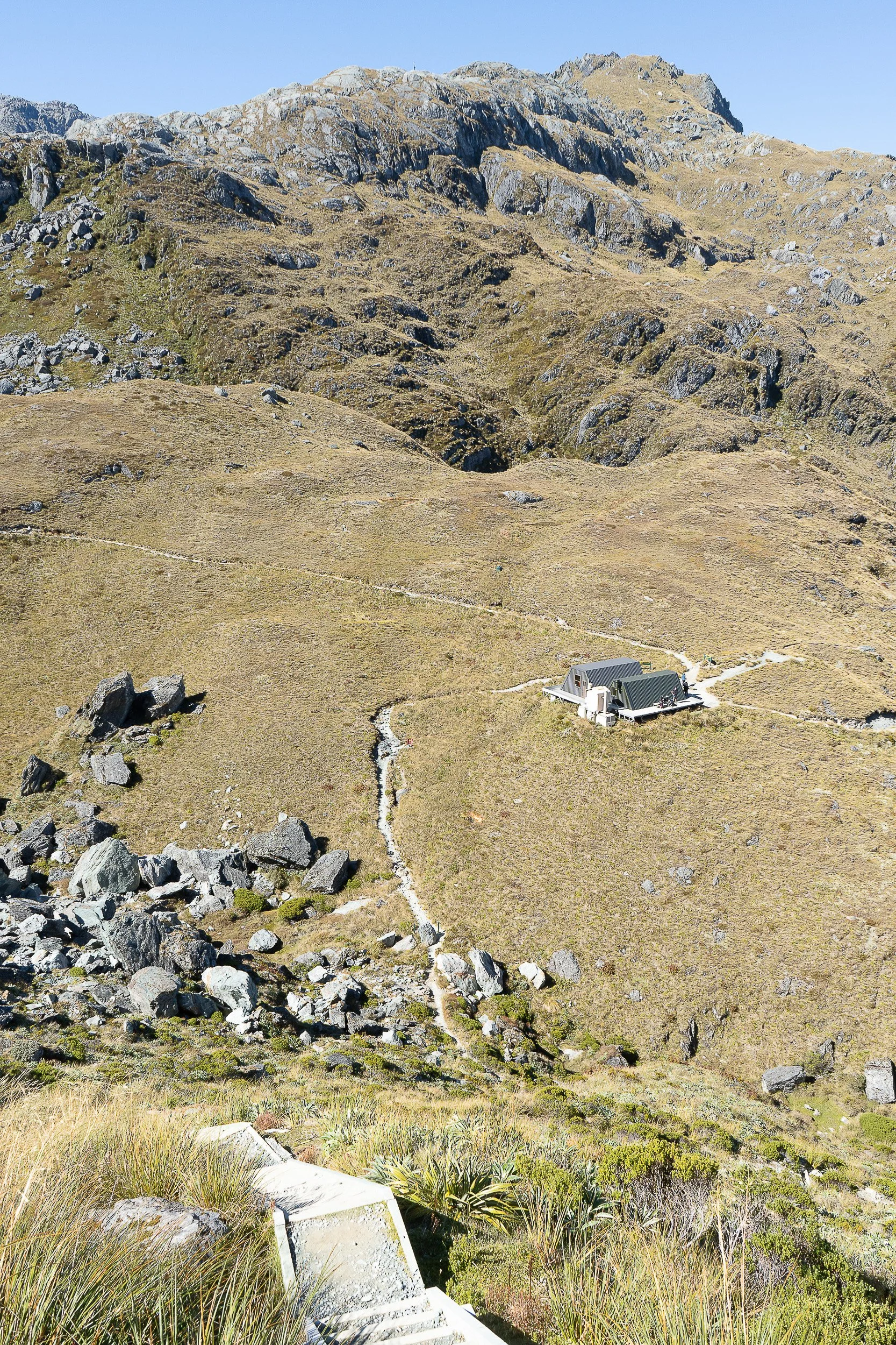
Not too long after the saddle, Mackenzie Hut comes into view but the Hut was still at least 1 1/2 - 2 hours away (if memory serves).

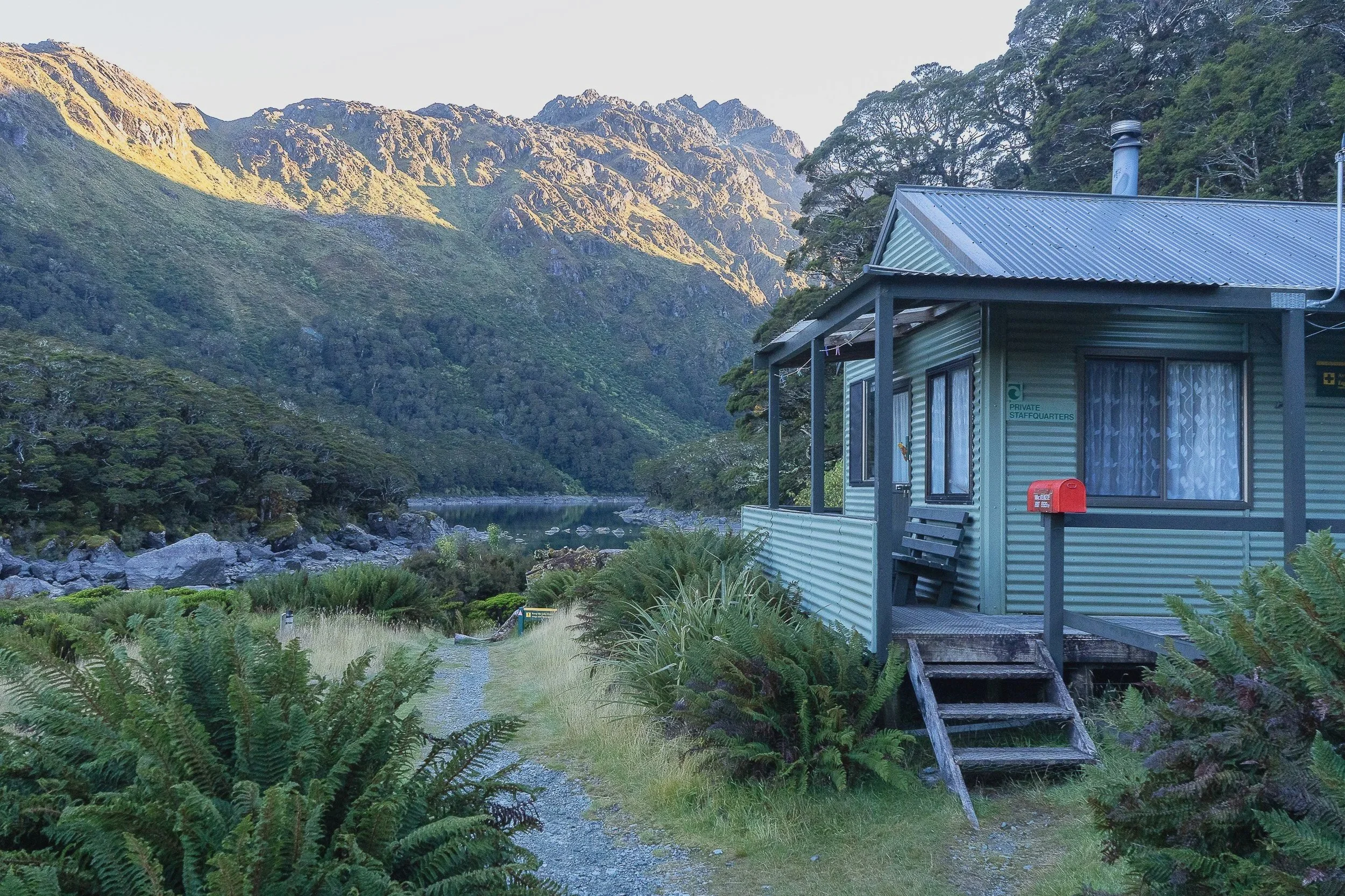
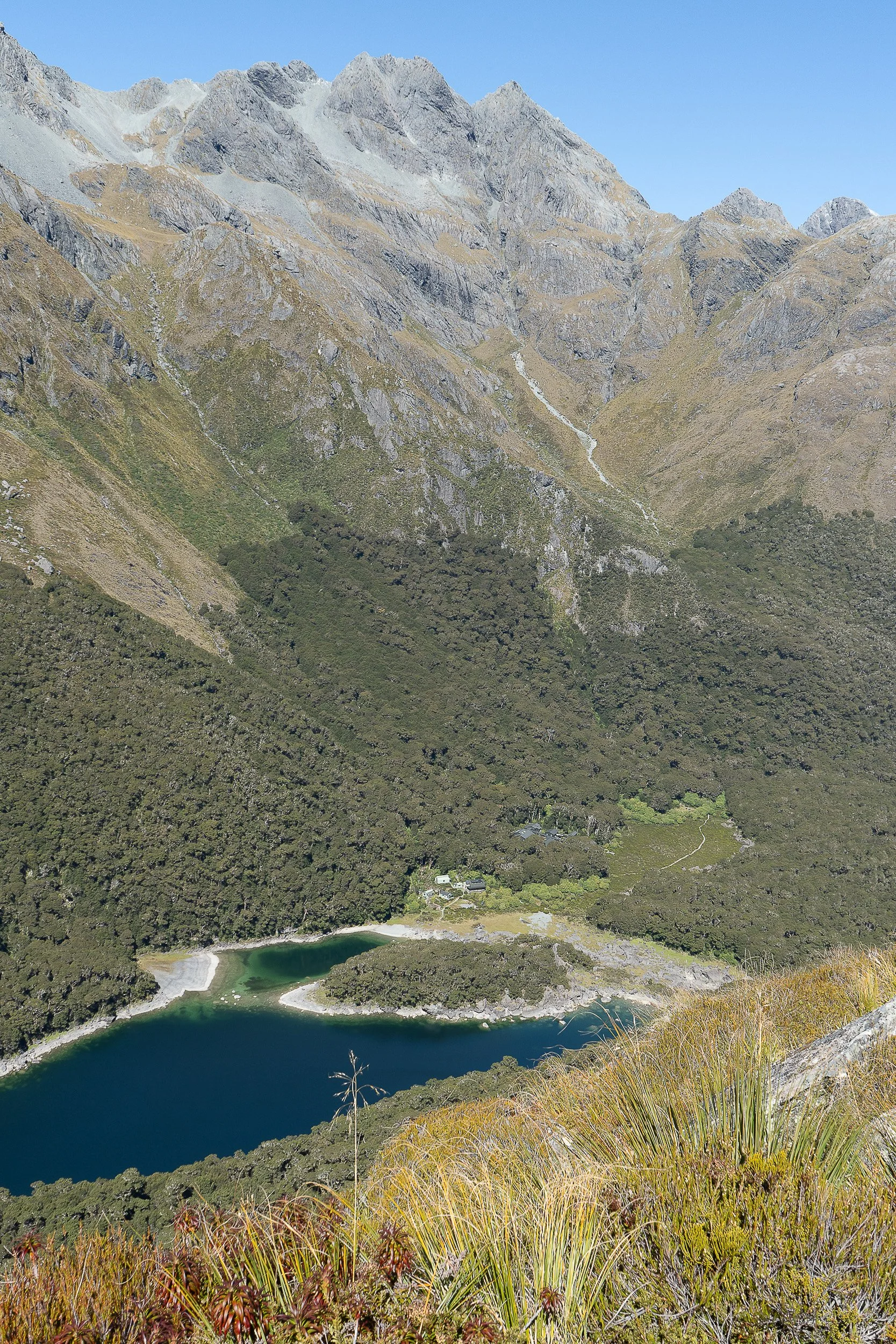
Mackenzie Hut. Left, the dining facilities with limited sleeping spaces above it. Middle, and adjacent sleeping facility where I slept. Right, the warden’s cabin. The lake is in the background behind the warden’s cabin. I decided to put on my bathing suit and went into the water. It was freezing cold. I dunked myself in the lake just enough to wash off the sweat and immediately got out. Brrrr! I could never be a practicing member of the Coney Island Polar Bear Club.

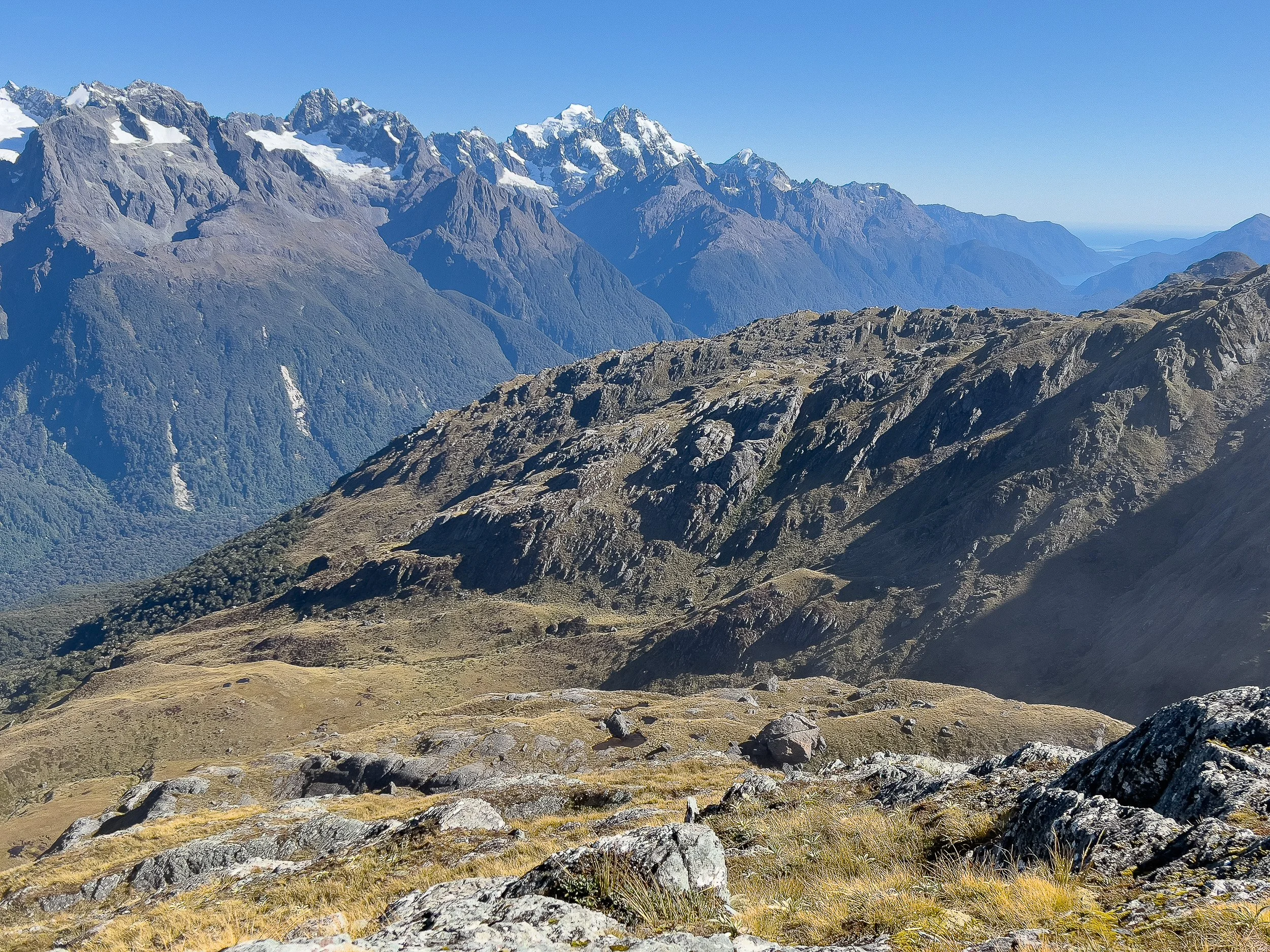
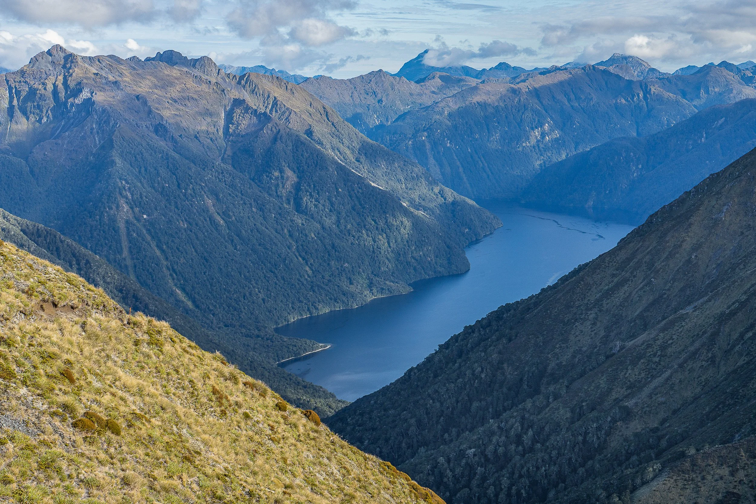
This is the view of Hollyford Valley in the morning after leaving Mackenzie Hut. Today’s destination is the Divide where I will be picked up by a bus and taken to Te Anau where I will get ready for the Kepler Track that starts the next morning.
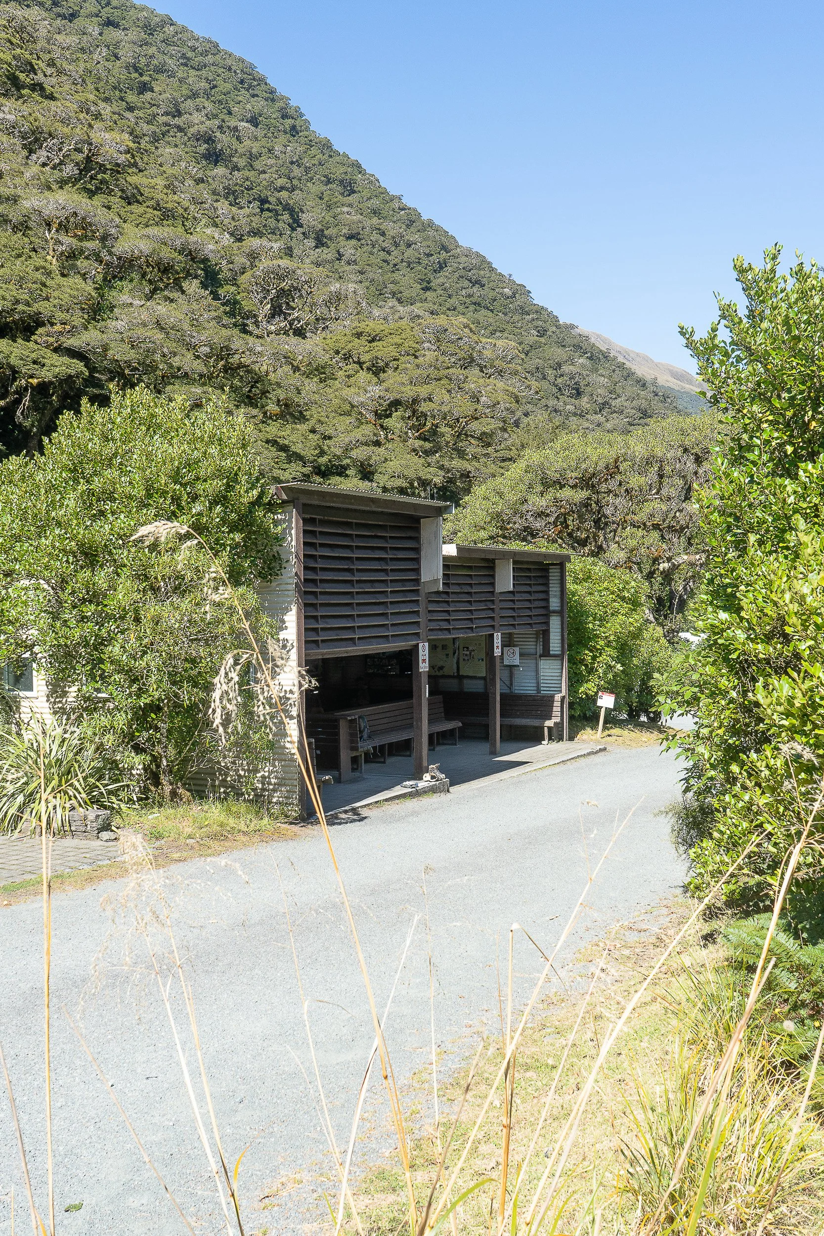
The Divide where hikers can wait on benches and out of the sun for the bus to Te Anau.
KEPLER TRACK
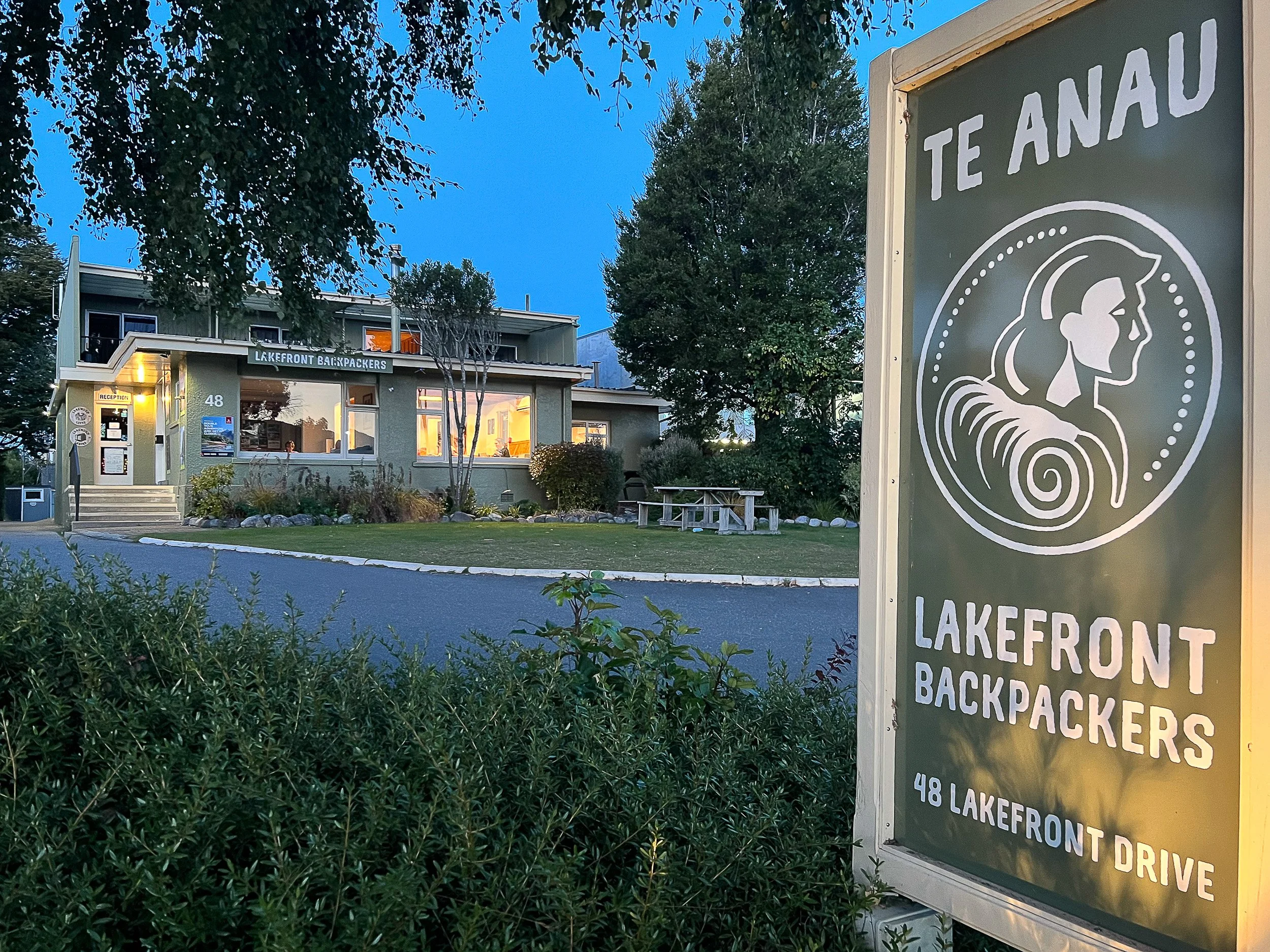
After the bus ride to Te Anau, I went to the Te Anau Lakefront Backpackers Hostel where I had a reservation. With still some afternoon hours available, I was able to wash some clothes and walk to the town center to pick up food for hiking Kepler. I also wanted to identify the spot where I would be meeting the water taxi early the next morning.

Lo and behold, the water taxi arrived the next morning. The ride would take hikers across the lower portion of lake Te Anau to the start of the Kepler Track. Even though the track was fairly steep, much of the track going up to Luxmore Hut was a road as I recall. (I’m writing this a little over a year later.)
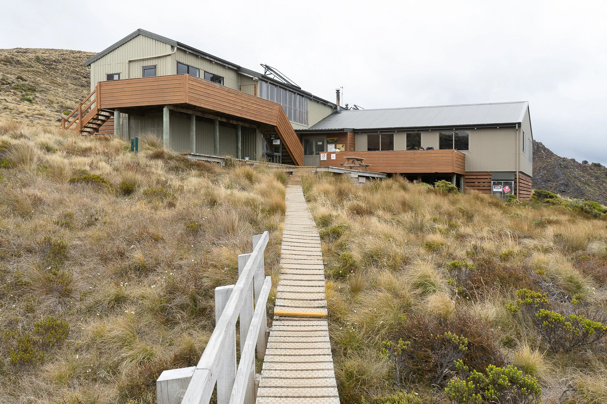
Luxmore Hut above the treeline and surrounded by long tussock, the grassy clumps found in higher elevations of New Zealand. There were also Kea parrots that were attracted to hanging around the hut.
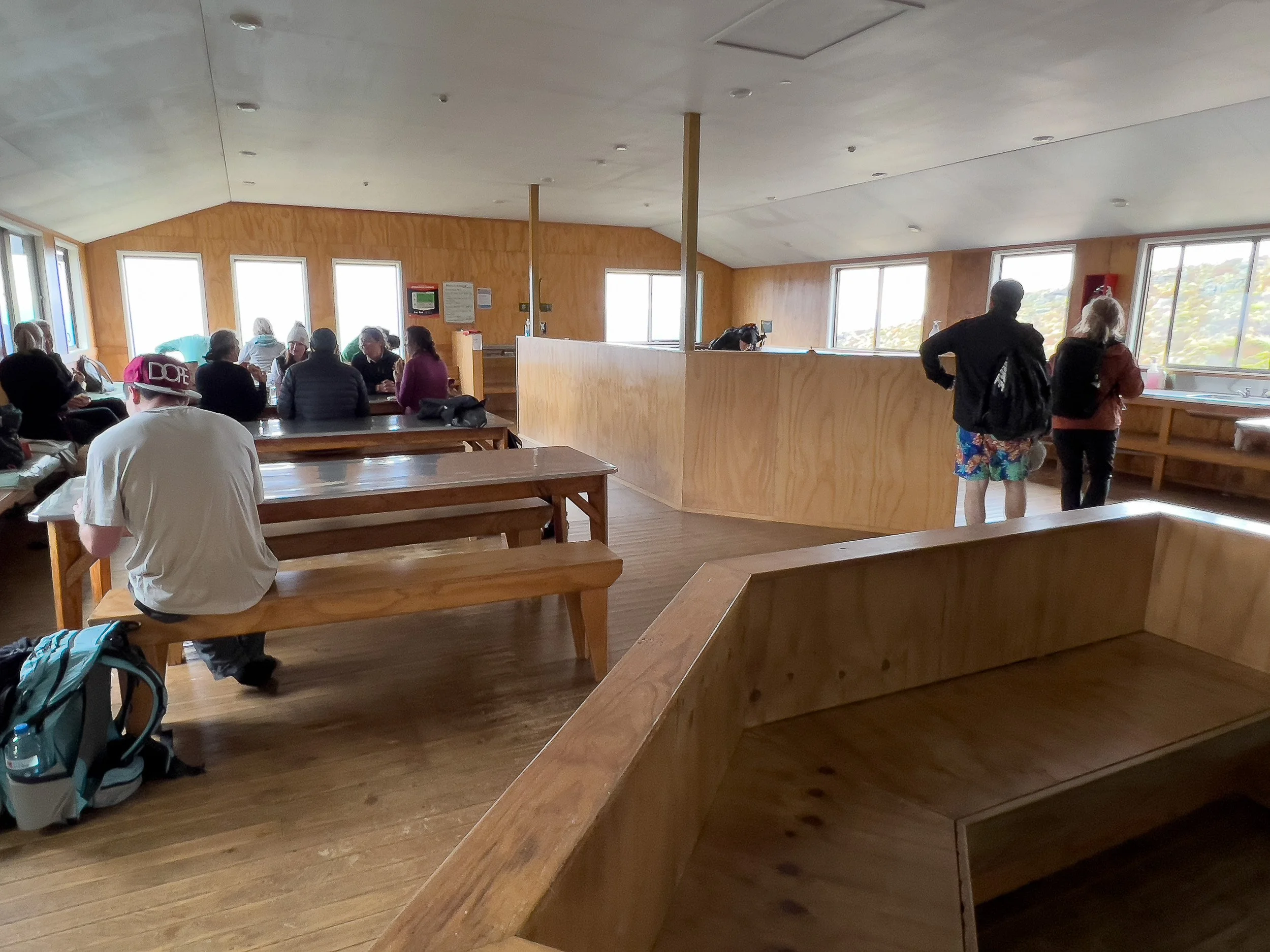

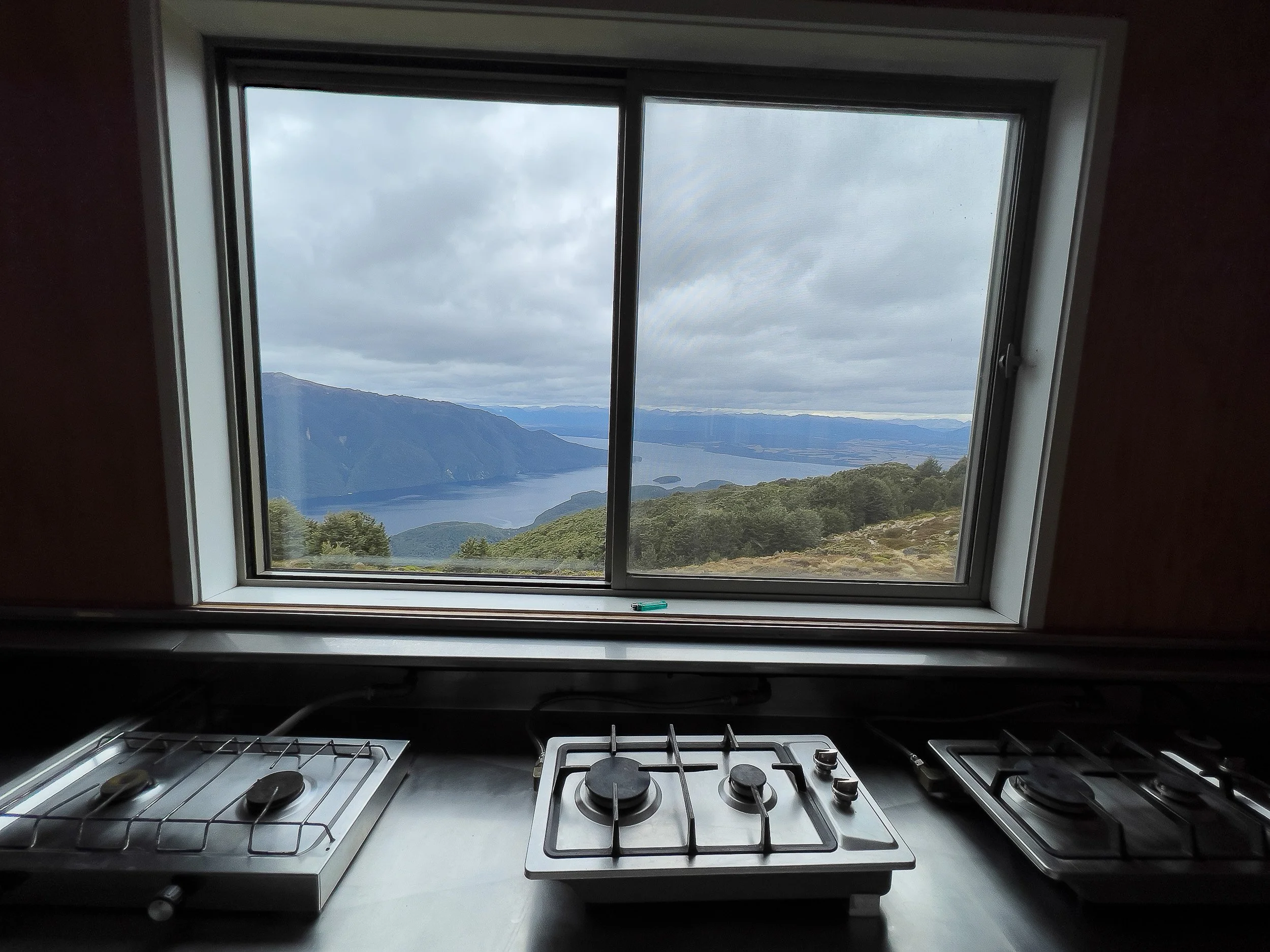
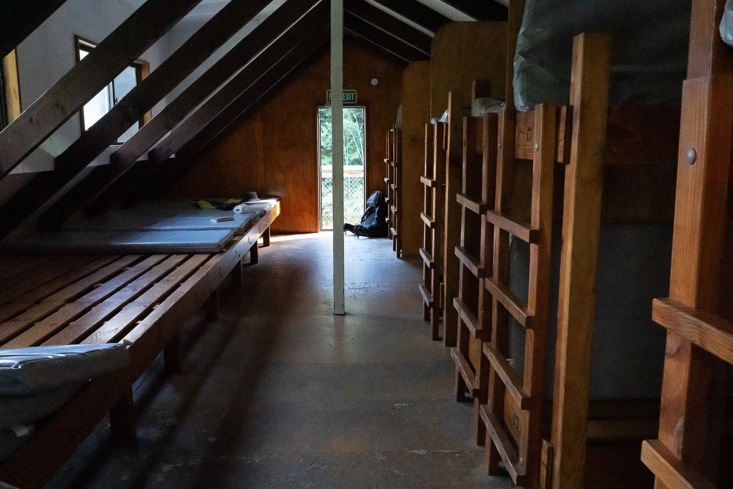
Interior views of Luxmore. Left, the dining area. Right, the sleeping quarters with bunk beds. Middle, gas stoves for preparing meals that included a view.
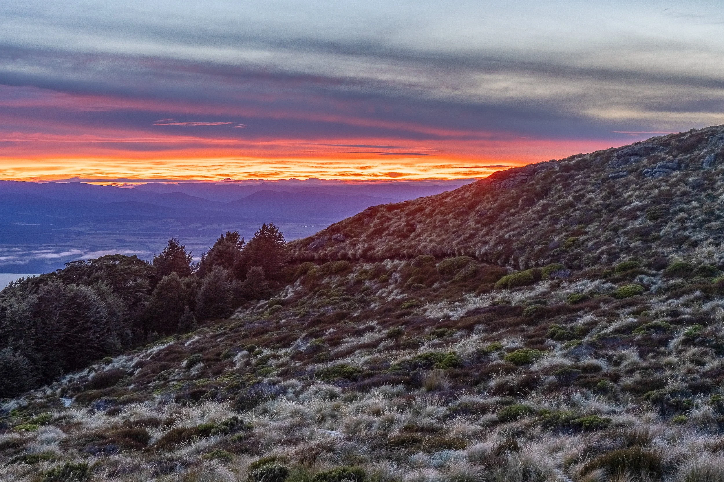
Despite the cloudy late day view out the window, the sunset at Luxmore turned out to be a very vibrant red.

Leaving Luxmore (out of view and to the left) the next morning and looking back, the trail taken the previous is barely visible in the middle of the photo. The tussock takes over above the tree line.
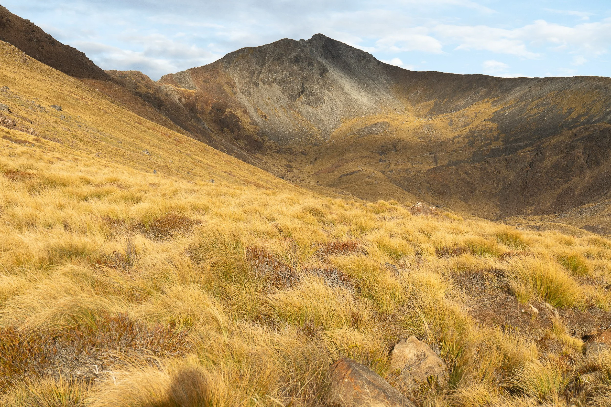
Mt. Luxmore ahead, surrounded by tussock heading toward Iris Burn, the next hut.
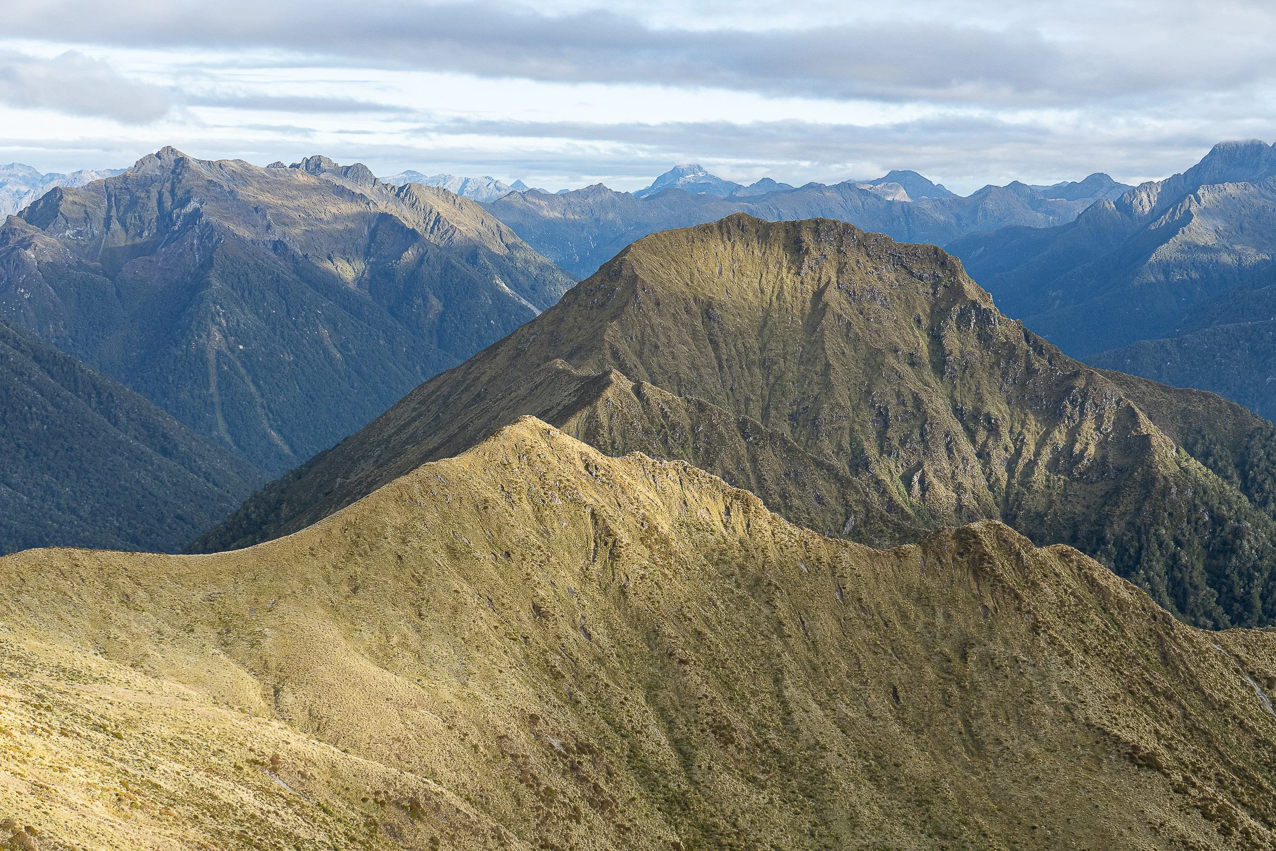
Views along the trail toward Iris Burn.
More views on the right side of the trail to Iris Burn.
Short video from the trail.
As I walk, you can hear the creaking sound of my shoelaces rubbing against the outer leather of relatively new hiking boots.
This short clip shows a set of steps from the high mountain ridge on the way down to Iris Burn in the valley below. And the creaking sound of my boots continue on.
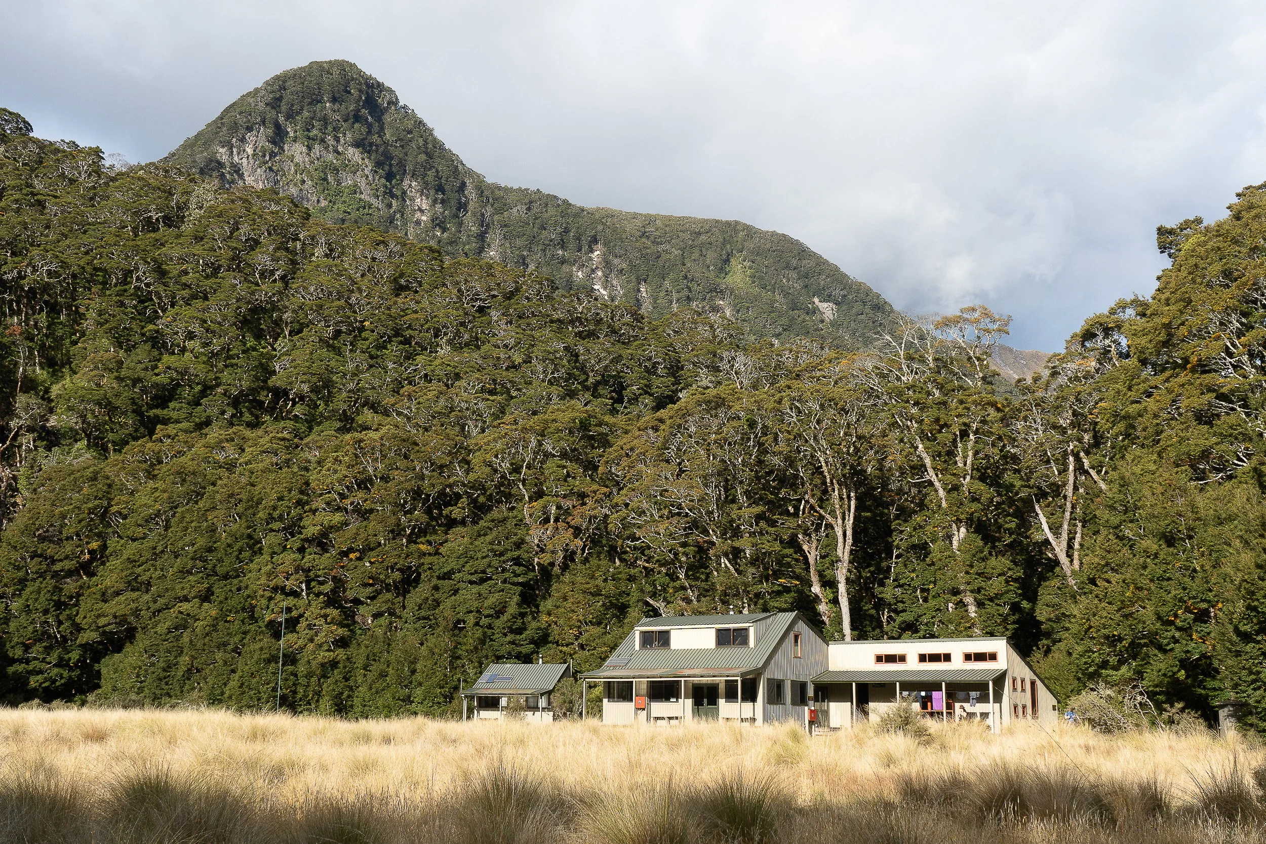
Iris Burn Hut. When planning this hike, I assumed that April, being a Fall month in New Zealand, would mean not needing to worry about sand flies. But that was a very wrong assumption. When I arrived at the hut, in the short amount of time it took just to take off my boots before entering, I had many bites from hungry sand flies. Their bites were quite itchy and took time to go away.
Burn is the name for stream or small river. The nearness of the hut to Iris Burn is a contributing reason for the abundance of sand flies.
The warden invited interested visitors to go out at night around 10pm for a possible sighting of the elusive, nocturnal and flightless Kiwi, New Zealand’s national bird. I was too tired so I did not participate. If you did go out, you were required to use the red light on your torch/headlamp or use a red filter (available at the hut) over a regular light. Red light was required to avoid ruining the bird’s night vision during its primary feeding time. At breakfast the following morning, the warden shared photos of the Kiwi they spotted the previous evening.
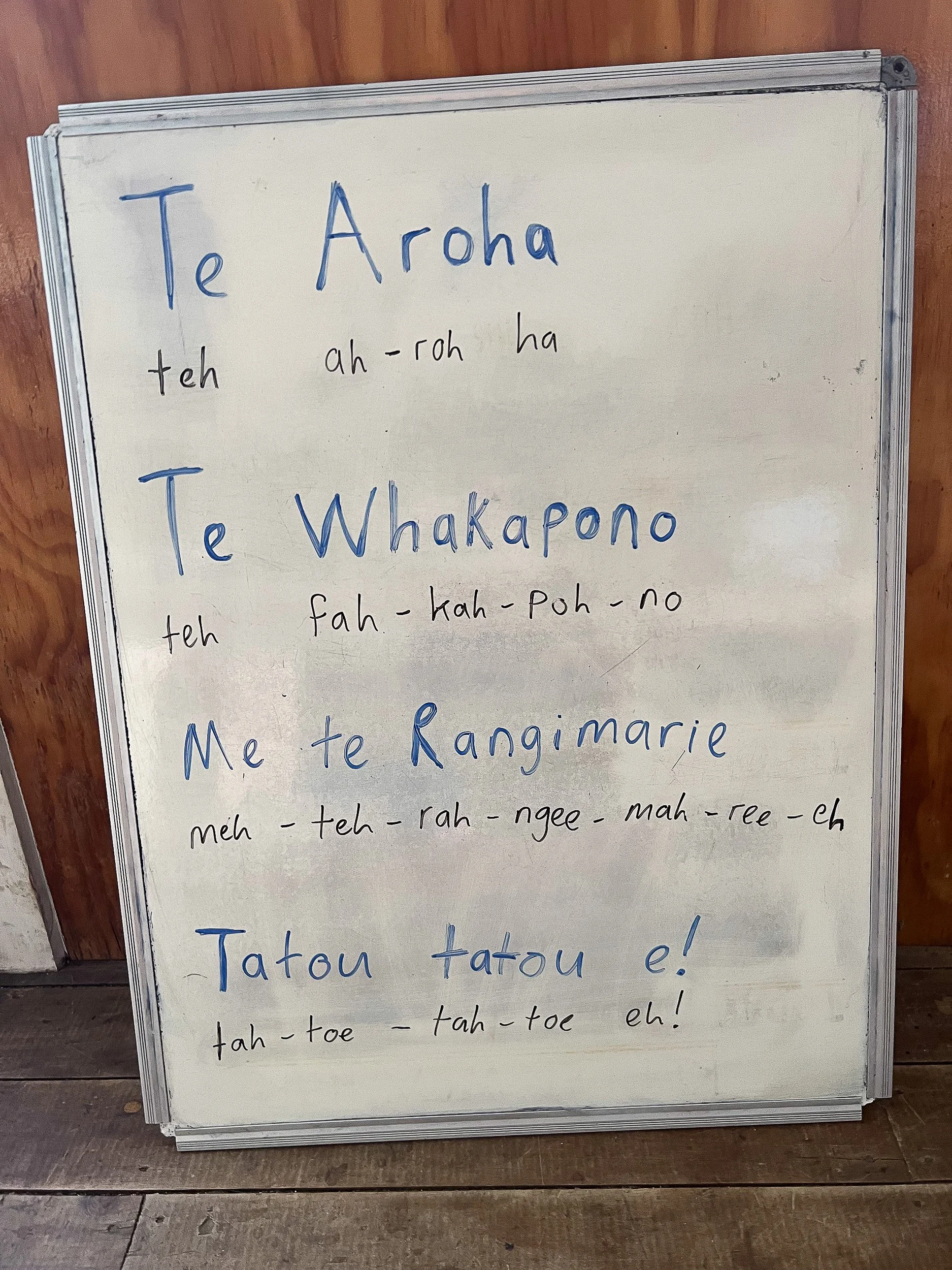
This is a Maori song that the wardens at both Luxmore and Iris Burn invited us to sing together around evening meal time. The words mean Love, Hope, and Peace for all of us.
After breakfast, it’s off to the next day’s destination, Maturau Hut.
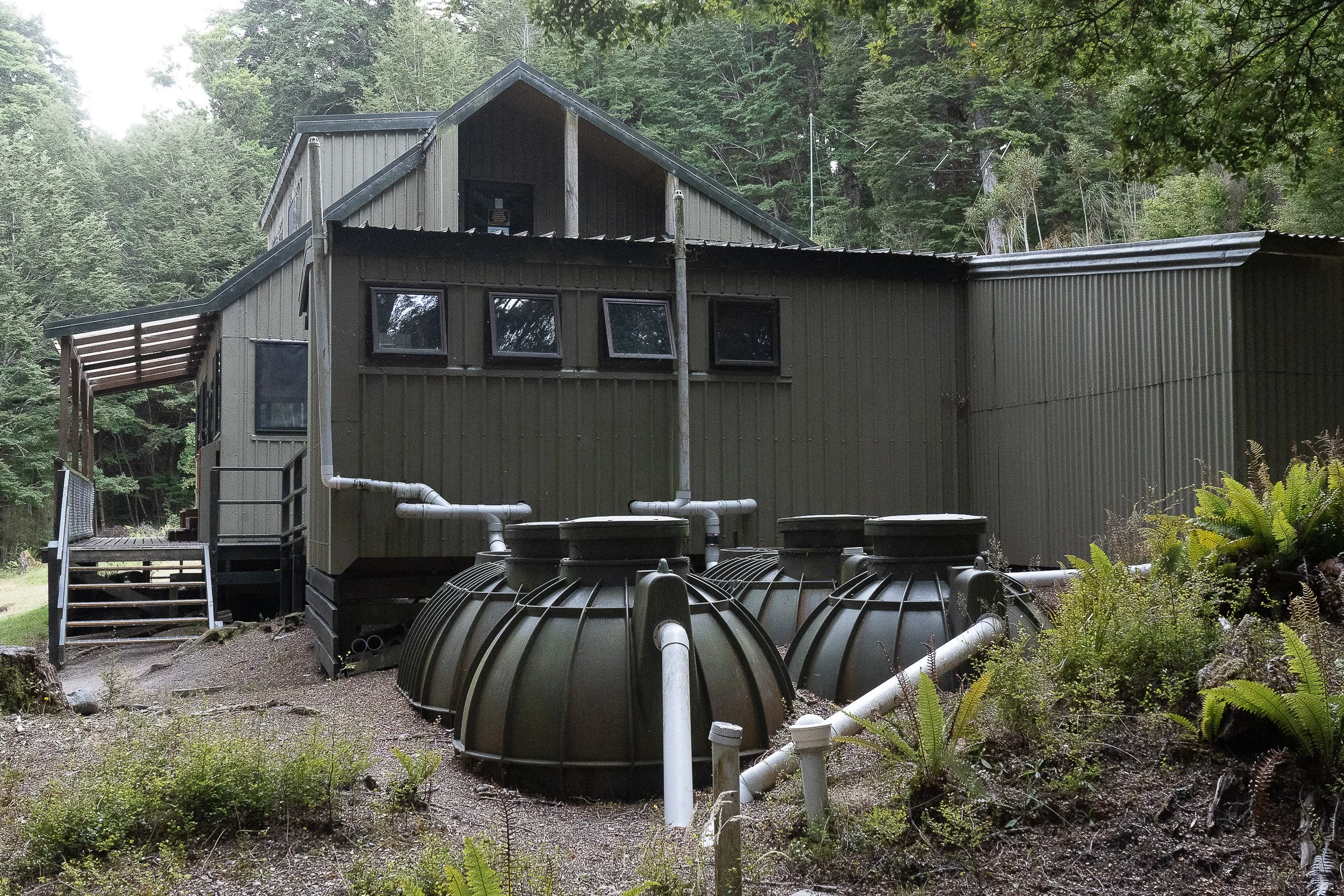
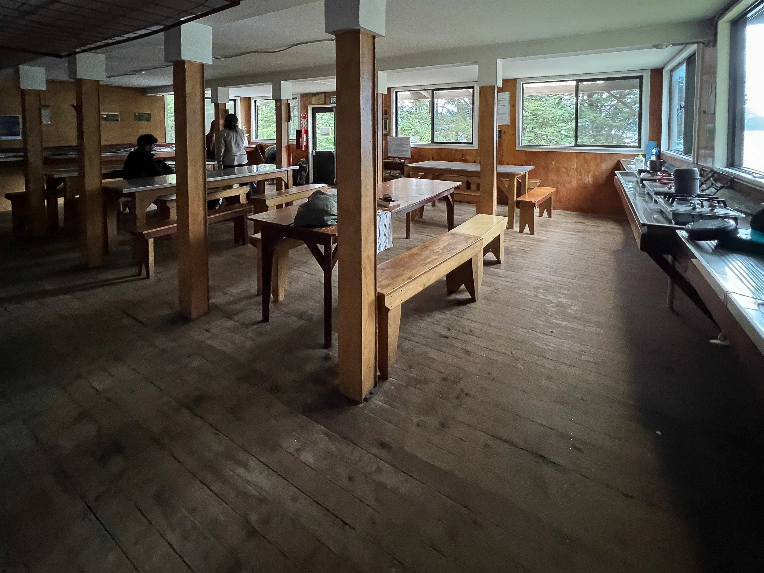

Maturau Hut. Left, the exterior view with human waste processing equipment situated next to the hut. Right, the interior view of the dining facilities. Bottom, the area in front of the hut looking out onto Lake Manapouri. Overcast and chilly that day, there were no sand flies. I did go for a brief (very brief!) dip in the lake to wash off days of accumulated sweat. Others took advantage of a fire pit on the beach to have a fire.
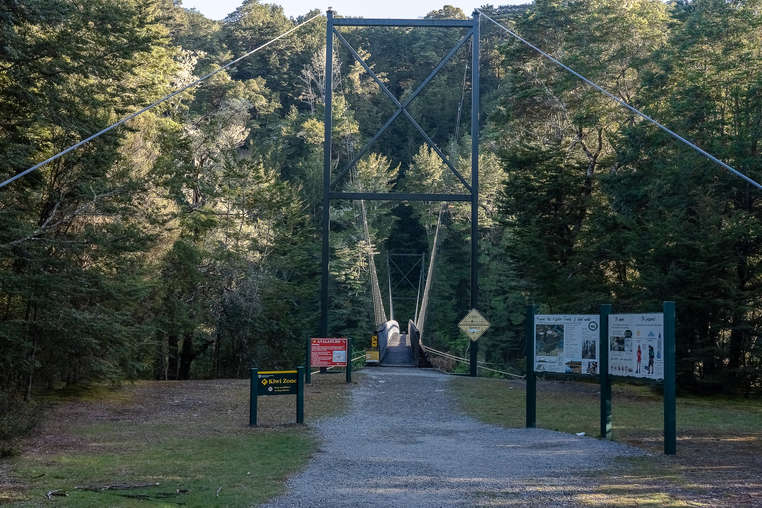
The destination I was looking for! The Rainbow Bridge (over the Waiau River) is where I chose to end the trail. (You can chose to walk further.) It is here that I got a bus back to Te Anau and then another bus to Queenstown. There, I collected my backpack and stayed the night before flying to Taupo on the North Island in hopes of hiking in the Tongariro Crossing before my scheduled flight back to New York.
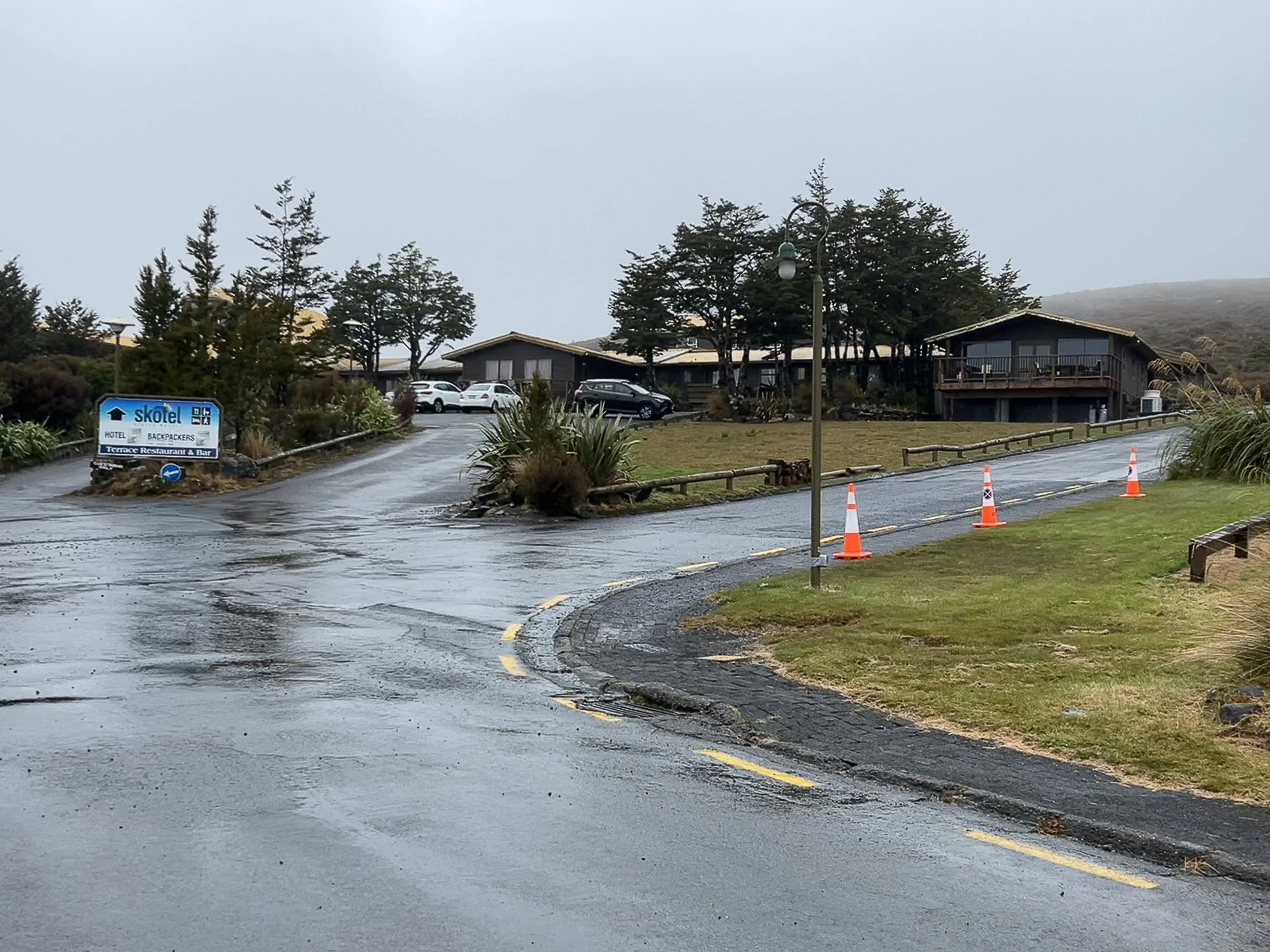

Skotel Alpine Resort in the Tongariro Park. Entrance on the left. As you can see, it was raining when I arrived and it continued to rain during my stay. My single room on the right.
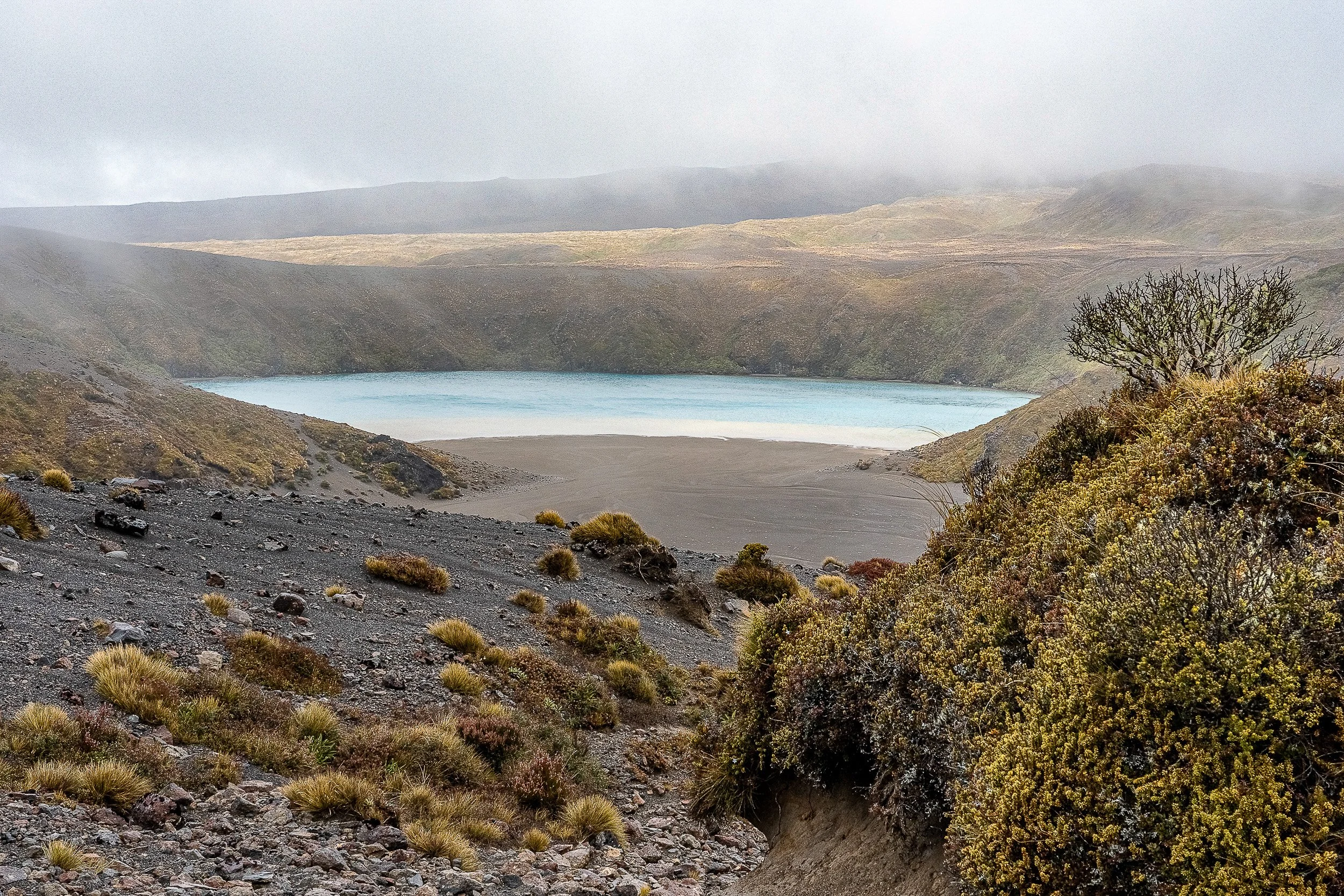
Weather conditions worsened after I arrived at the Skotel Resort. The Crossing was closed due to high wind, constant rain and low visibility. An alternative was to hike to upper and lower Tama Lakes. The next morning I set out for the lakes but the driving rain made everything wet that I was carrying with me— pack and clothes. I saw a sign for the lower lake but there was nothing to see but fog. I continued on up a hill toward the upper lake but conditions became too dicey due to very low visibility and high wind. I turned around and on the way back toward the lower lake, there was about 5 minutes or less when the clouds briefly parted allowing me to take this photo. And that’s it. On the way back to Skotel, I decided to try the Taranaki Falls loop train of hopes in seeing the Taranaki waterfall.
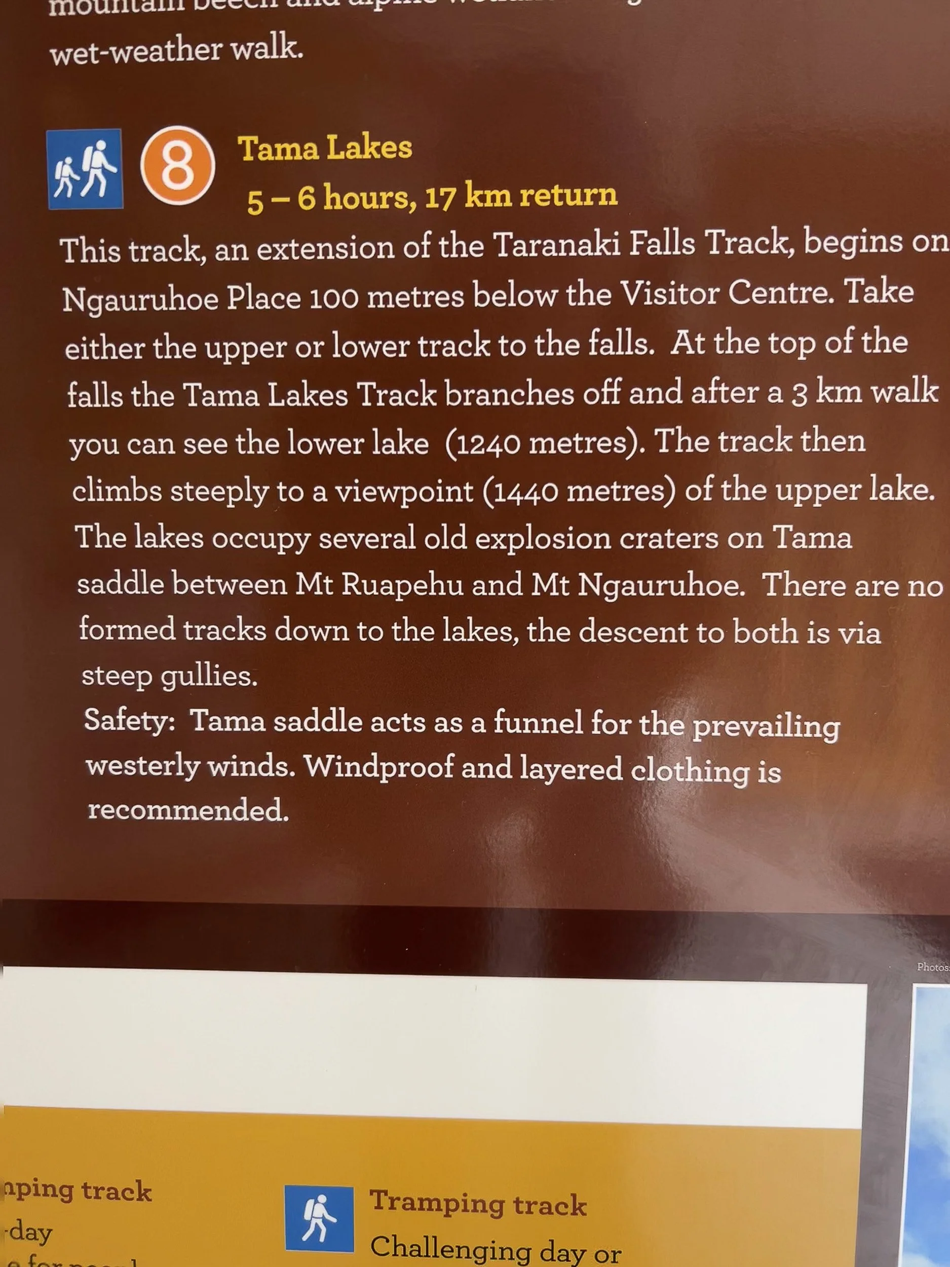
I was definitely feeling the wind funnel described above on the day of my hike.
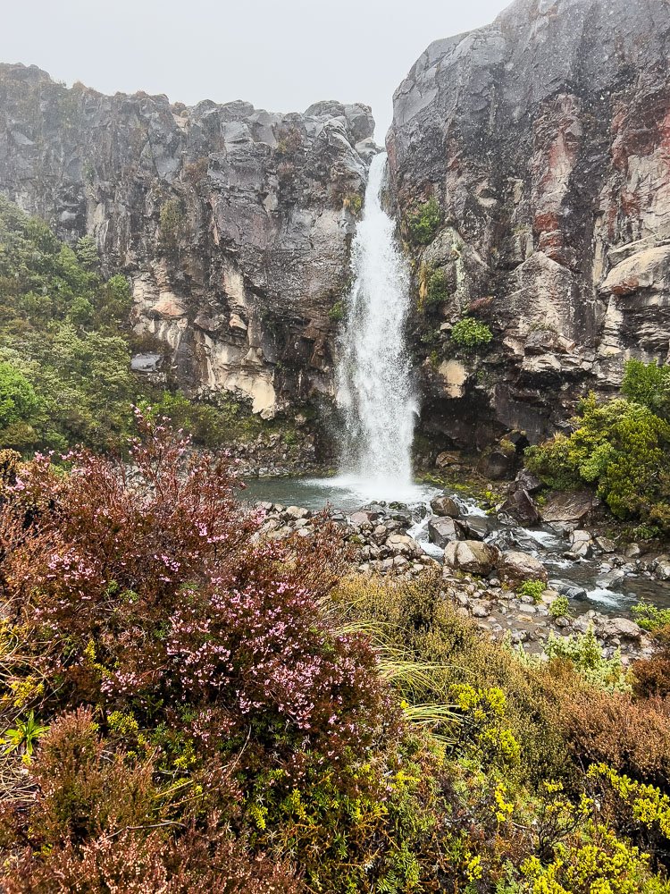
Taranaki Falls
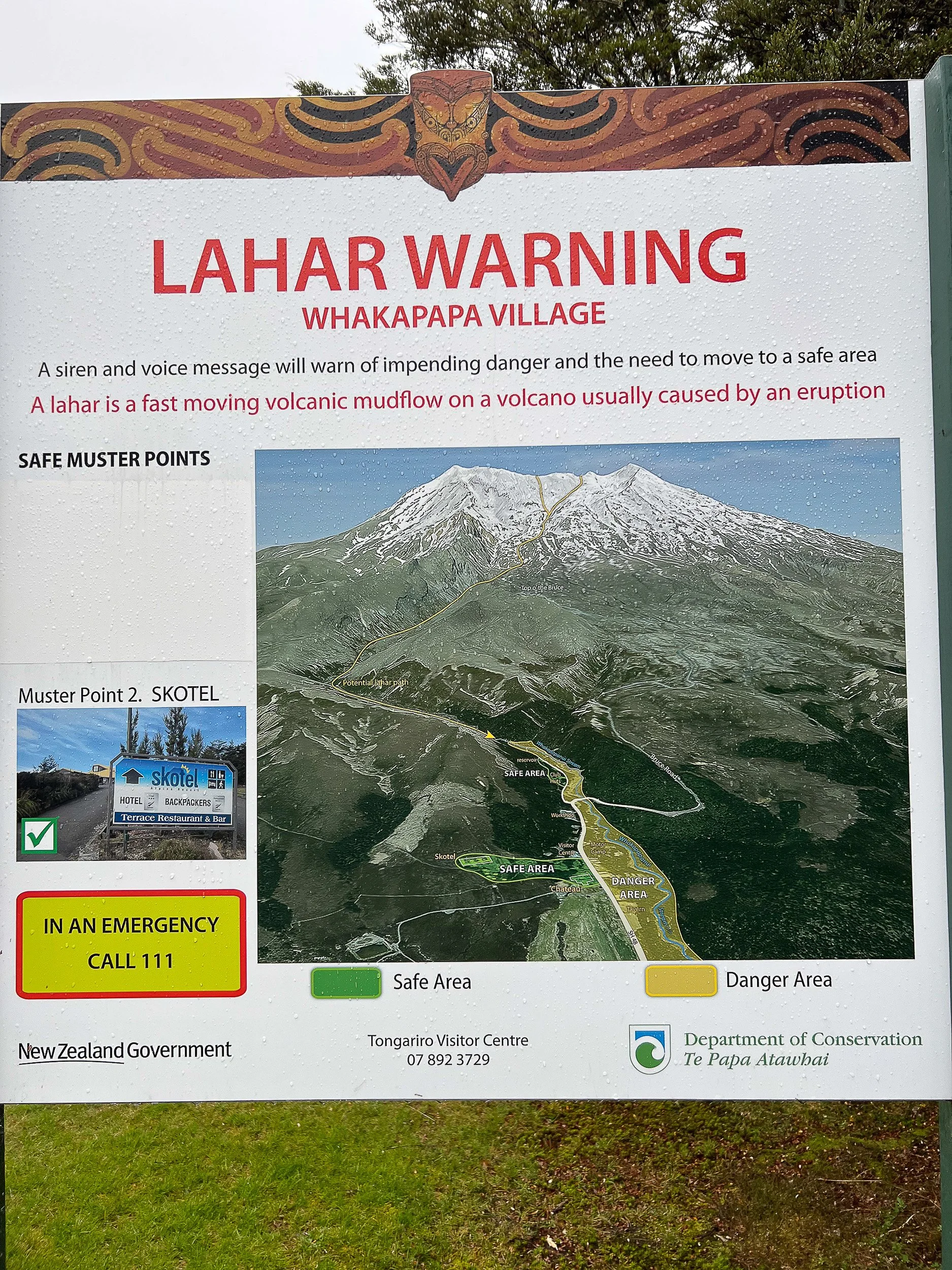
This ominous sign was posted near Skotel. The pathway for volcanic mudflows (a lahar) was located nearby.

At the airport, I noted the Maori designs incorporated into the employee apparel of Air New Zealand.
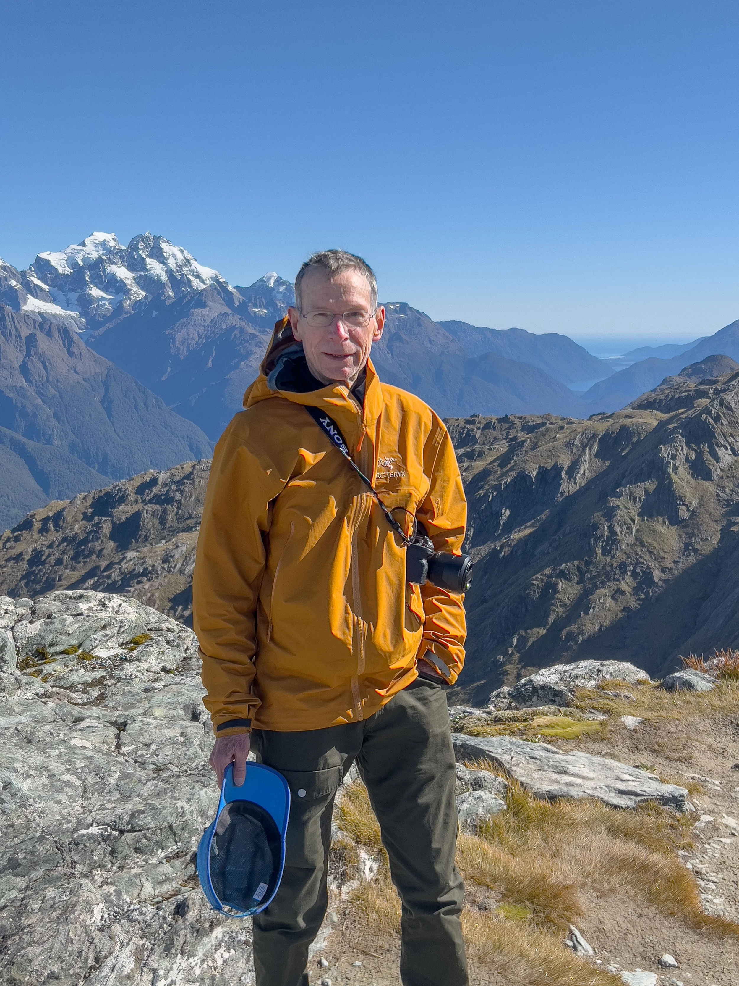
This is me atop Canonical Hill on the Routeburn Track. This was taken in April 2024, just before I turned 73.