Tour du Mont Blanc September 2025
I did the TMB differently than the normal counterclockwise sequence. Because I arrived in Chamonix a day in advance, I took the local Chamonix Sud (red line bus) to my hotel in Les Houches where I dumped my gear, returned by bus to the Chamonix bus “station” (no building,. just stops) and walked from there to the Téléphérique du Brévent. I decided to take the cable car up and complete the last stage of the TMB down to Les Houches in the remaining hours of the day because the telepherique would no longer be running in late September when I would otherwise reach this section at the end of my TMB tour.
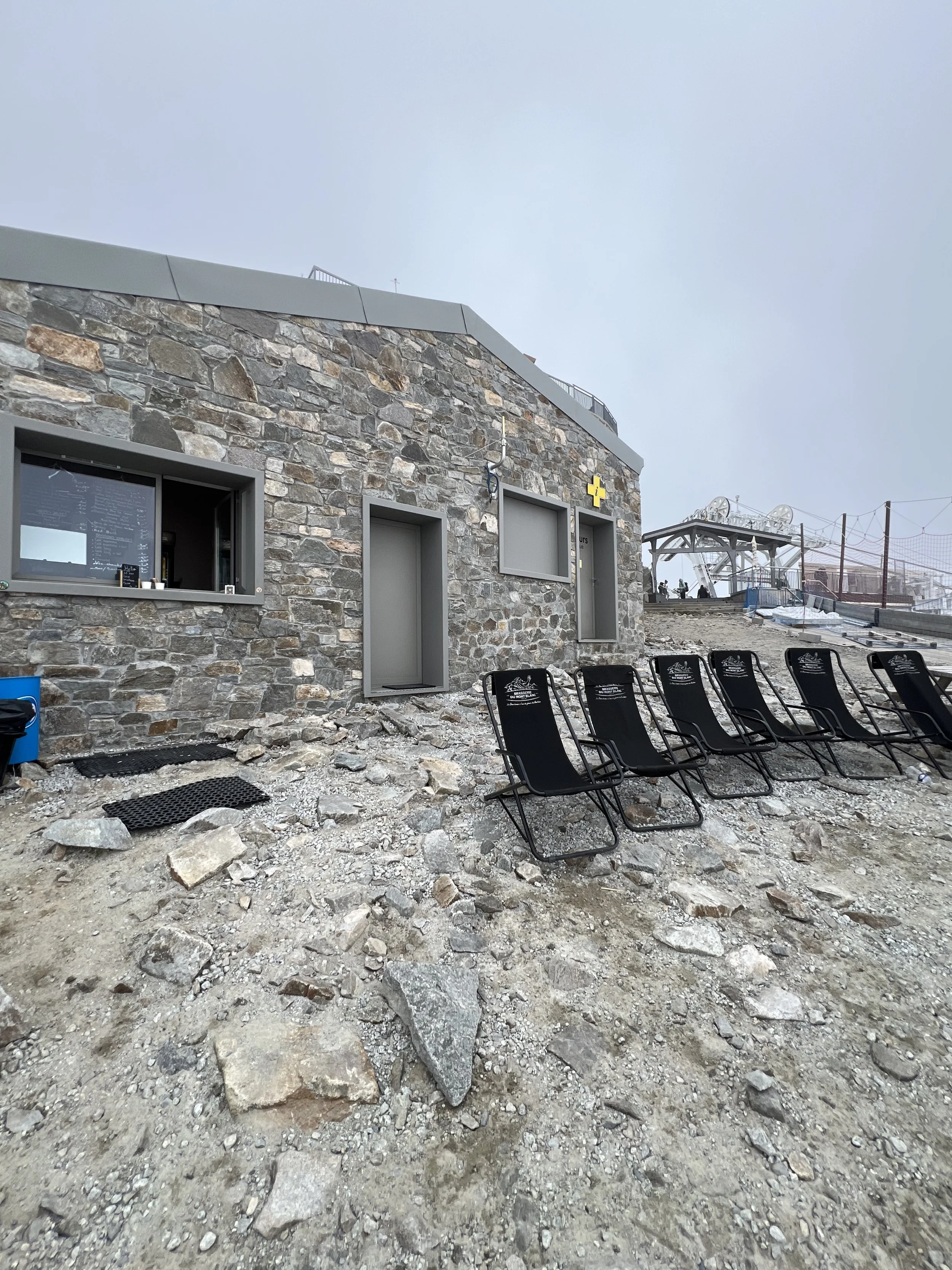
The top of Brevent telepherique — not very developed. as you can see. The open window on the building is a snack shop where I got a fromage/cheese crepe (which was quite good) before walking the trail down to Les Houches.
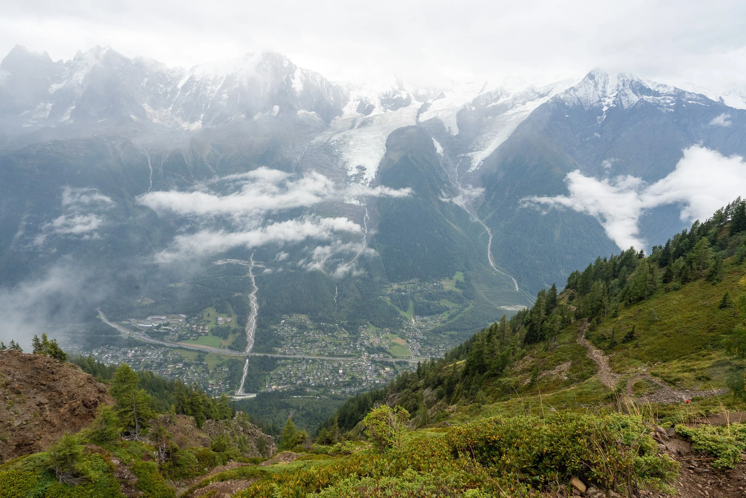
The view of the Chamonix area coming down from the Brevent telepherique high point.
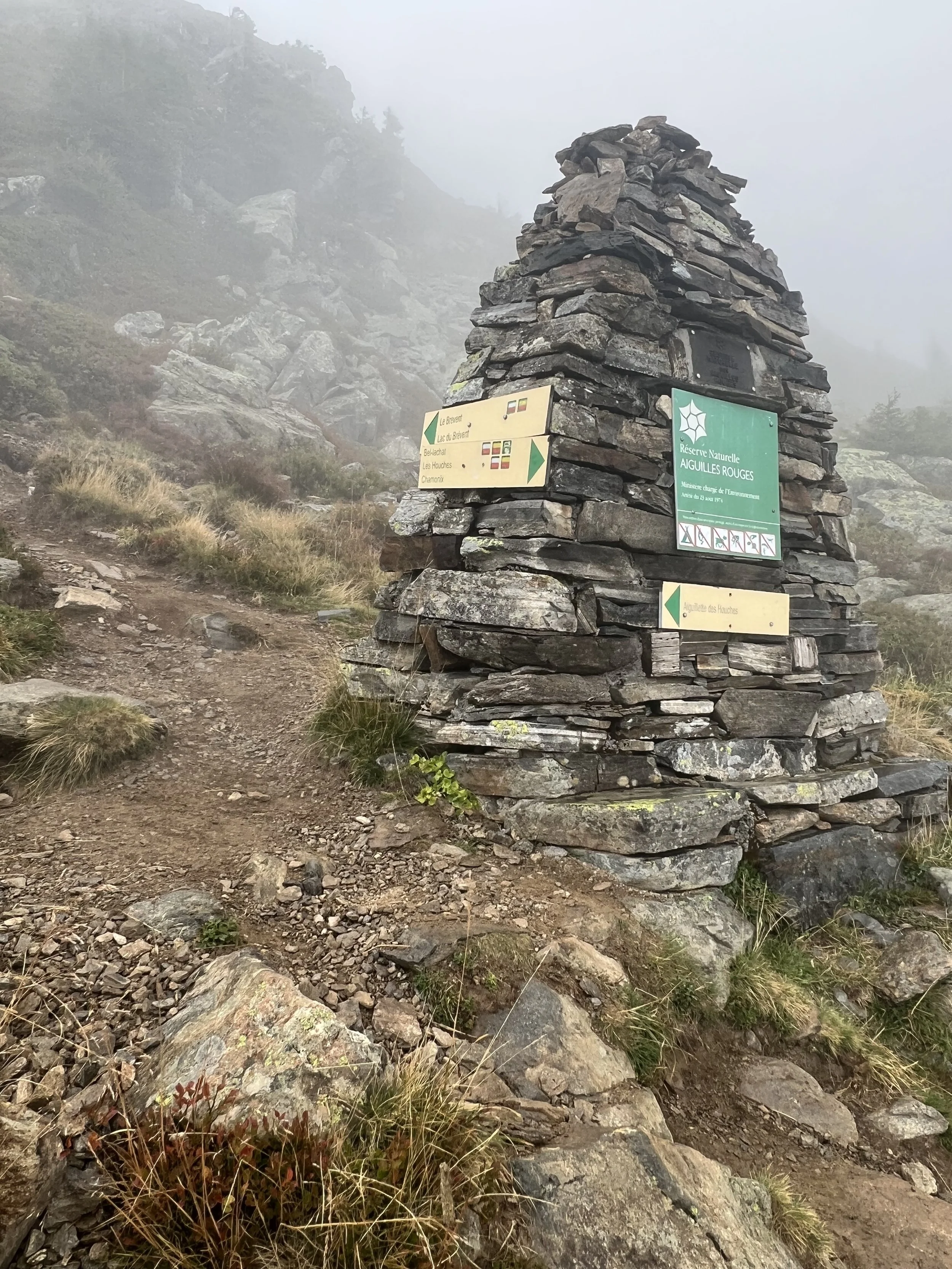
Marker for boundary of the Aiguilles Nature Preserve

Refuge Bellachat
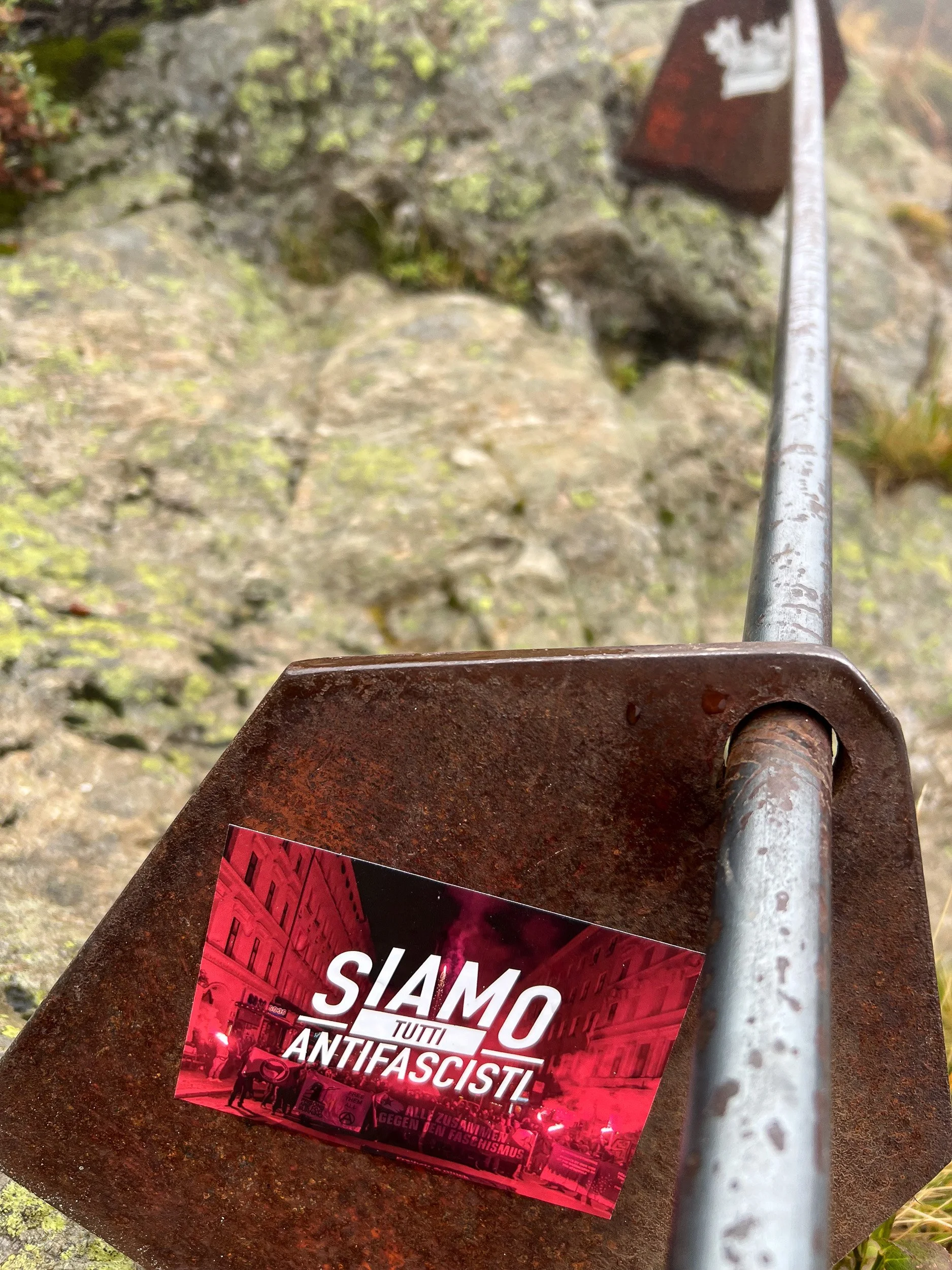
Someone who seems to have had enough time on their hands while climbing the iron laddders pasted an Italian antifascist sticker on one of the iron plates holding the hand assist rods.
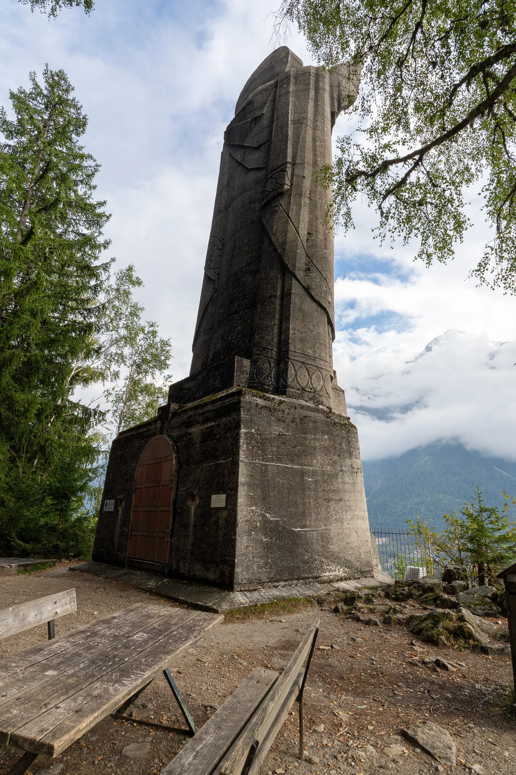
On the way down from Brevent, I passed by the Christ-the-King Statue, viewed here from the back side. Erected in 1934, it’s 25 meters high and overlooks the valley below.
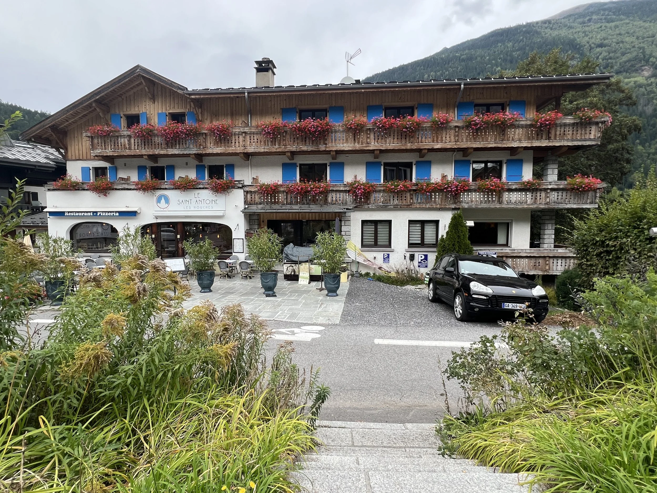
My first hotel on the TMB: Hotel Saint Antoine, Les Houches
The day after my early arrival was designated as my official arrival day, which was still another day that I could use to do a hike. So with that in mind, I decided to walk the next-to-last stage of the TMB. This one was from Tre la Champ up to Lac Blanc and down to Chamonix, but there were several options for getting down to Chamonix. I chose the option to walk in a diagonal direction from Lac Blanc down to Chamonix and not take the cable car option, which would have meant walking to Planpranz (and riding down to Chamonix). I thought that would have been too far for me to walk in time to make the last car, so I opted for the diagonal trail from Lac Blanc down to Chamonix. By doing this hike, I would complete the last two stages of the TMB before my official start. I also did it because I needed to return to New York earlier than what the TMB itinerary called for. (I had taken over a pre-existing itinerary from someone who had to cancel their trip, so all the accommodations were already confirmed and the itinerary preset.)
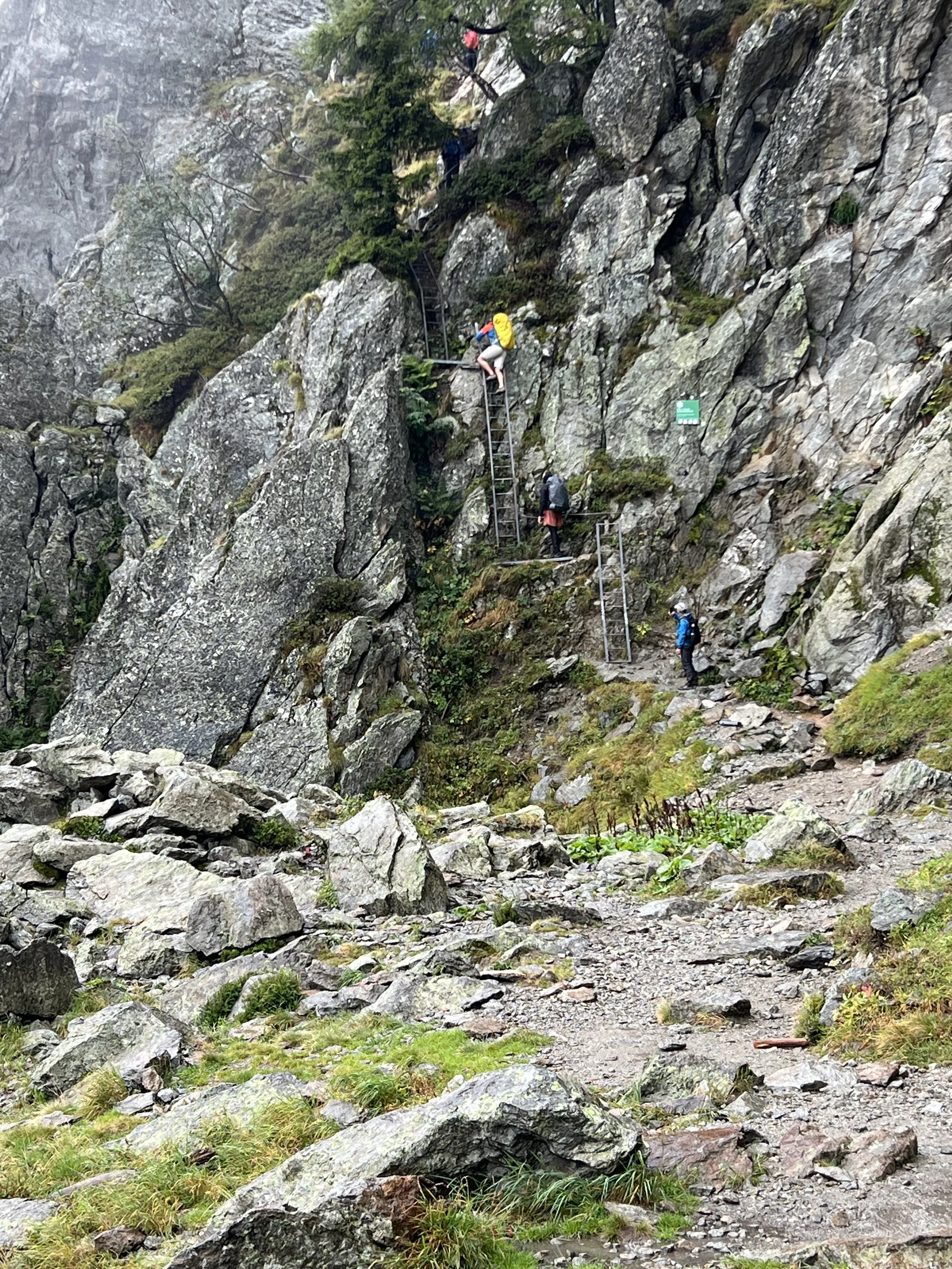
After getting the bus from Chamonix to the Argentiere area to begin the hike, it started to rain. I changed into rain gear as I began the walk to Lac Blanc. Luckily the rain lifted by the time I reached the ladder section of the trail which involves climbing a series of roughly nine iron ladders that are bolted into rock. The ladders can be intimidating as many are vertical and a fall could be serious or worse. But staying focused on the job of getting up each ladder to the next one minimizes the intimidation factor. The ladders can also be a bottleneck depending on the number of people on the trail.
View after the rain lifted and past the initial set of ladders looking down to where the hike started.
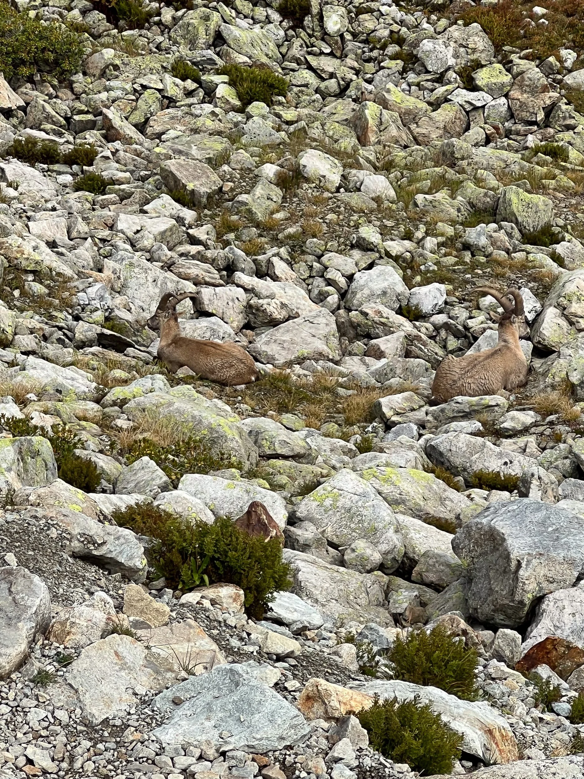
Two Ibex goats near Lac Blanc
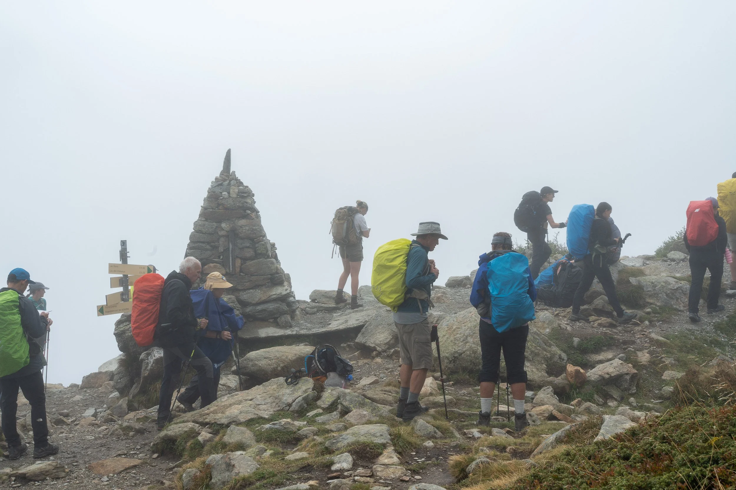
A trail intersection after finishing the ladders was a place to take a brief rest and regroup.
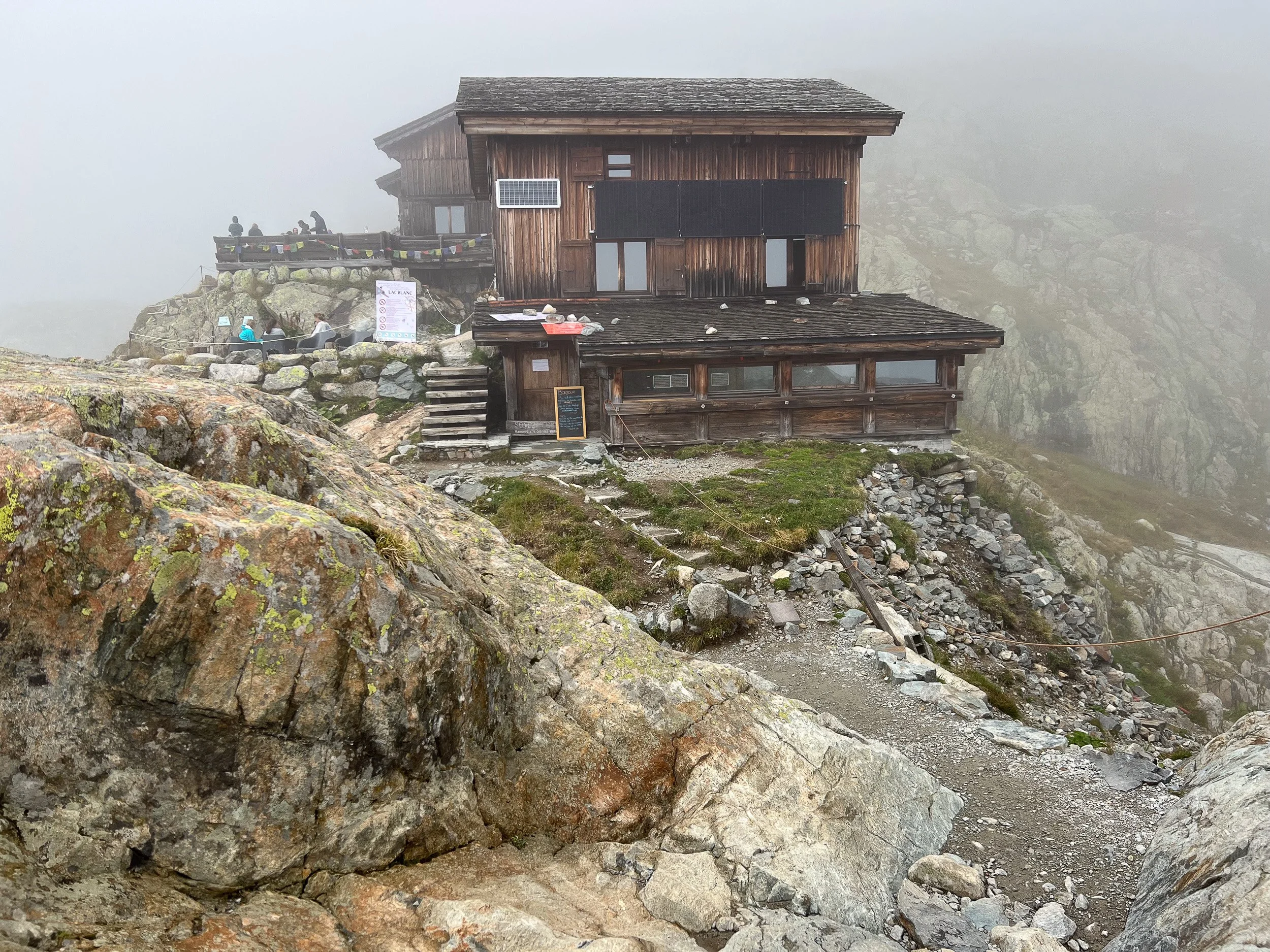
Finally! The Refuge Lac Blanc. Time for lunch.
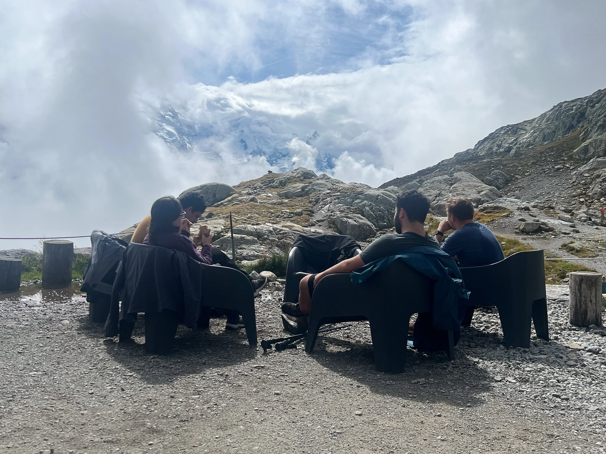
Not much sun, but no rain. We’ll take it.

Obscured views, but the clouds were lifting.

Starting the descent down from Lac Blanc

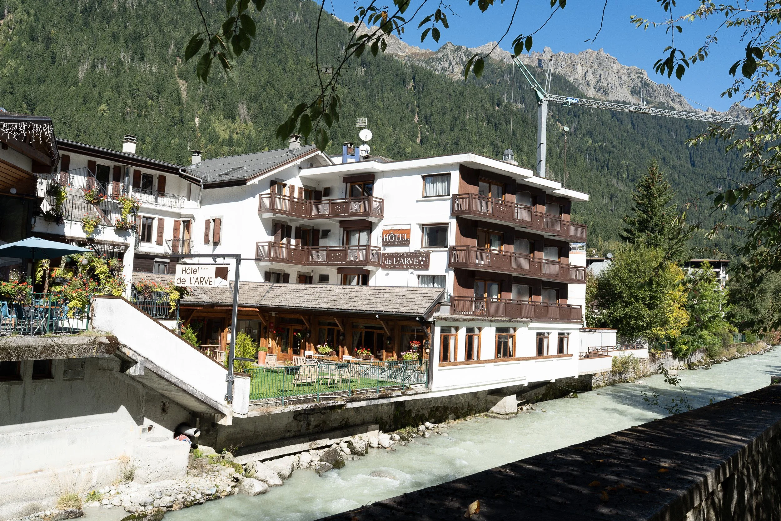
Hotel de L’arve, Chamonix

Bypassing the La Flegere chair lift on the way down. I had the best brownie there—thick and chewy with lots of nuts. A great afternoon treat to have with tea on a long hike.


Chalet de la Floria. Closed when I passed by. A sign announcing its presence for those hiking uphill.

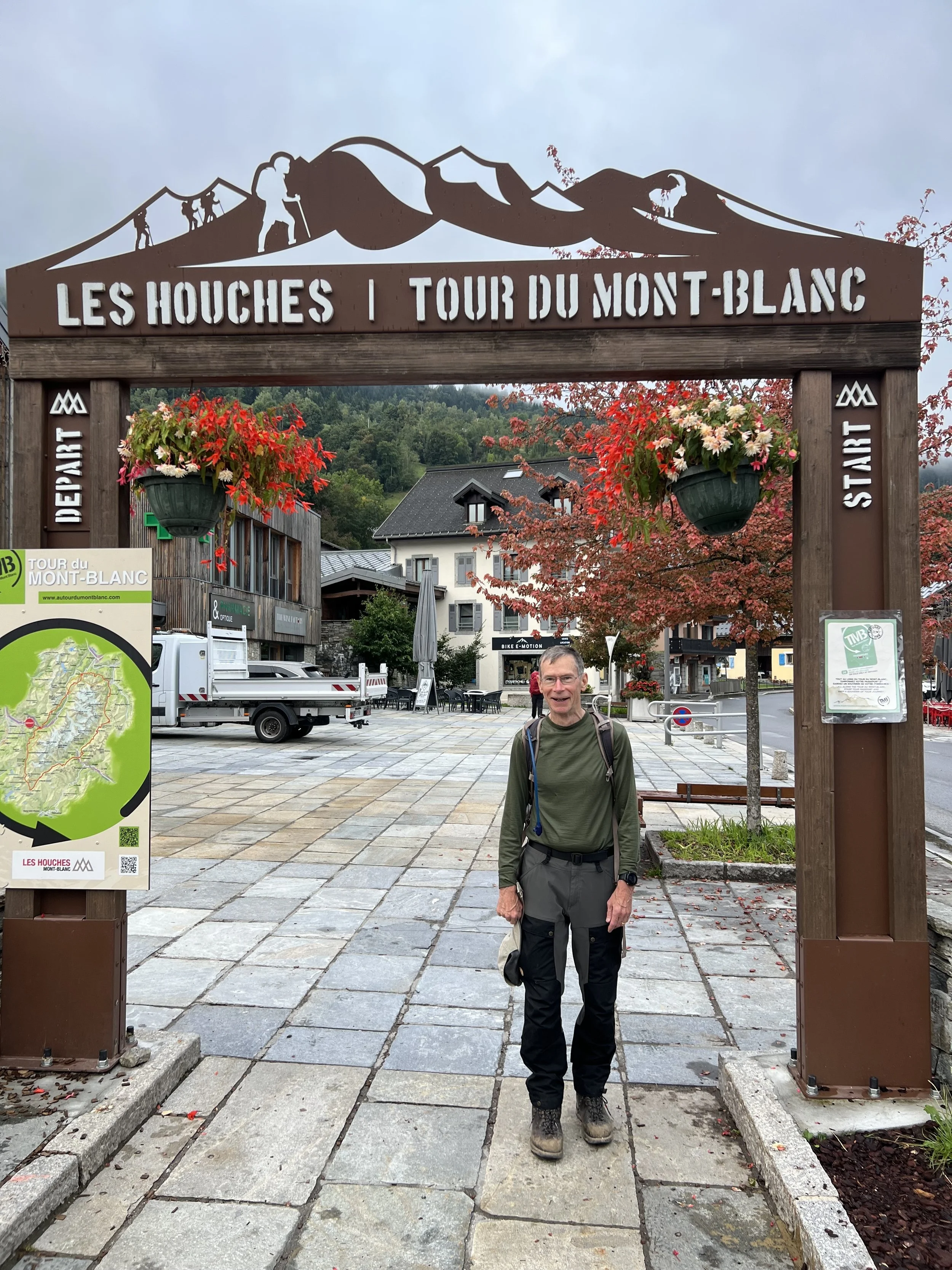
This trail sign greeted me and others the next morning after getting off the Bellevue Gondola ride that starts the TMB. While this was the official start of my TMB , I had already completed the last two stages the previous two days. Instead of taking the gondola, some choose to walk up from Les Houches to start the hike , but I was quite content to follow the recommendation from the tour organizer (Macs Adventures) to take the gondola.
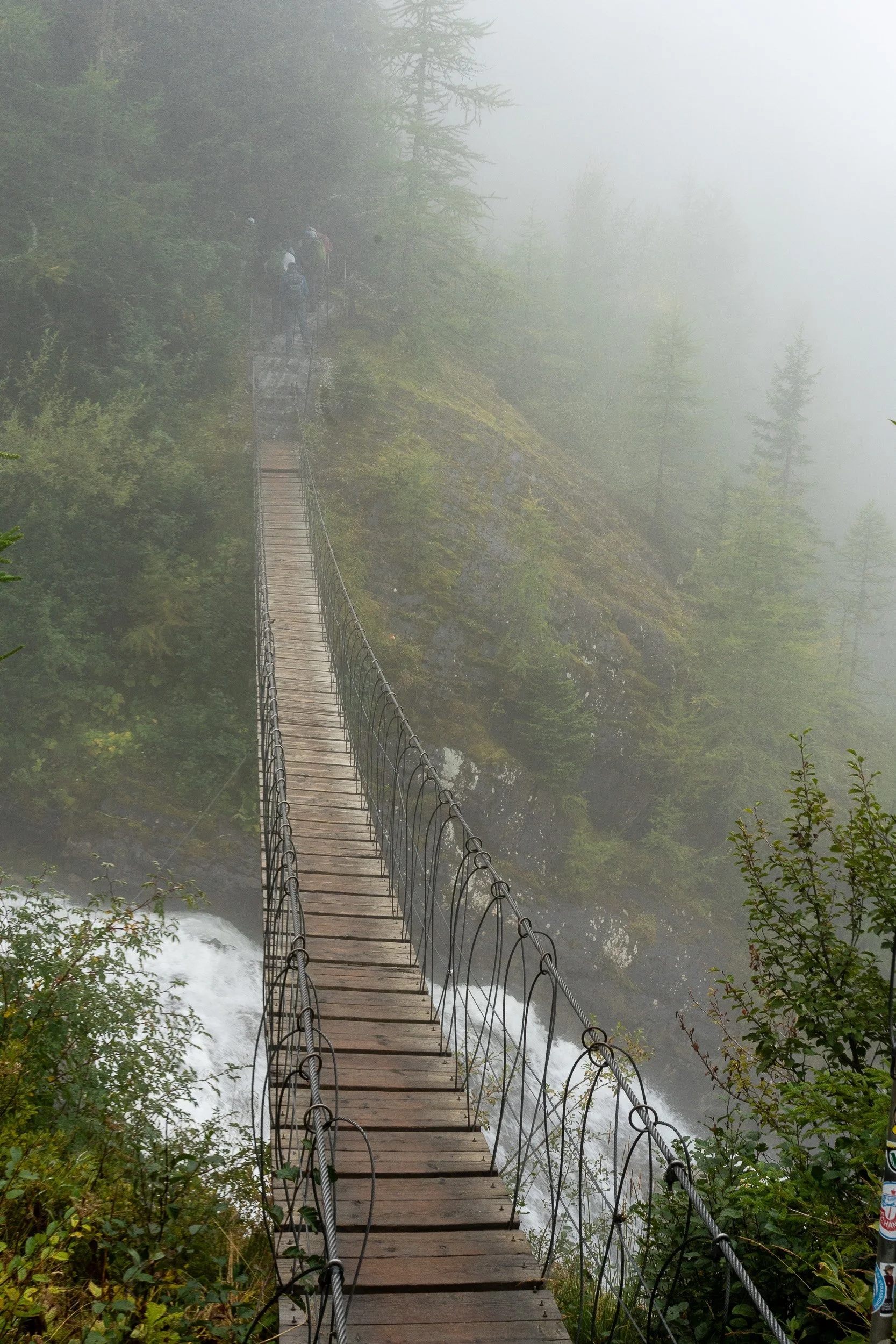
Suspension bridge over a waterfall not far into the day’s walk.

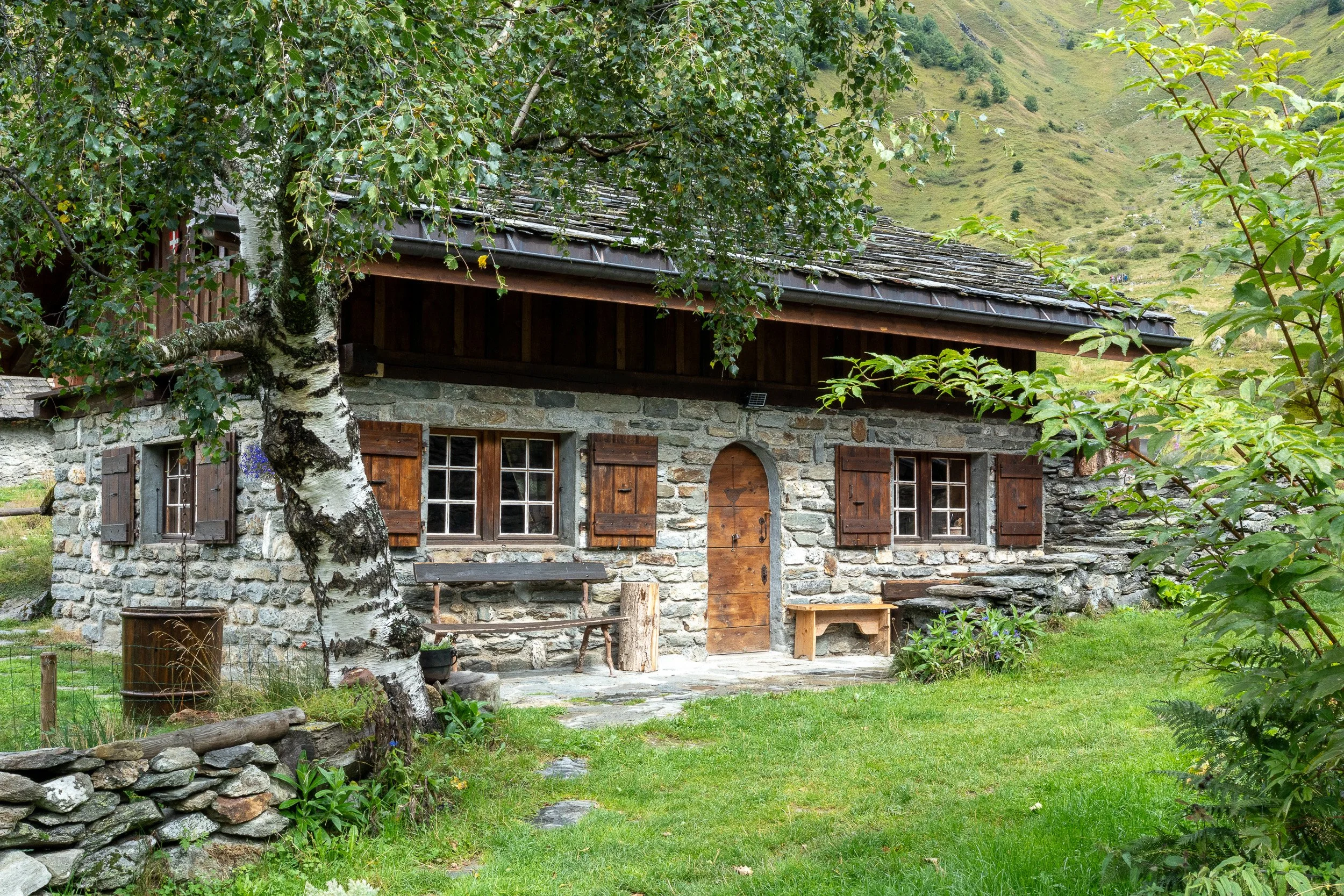
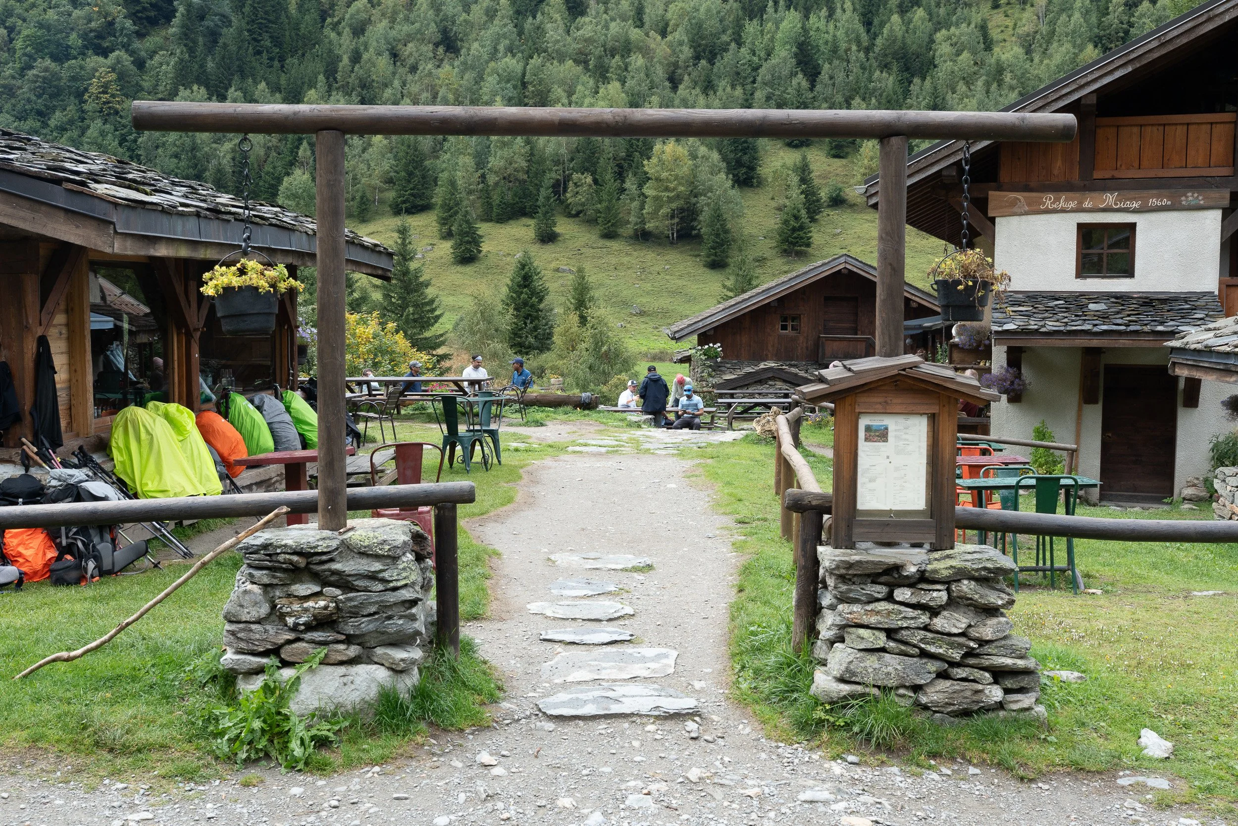
Sturdy, well designed looking buildings at Refuge Miage, reached after crossing over Col de Tricot. A lovely spot for lunch. I brought my own sandwich, not knowing what to expect but lunch is available at Miage. Col de Tricot is in the video.
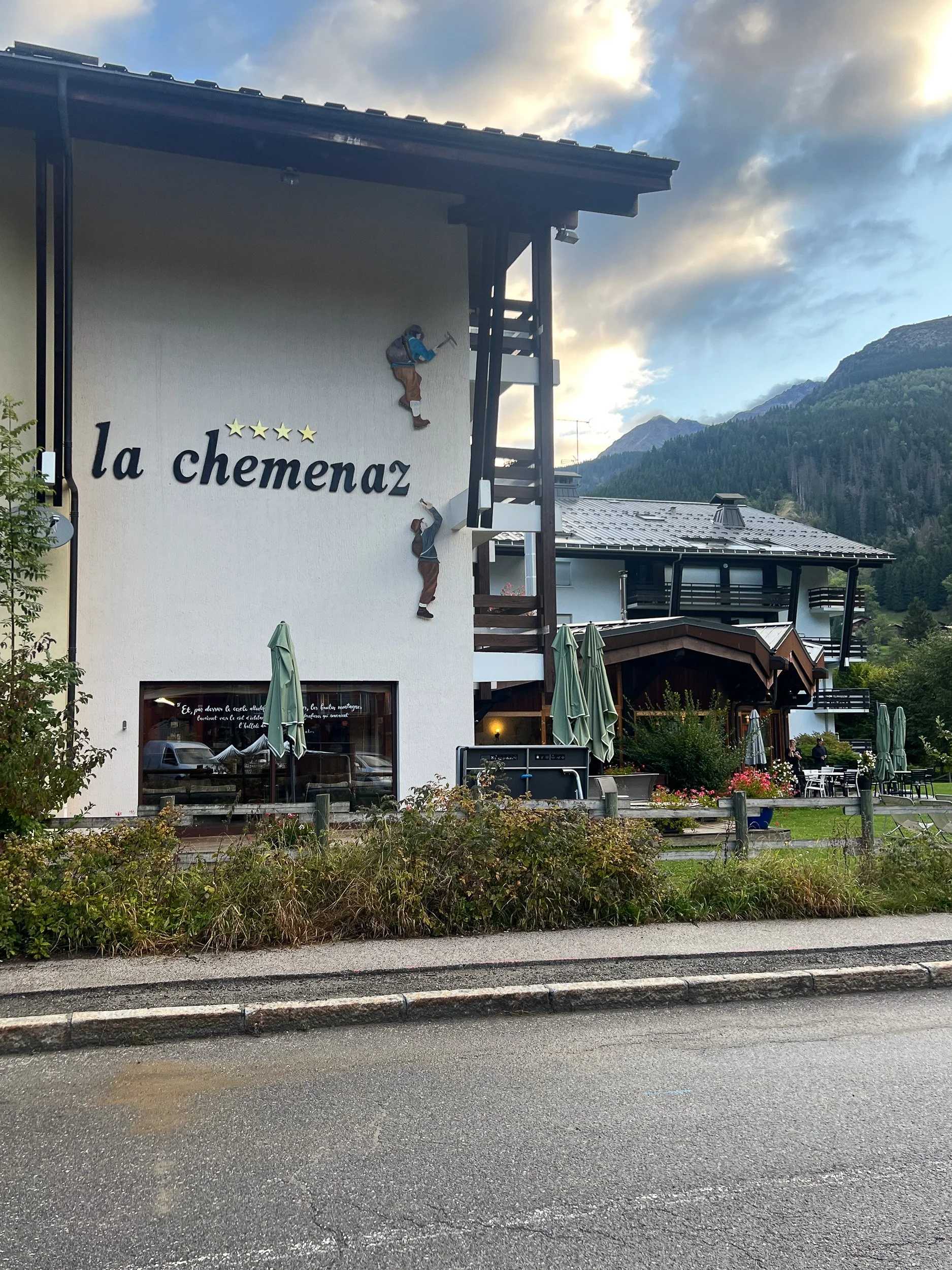
Hotel La Chemenaz in les Contamines
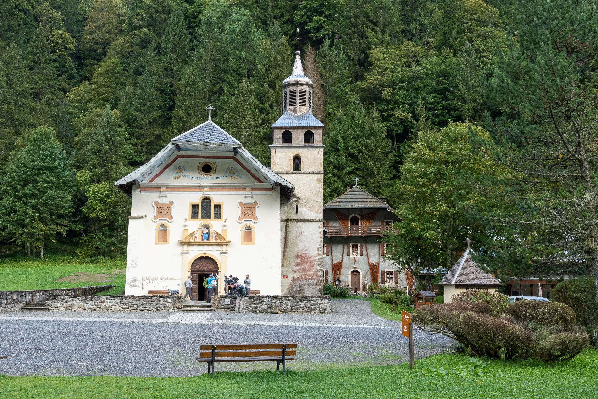
After a night’s rest in les Contamines, the start of the next day’s hike passes the chapel of Notre Dame de la Gorge and walking over a Roman-era bridge.

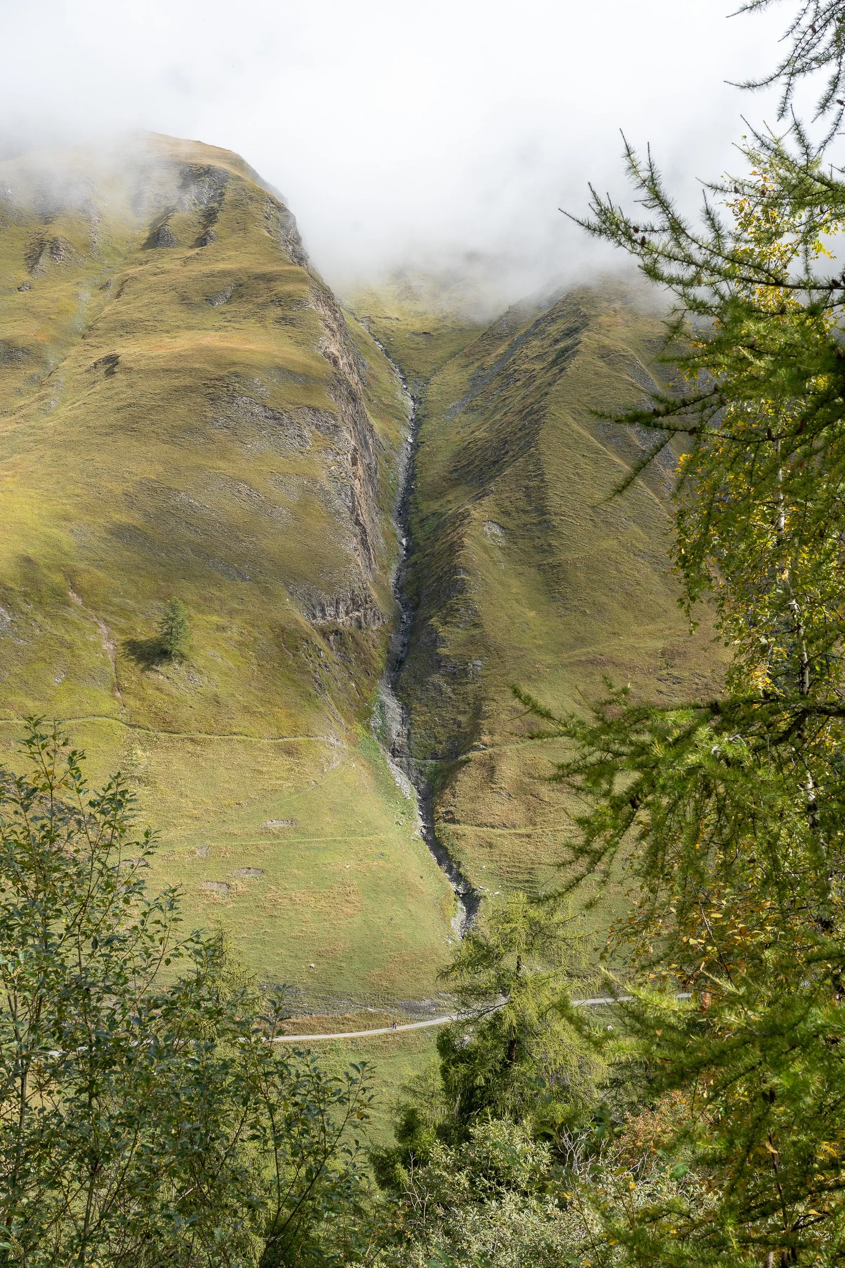
Refuge de la Croix du Bonhomme in the fog (as was much of the hike at higher elevations.)
Sheperd and his dog moving a herd of sheep (this was taken below Refuge de la Croix du Bonhomme on the way to Les Chapieux).
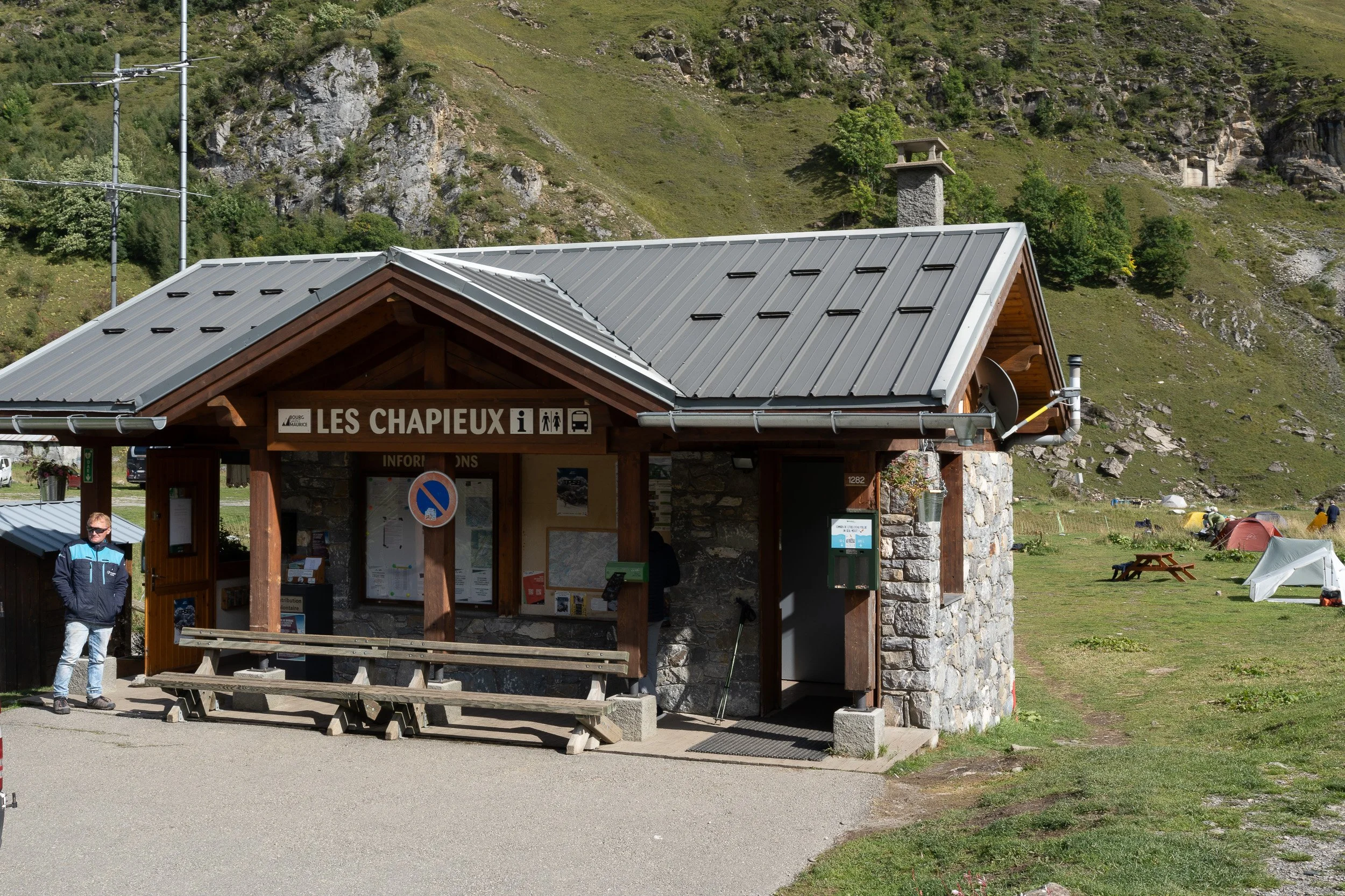
With few accomodations a Les Chapieux, a taxi took a group of us to Bourg Saint Maurice to stay at a hotel for the night and bring us back the next morning. The hike the next morning would begin further up the road from Les Chapieux at Refuge Les Mottets.

Early morning start from Refuge Les Mottets.


The border between France and Italy, up from Les Mottets on the way to Courmayeur. Bonjourno greetings begin to replace Bonjour.
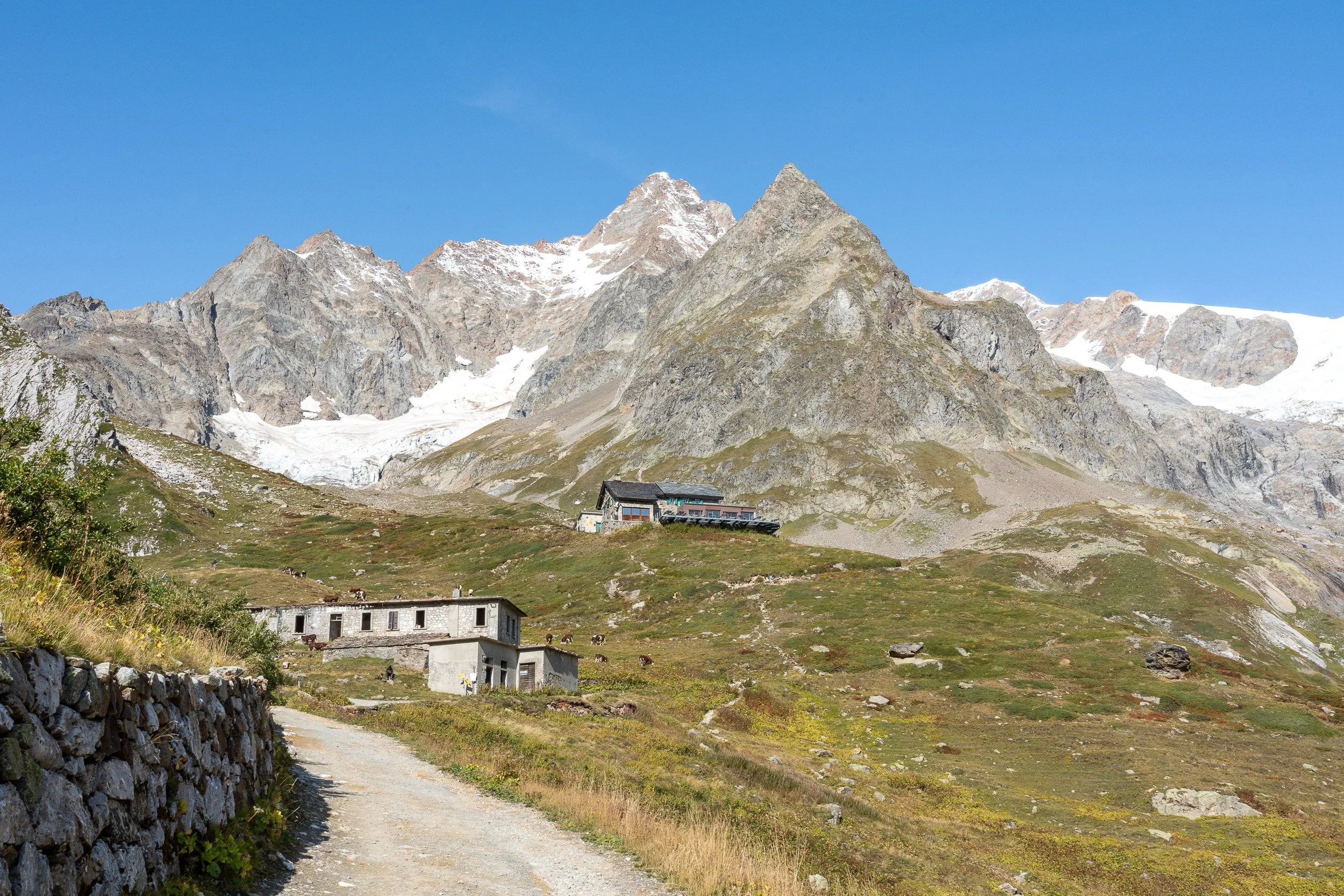
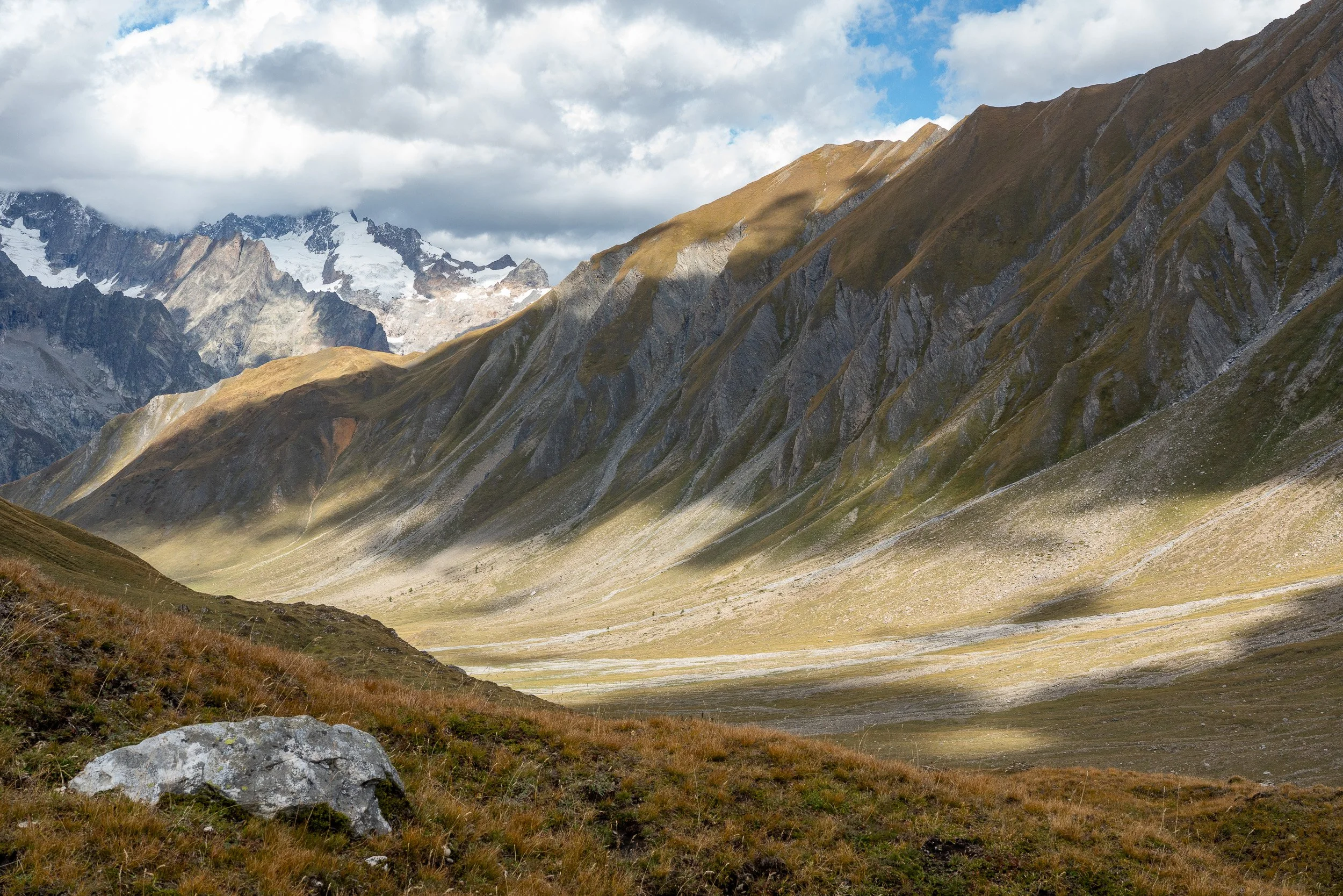
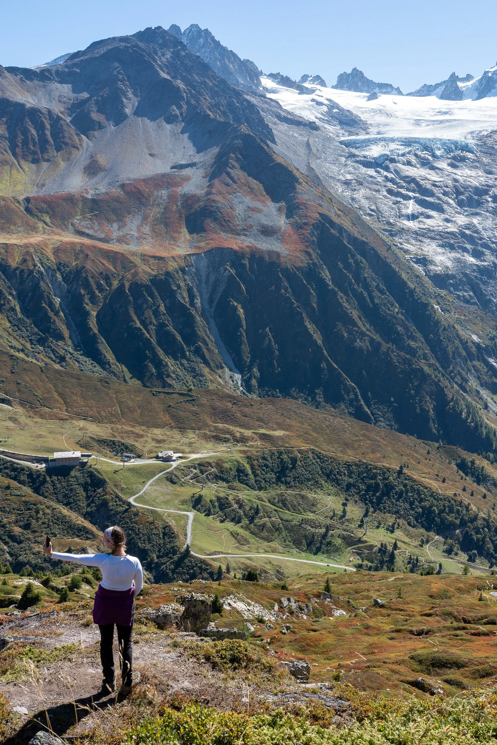
Refugio Elisabetta in the middle. At La Vasaille, I took a bus (free) into Courmayuer to stay at Hotel Bouton D’Or to avoid an extremely long day from Les Mottets. The next morning, I returned to La Vasaille to resume the hike over Col Checrouit and into Courmayeur.

These five images are all from La Vasaile heading into Courmayeur.
Refugio Maison Vieillie that sits above Courmayeur.
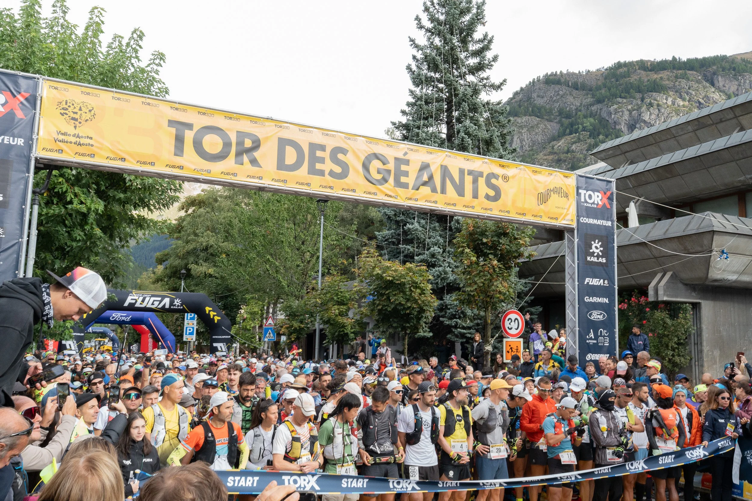

On a “rest” day in Courmayeur on Sunday, September 14, two heats of approximately 1,100 trail runners participated in the Torx 330. The race began in the center of Courmayeur with pre-race festivities. Participants had to run approximately 205 miles and cover almost 79,000 feet of elevation gain. The maximum time to complete the course was 150 hours, which included sleep time. This year’s winner did it in a little over 66 hours. By comparison, the TMB is 105 or so miles and I’m doing it in about 12 days, not including the rest day.
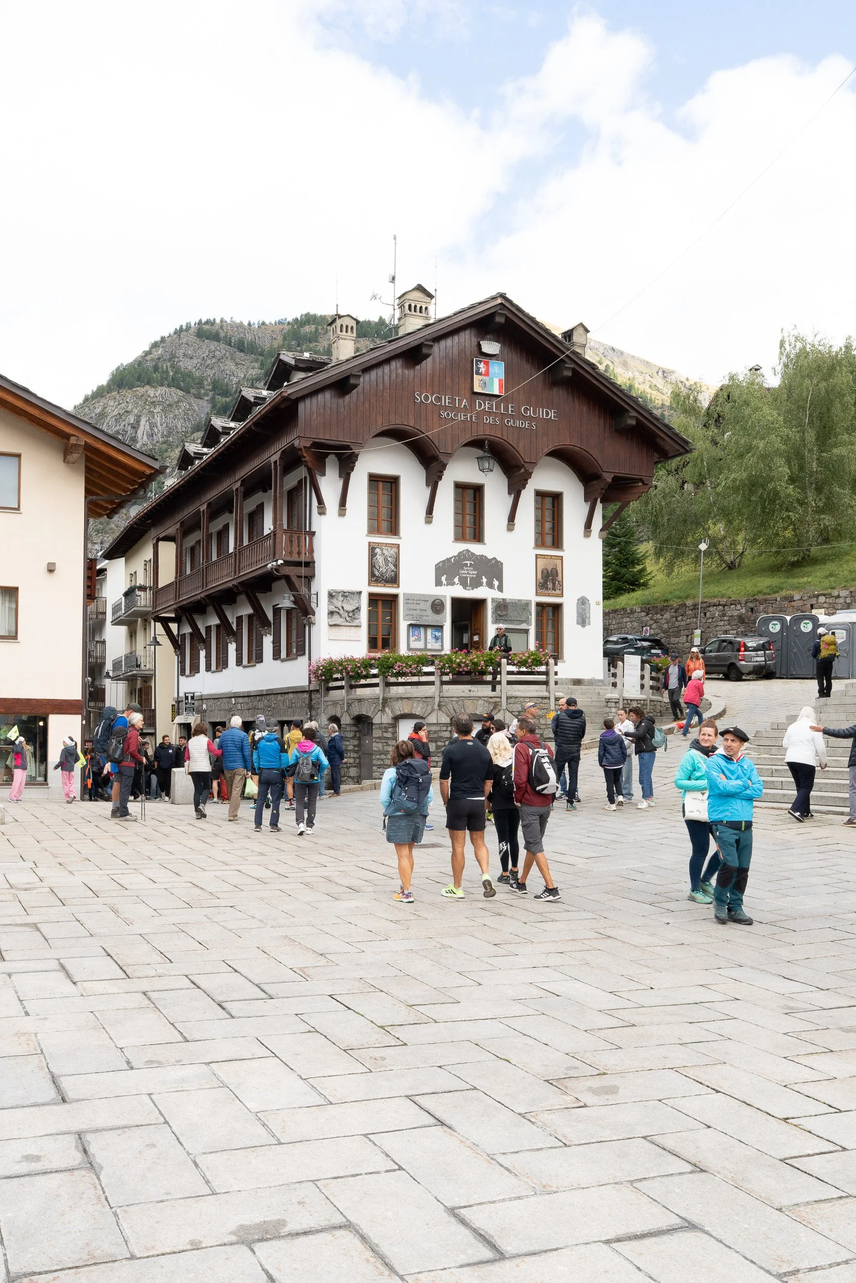


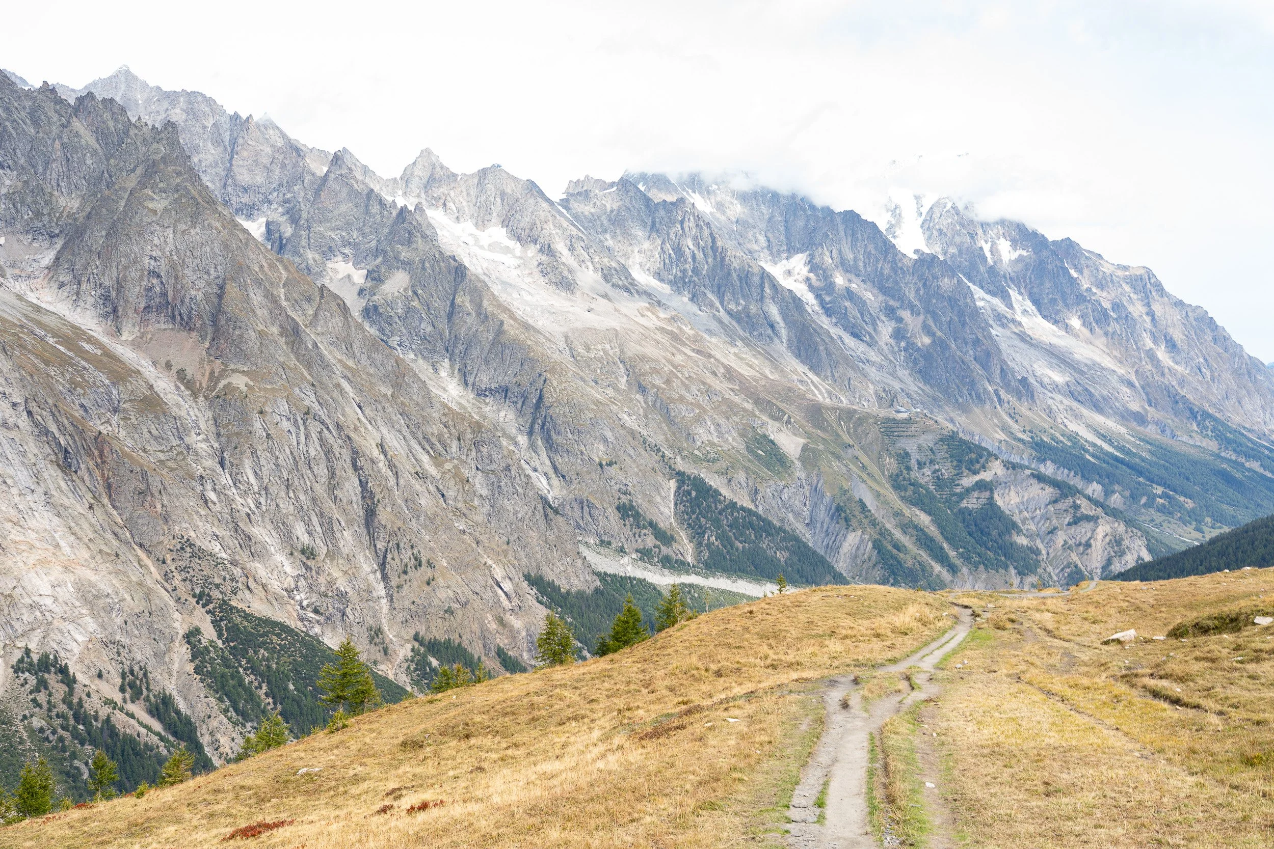
After the rest day in Courmayeur, it was time to resume hiking. These are images hiking out of Courmayeur headed toward Bonatti Refuge. The first image is passing the Guide Museum heading out of Courmayeur. Next to it is a view approaching Refuge Bertone that sits above Courmayeur. From there the trail split and I took the higher elevation variant to Bonatti. The last image shows the trail across the valley from La Vasaile to Courmayeur that I walked several days prior. Refuge Bertone is a small spec on the right side of the photo.


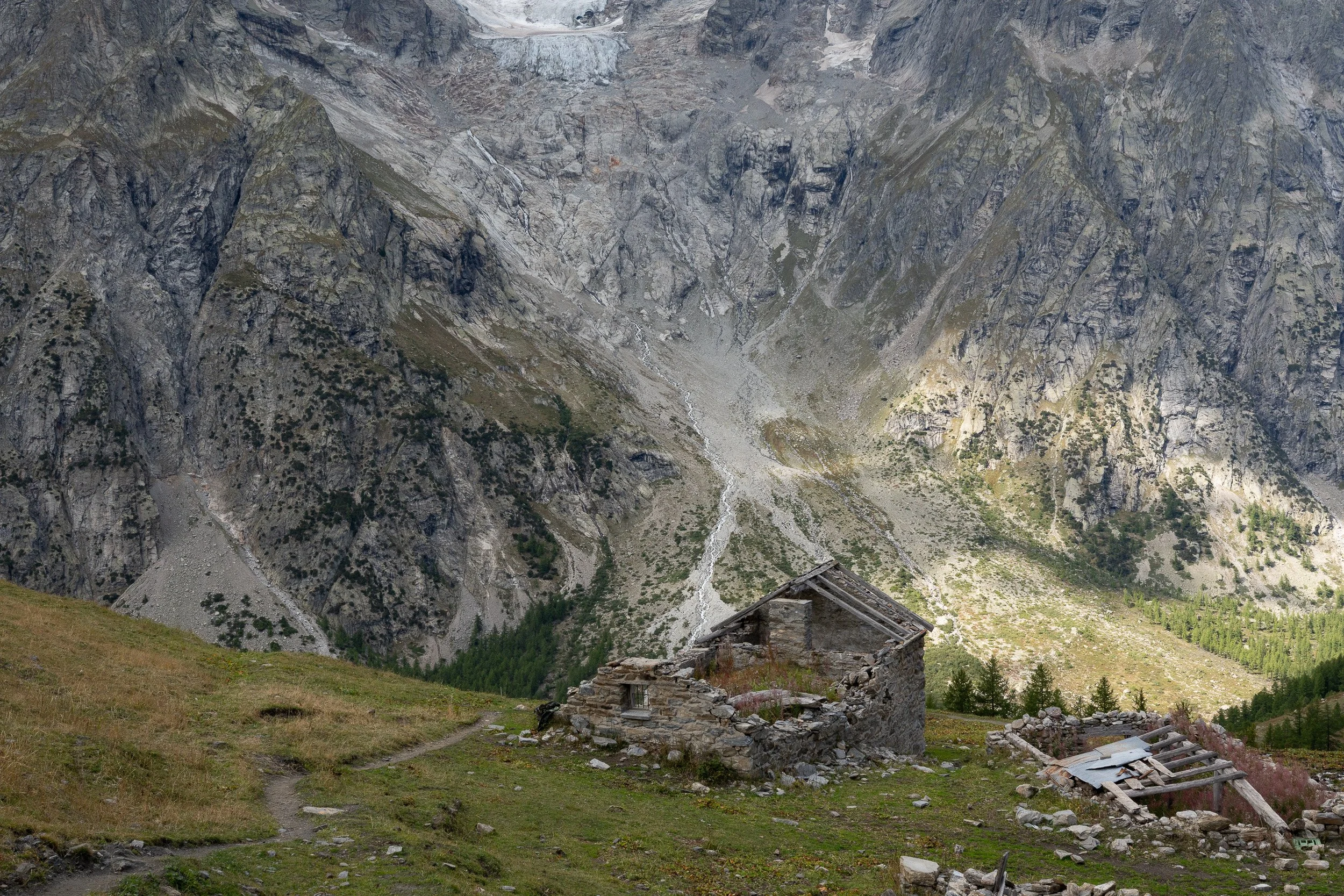
These ruins were near Refuge Bonatti. Down in the valley, I got a bus (free) back to Courmayeur for one final night. The next morning at 7:50am, a bus drove hikers to Arp Nouva to begin the next stage, hiking over to La Fouly.
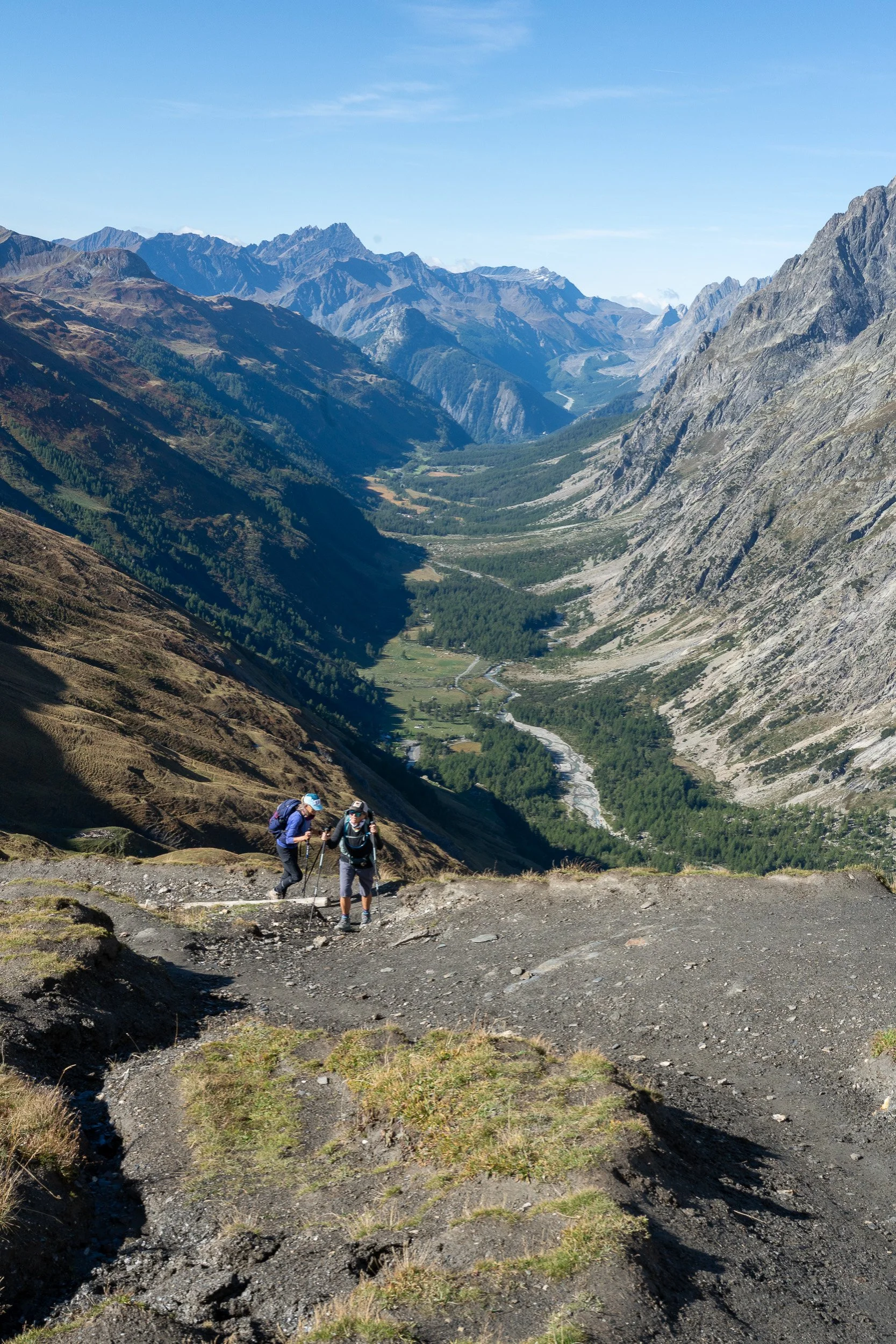
Refuge Helene. As I hiked higher and higher, the refuge receded more and more with Courmayeur far down in the valley in the last image on the right.
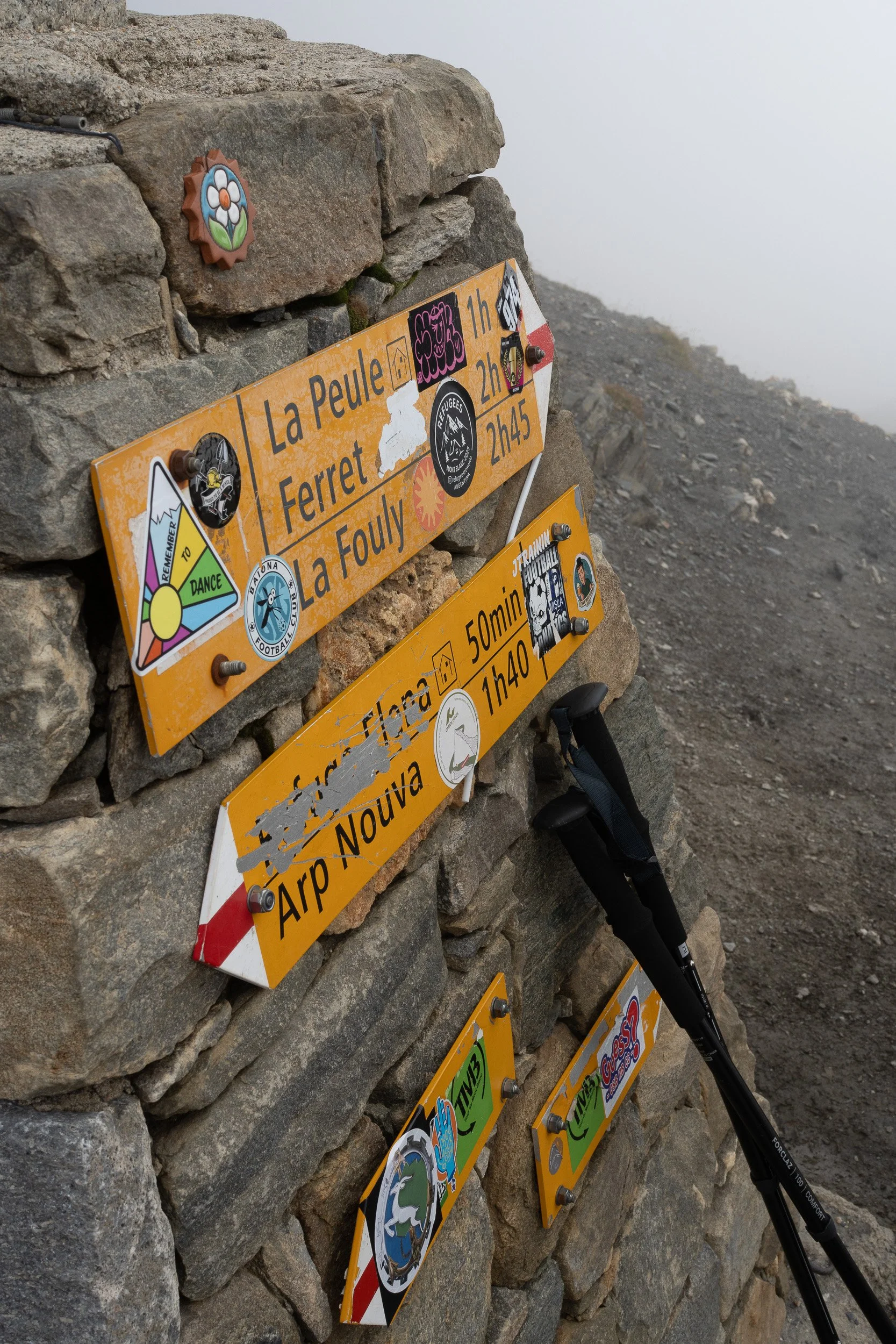
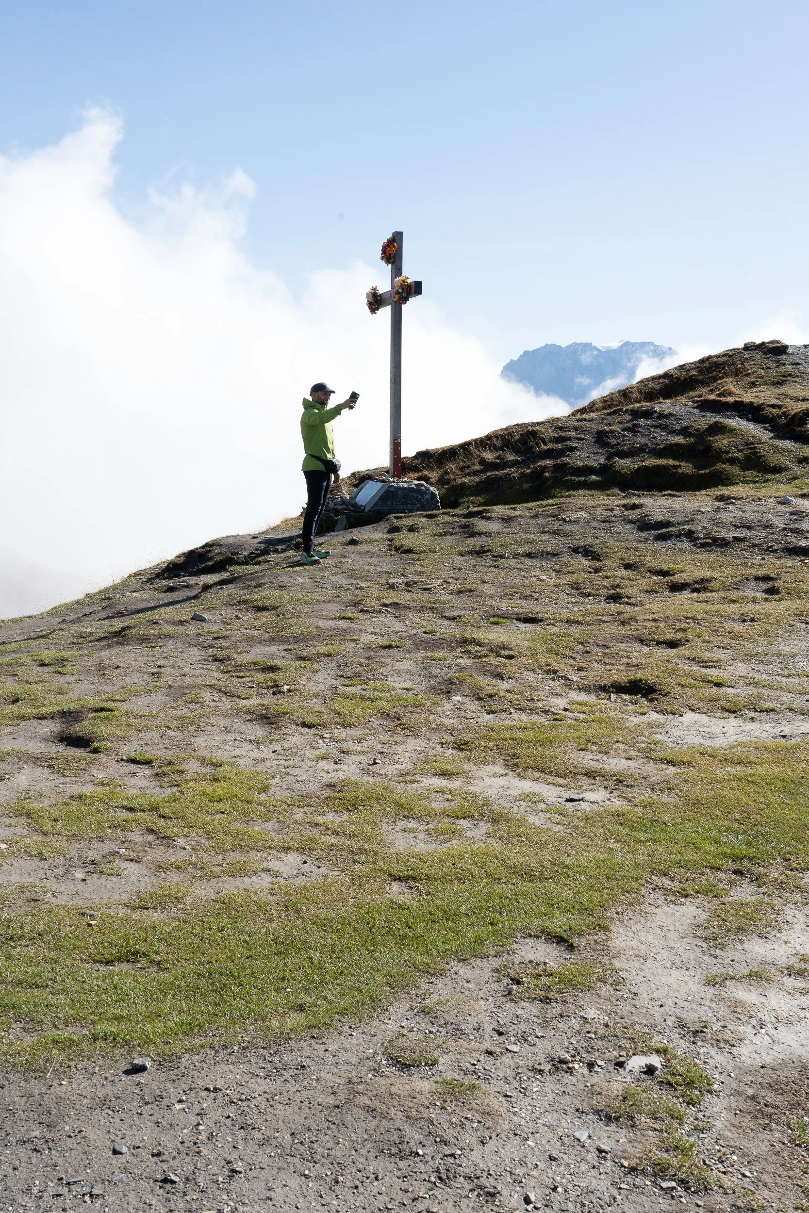
Marker and cross at Grand Col Ferret on the way to La Fouly.
Getting closer to La Fouly. There is a small spec of a person on the trail below.

A colorful arrangement of flowers on the porch of Gite de la Fouly, where I stayed.

The next morning, this was the view from the trail as it neared Champex. There were many enjoyable wood sculptures along the trail (not included here). They are called Sentier des Champignons (Path of the Mushrooms) and apparently was a group effort by nearby residents.
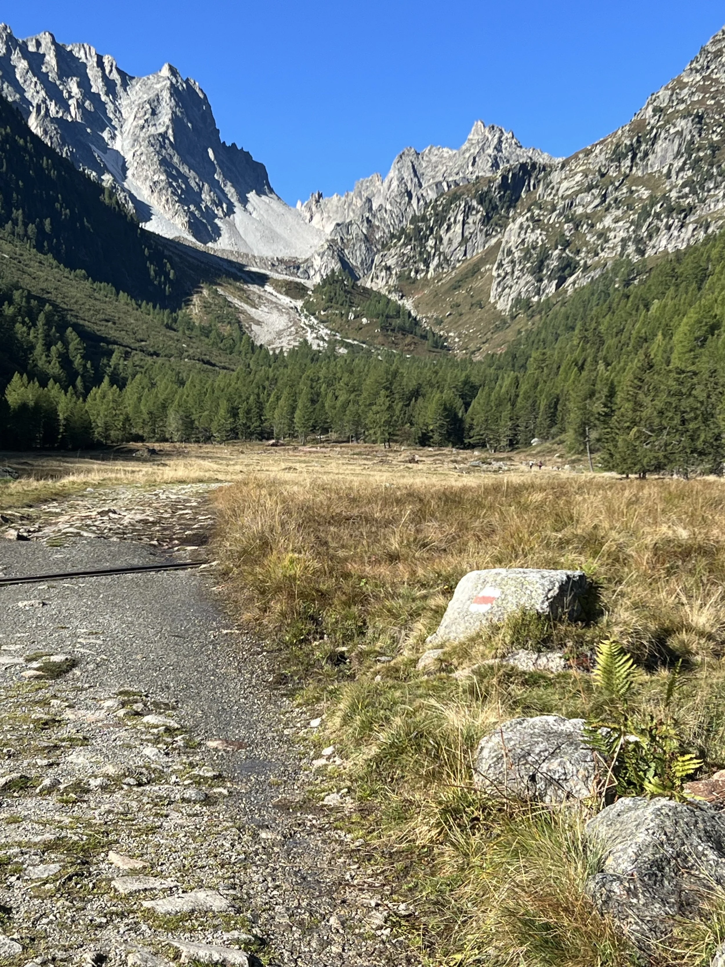
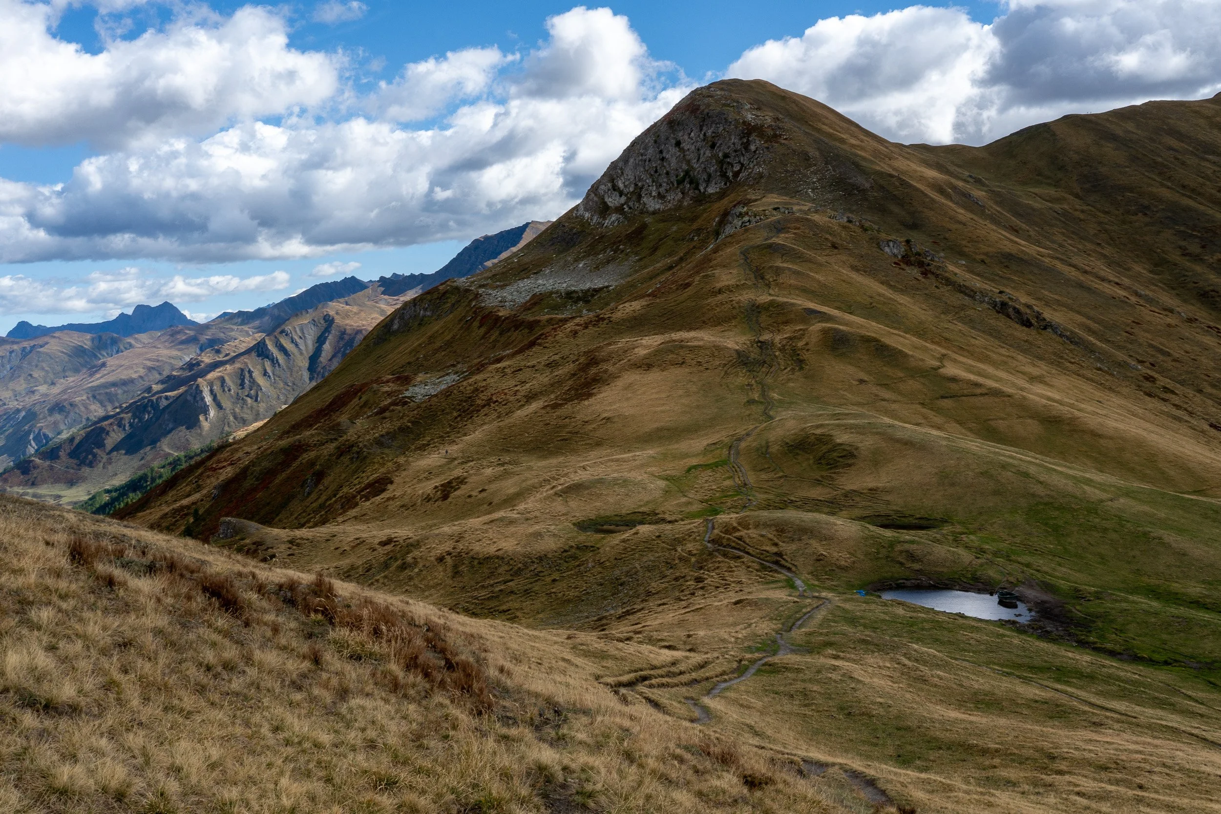
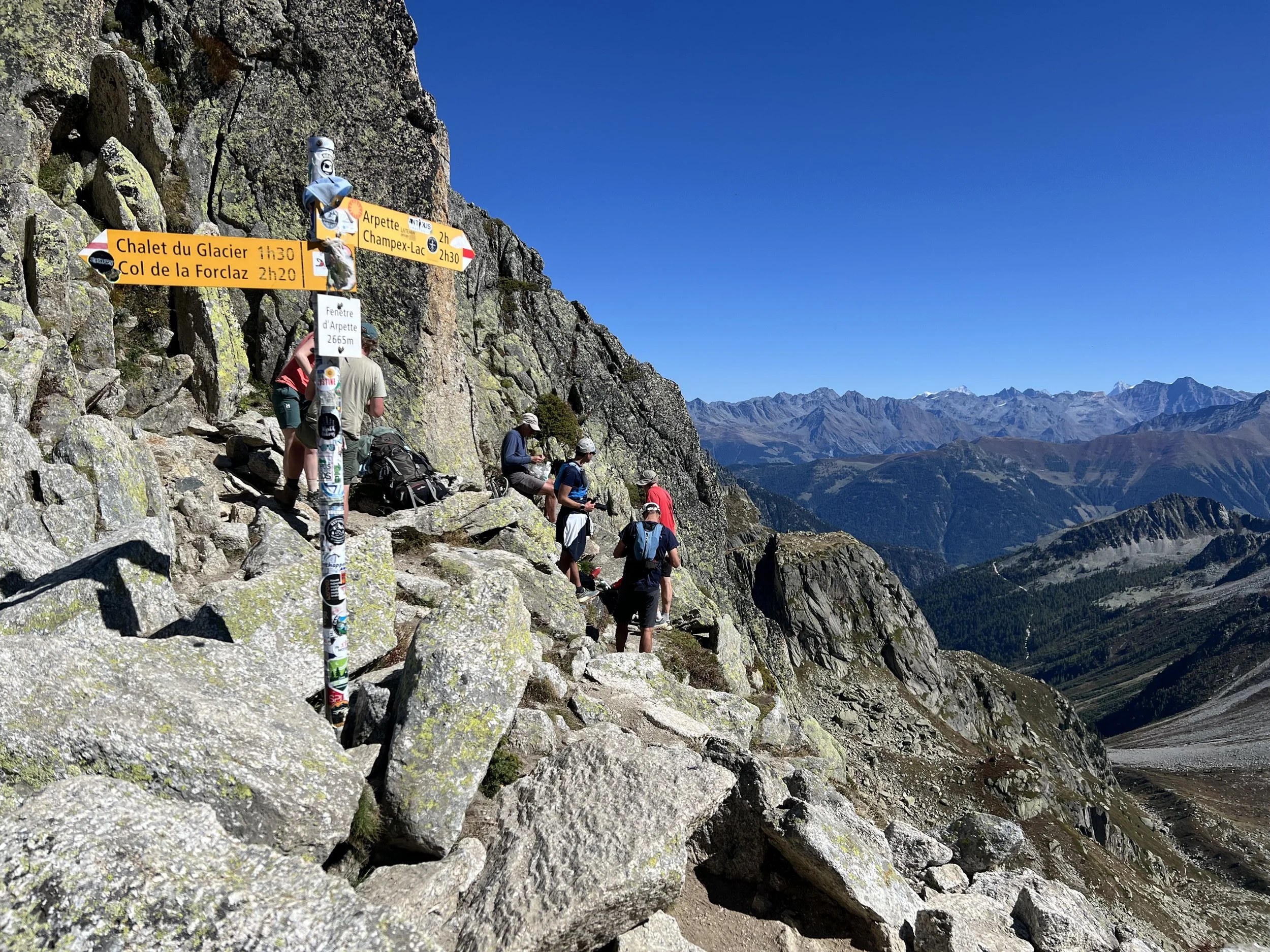
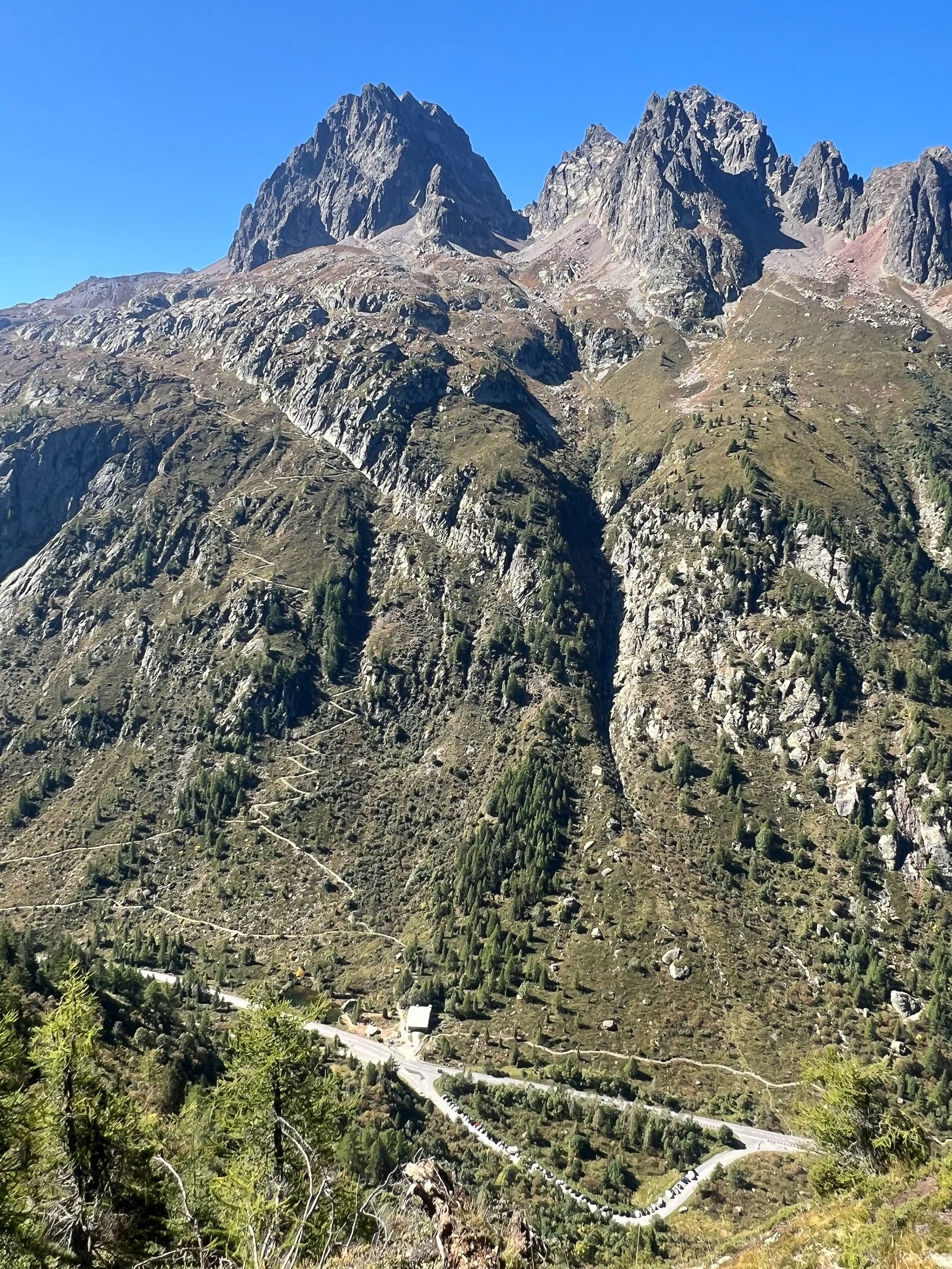
After Champex, the next day was the hardest of the whole trip: going over Fenetre d’Arpette, a high elevation variant that goes to Trient. The trail goes over the dip in the middle image above.
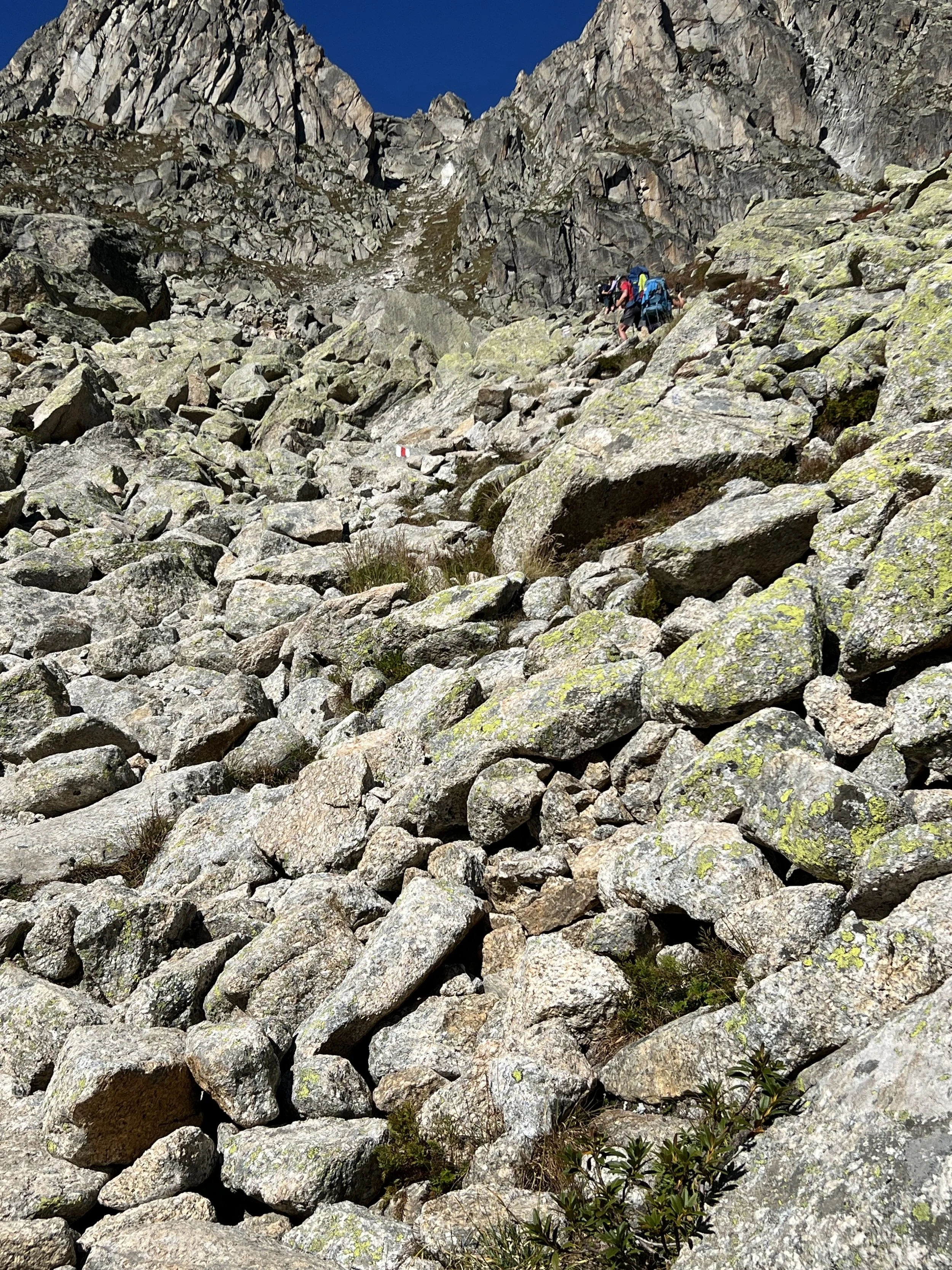

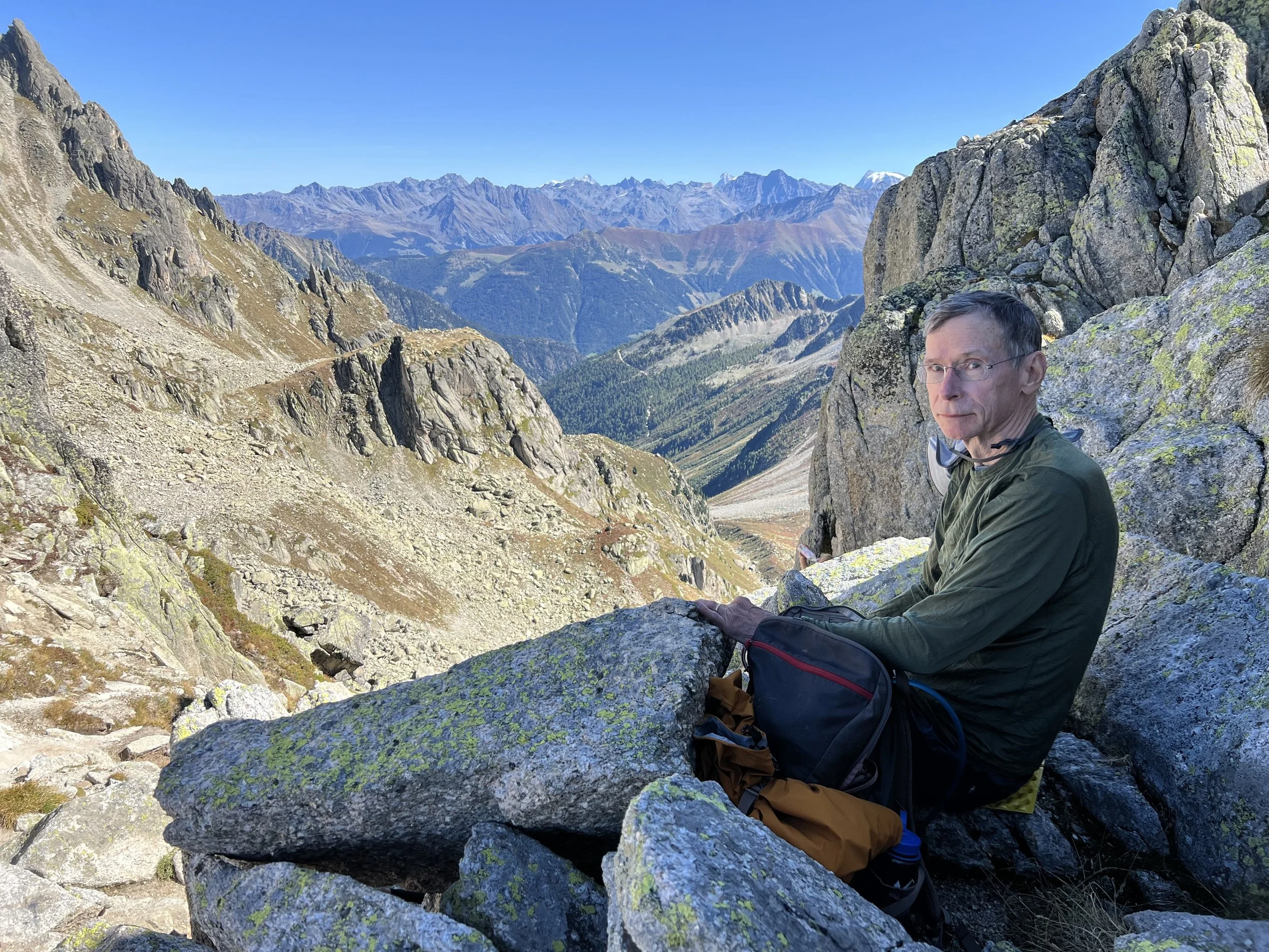
Boulder field approaching the Fenetre d’Arpette. Rated extreme by Macs Adventures.
Lunch break for everyone after a very difficult climb to Fenetre d’Arpette, myself included, on the right.
Village of Trient
Hikers leaving Trient for Tre-la-Champ
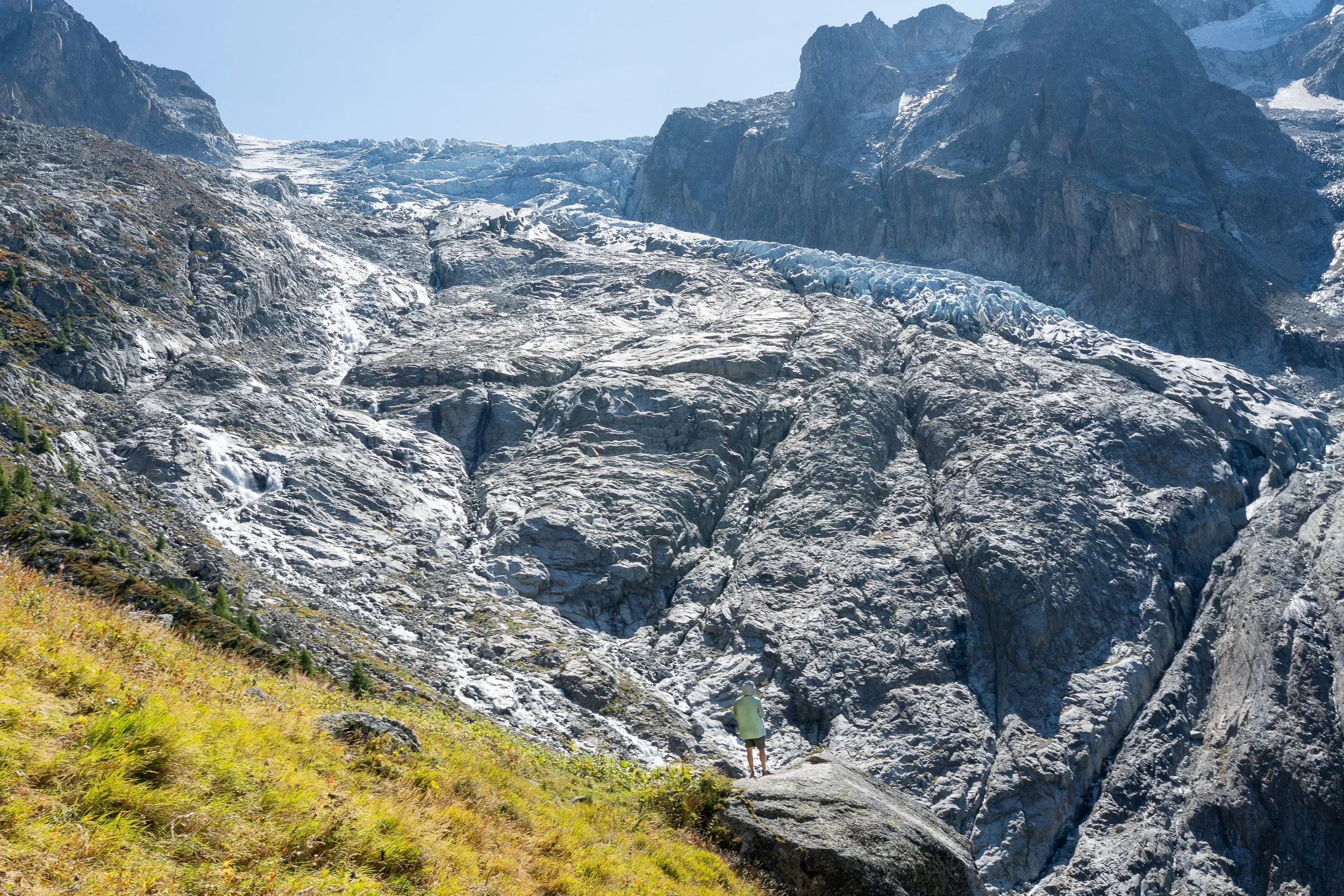
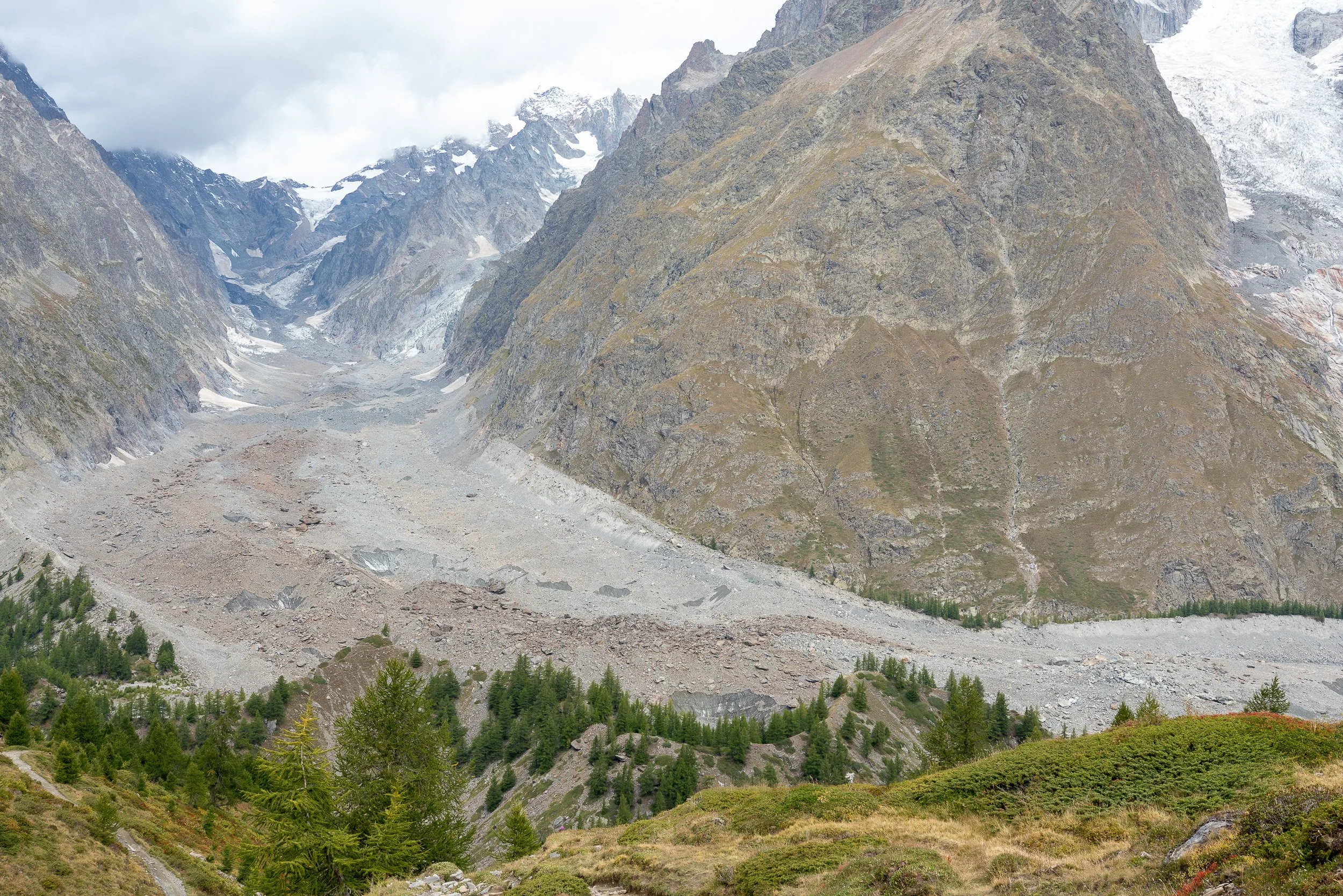
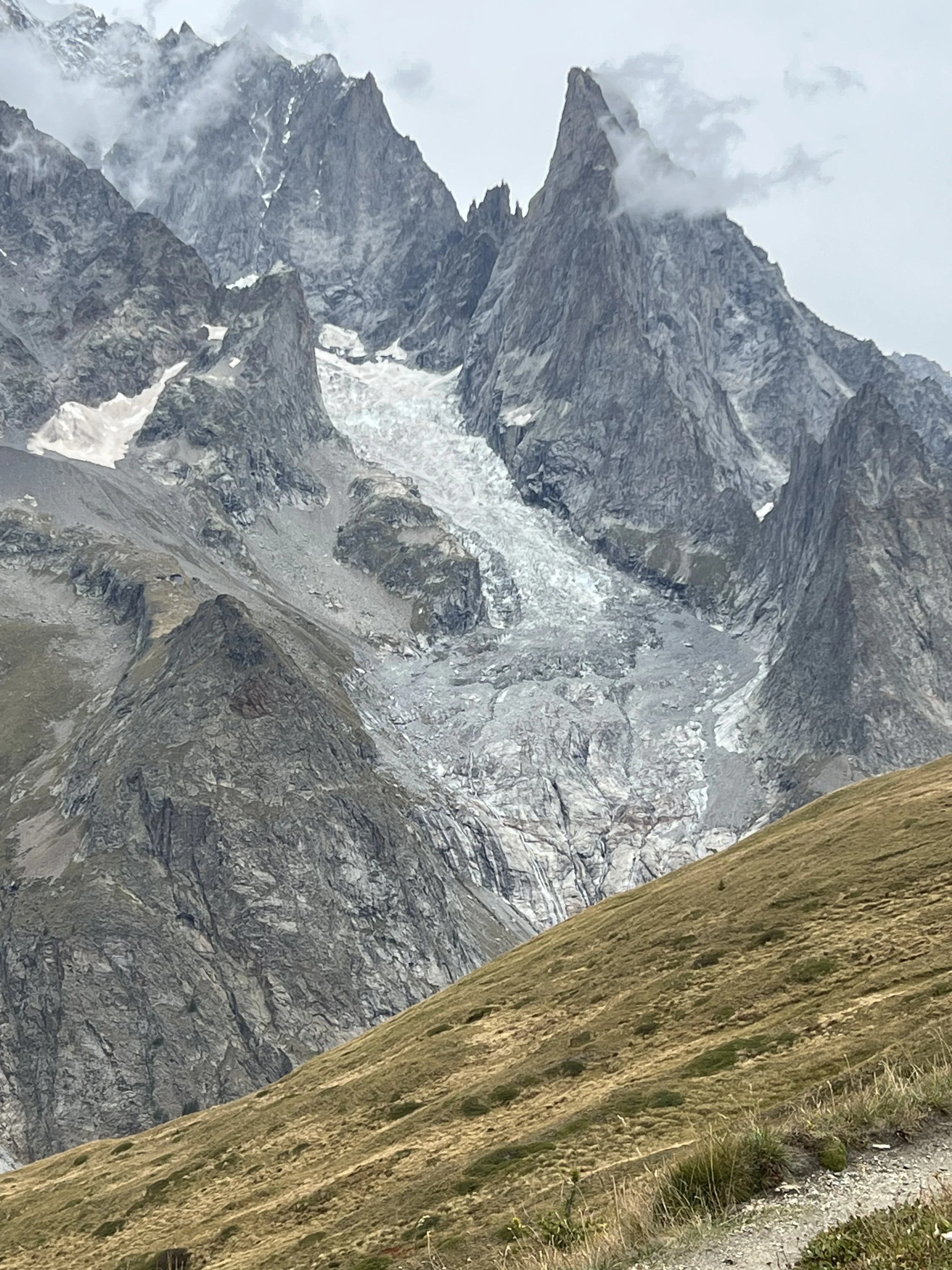
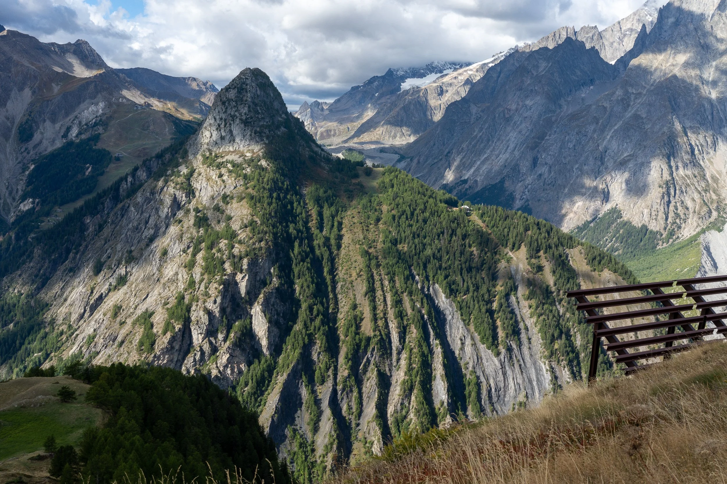
Crossing over the pass is Trient Glacier (with a viewer in the foreground). Much of what is in the photo is scoured rock. The glacier is at the top and flows down to the right.

La Grand Ourse Hotel

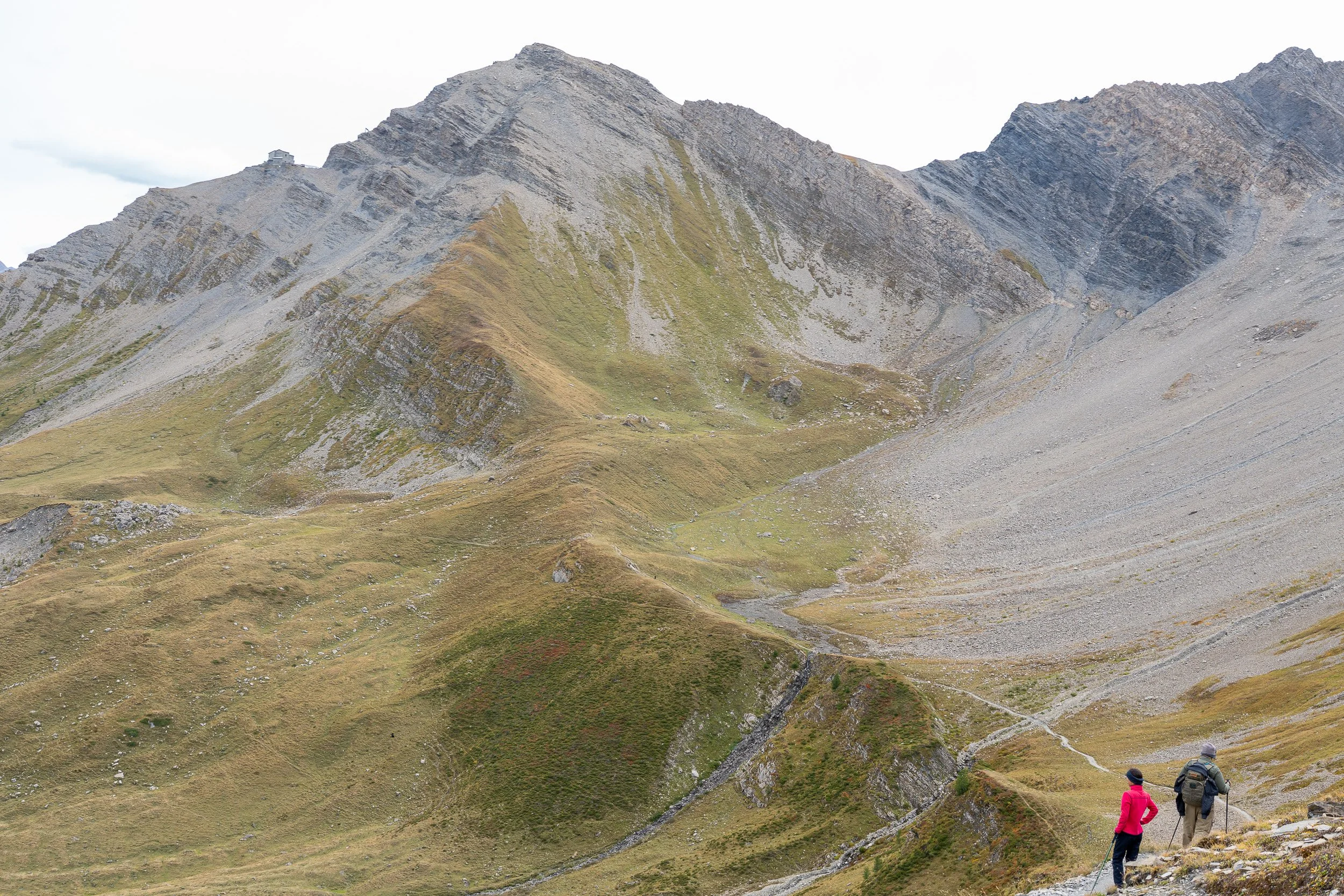
Approaching Refuge du Col de Balme
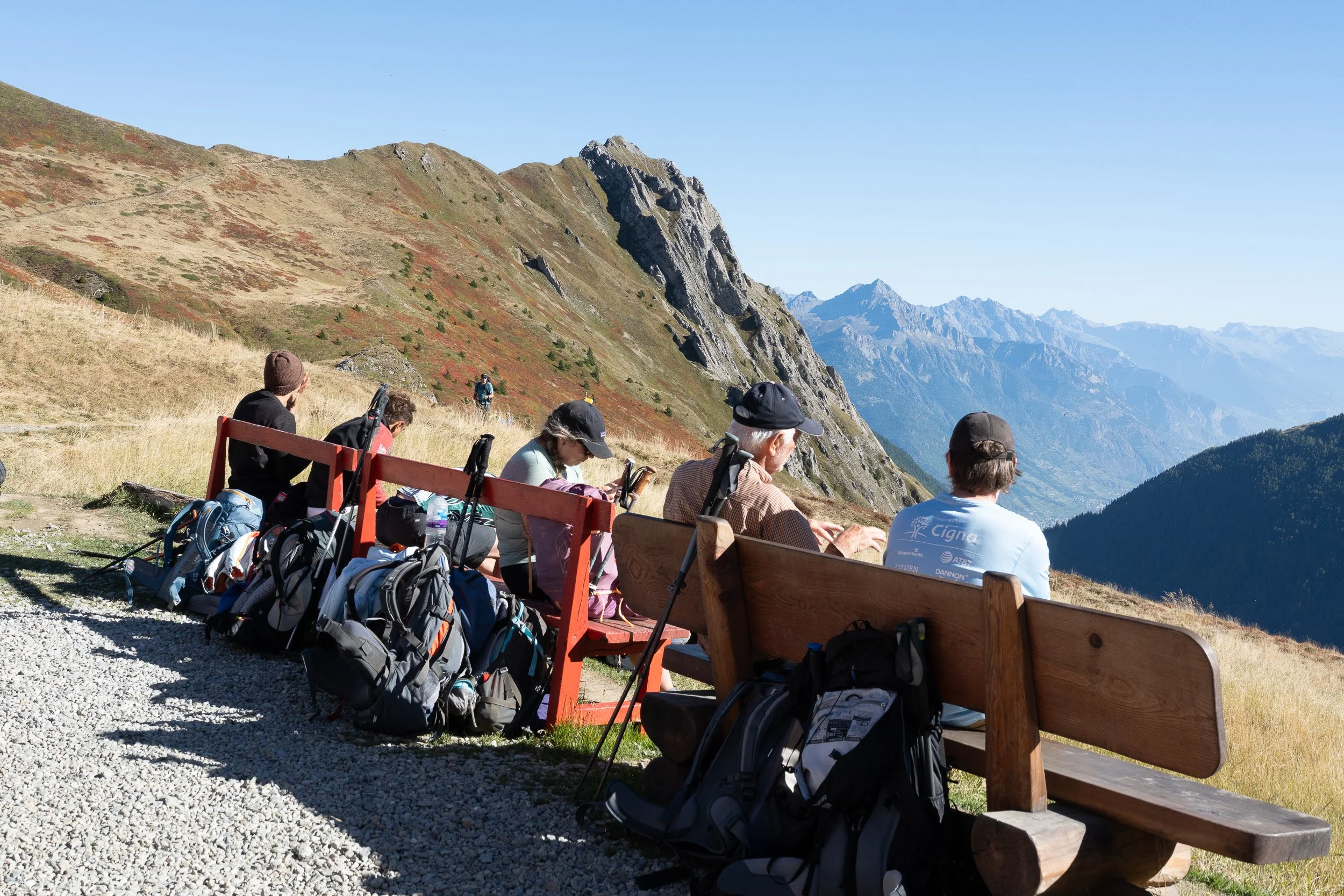
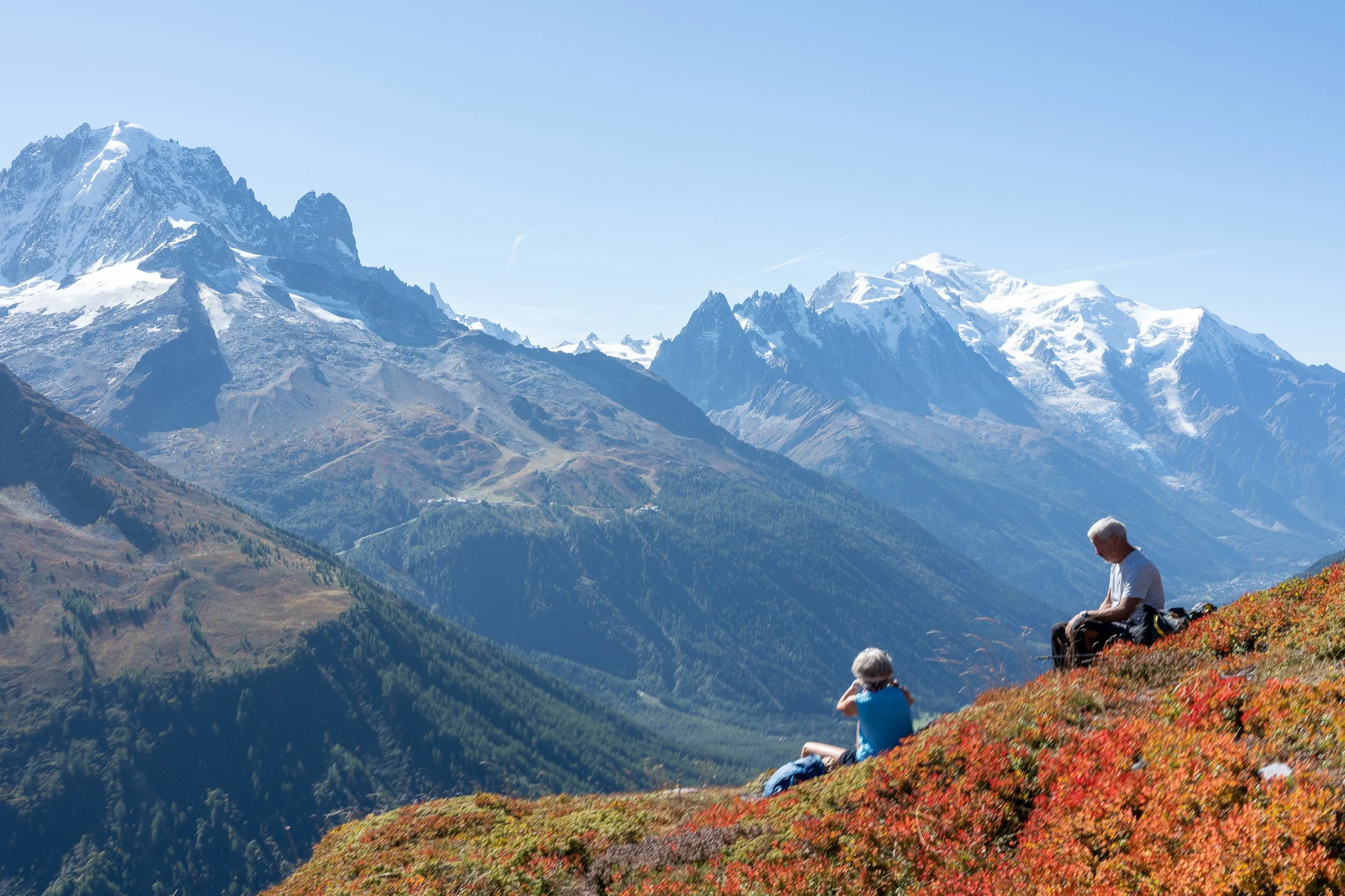
Hikers taking a break on a bench with a view on a fine day at Refuge du Col de Balme.


The above photos are between Refuge du Col de Balme. Once at Tre-la-Champ, I stayed at Hotel De La Couronne in Argentiere. The next morning I walked from Argentiere to Chamonix partly on the Petit Balcon Sud and partly along the river Arve.
Children’s park near the Arve River and Chamonix
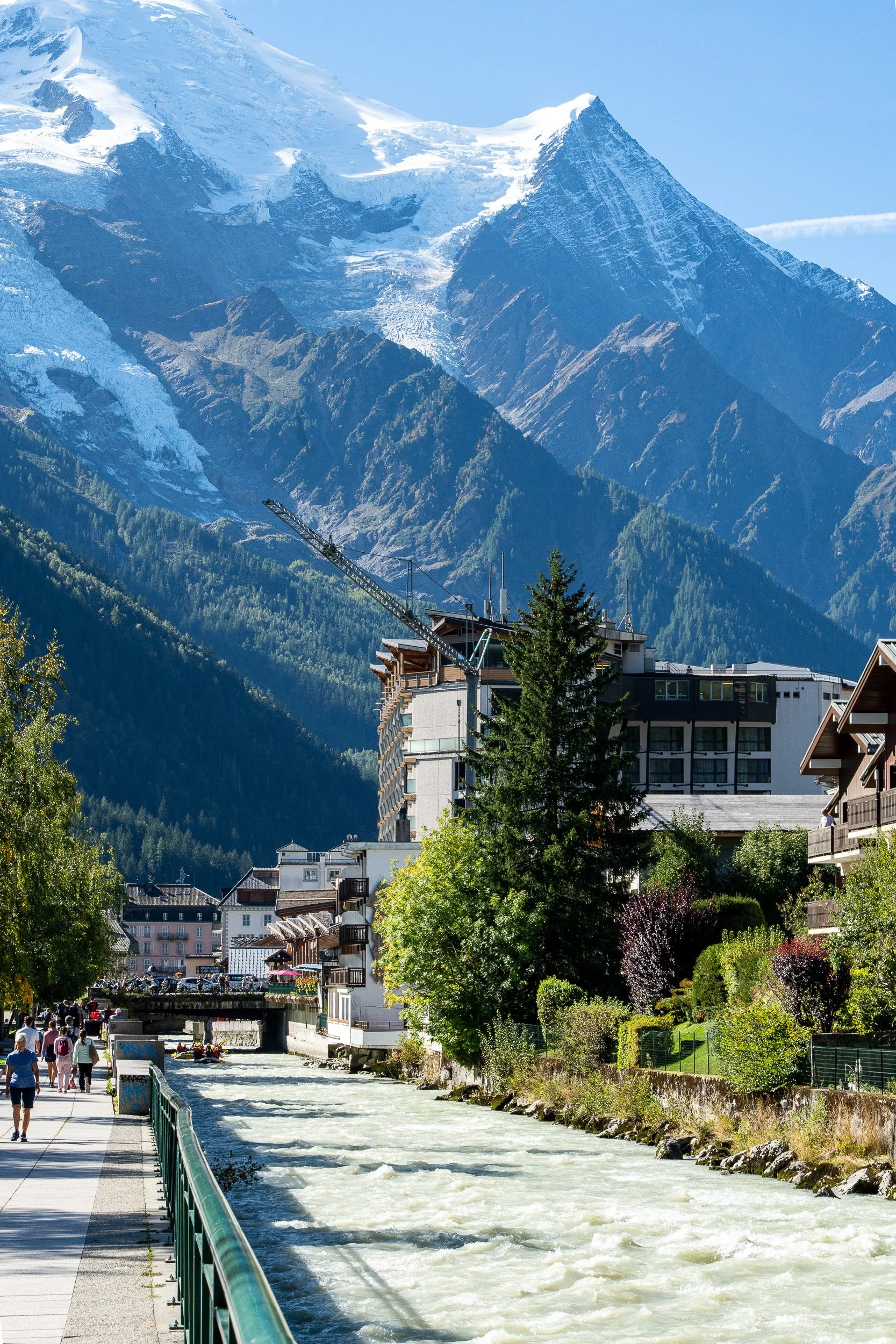
River Arve running through Chamonix
I completed the TMB September 21, 2025 at 74. I saw other seniors on the trail, some probably older than me. Hats off to those older than me who decided to take up the challenge. I did end up with some tendonitis from overuse in one of my ankles but it was worth it.